Sembrando Ciudades has two major components, the technical process and the participatory process with the community, for which each of the consulting teams has expertise in one of the two areas, and combined, it was possible to maximize its scope and impact. For the more technical component, the REVIVE team carried out a series of strategies and local actions in favor of the conservation, improvement and expansion of urban trees and green infrastructure, generating a spatial and operational toolbox to promote informed decision making on urban greening needs. Colectivo Tomate led the participatory processes by promoting the construction of a community model through multiple activities of environmental awareness and integrated risk management, strengthening the inhabitants to face the current challenges and appropriate the demonstrative solution to promote climate adaptation installed in the public space.
Throughout the work with each city, there were different stages according to the type of activities carried out:
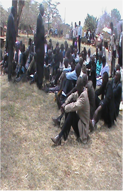
First approach with local officials, population and civil society involved with each city, in order to present the vision and objective of the project, as well as to generate a communication network to support the logistics of the implementation of all the activities to be carried out.
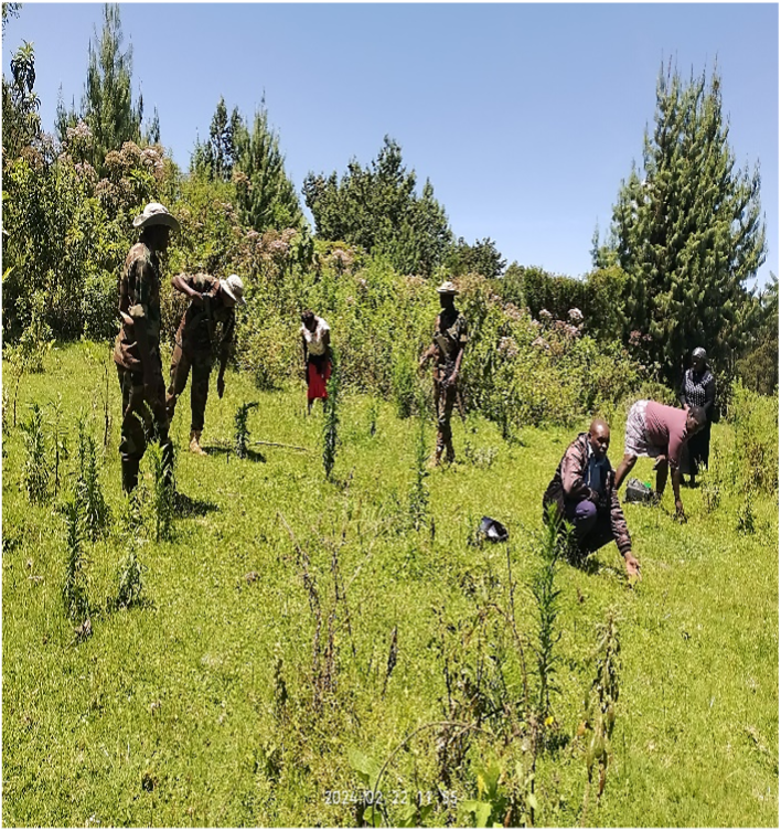
Spatial diagnosis of the selected site in terms of urban trees, pollution indexes, heat islands, among others, as well as a face-to-face analysis of the site to determine the feasibility of implementation aligned with the objectives of the initiative.
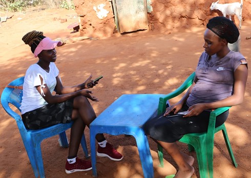
Meetings with the community surrounding the implementation site where the field team introduces itself and explains the project's objective. Using a socio-artistic methodology, spaces are created to meet and dialogue with the people to learn about their needs, and thus begin to build a collaborative proposal sufficient to execute a demonstrative action in the public space that meets local needs.
- Socialization and training
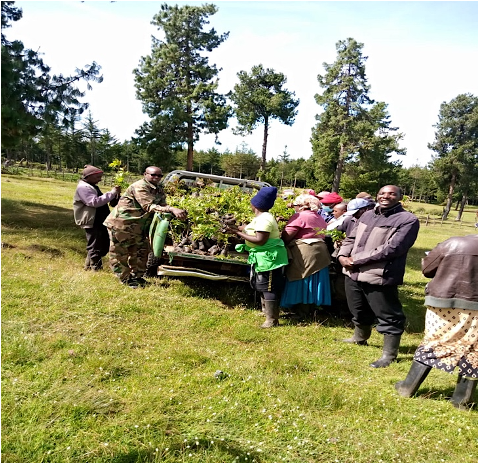
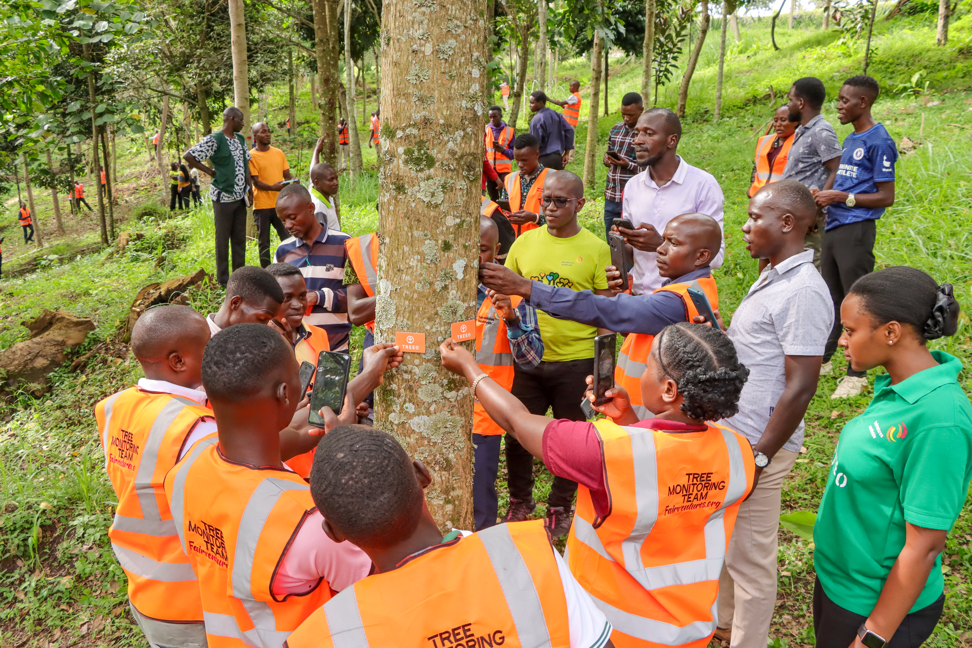
Capacity building for the community and local officials, through awareness raising and socialization of essential concepts to address the climate crisis.
Installation of demonstrative actions that favor climate adaptation and meet local needs, promoting environmental and social connectivity in the area, as well as color interventions through murals and floor painting to promote the habitability and enjoyment of the space by children and neighbors.
Commemorative space for the delivery of the results of the project, recognizing all the key actors involved, and community participation.