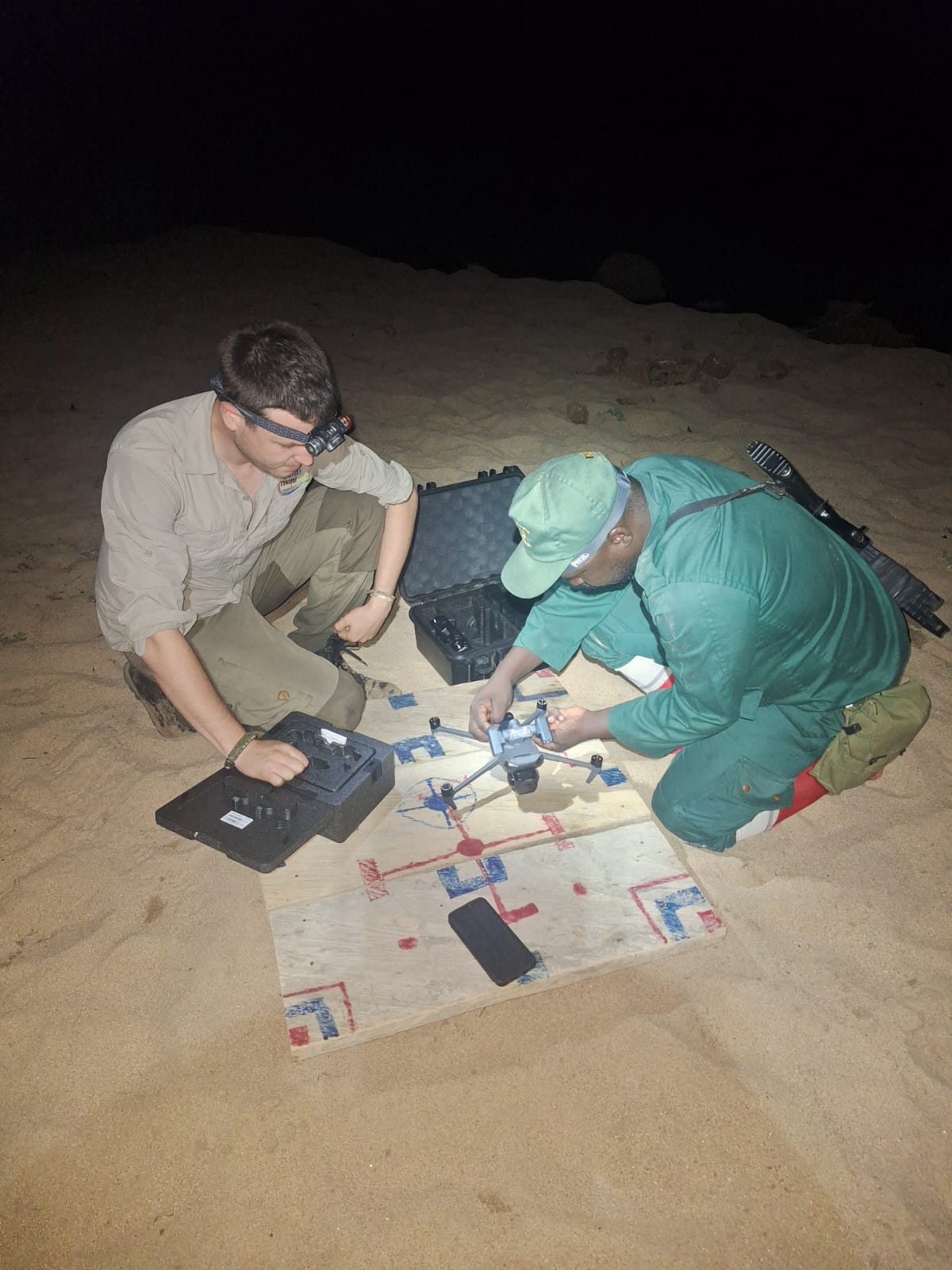
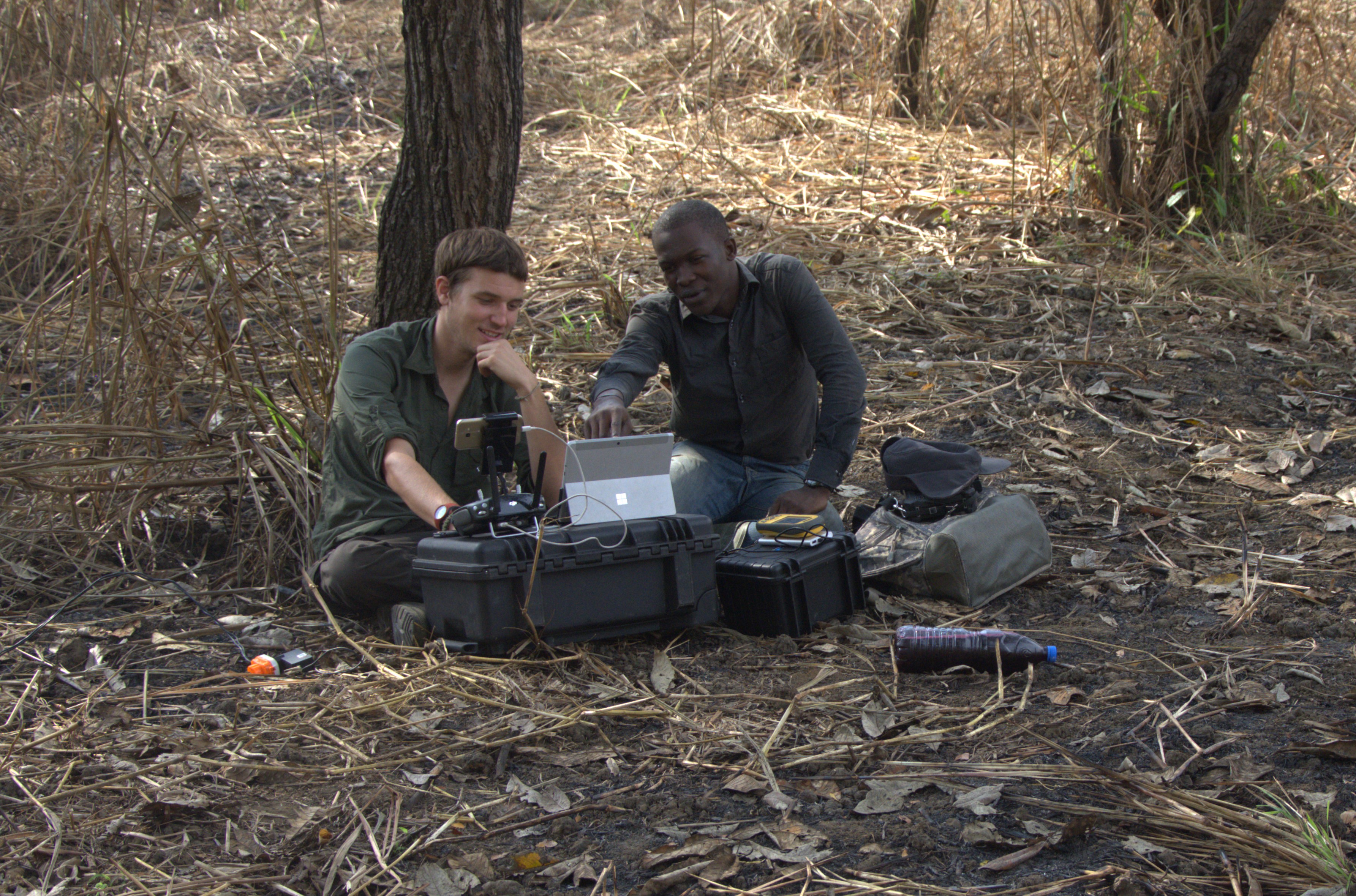
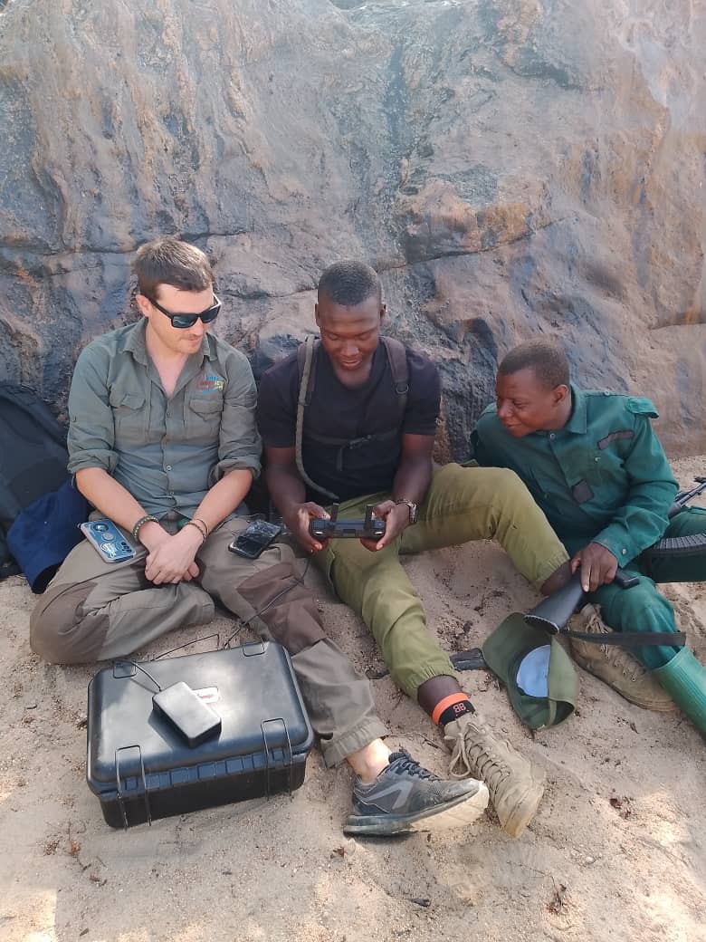
1) Standardized Drone Survey Protocols
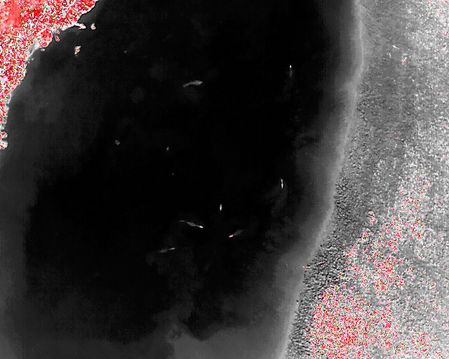
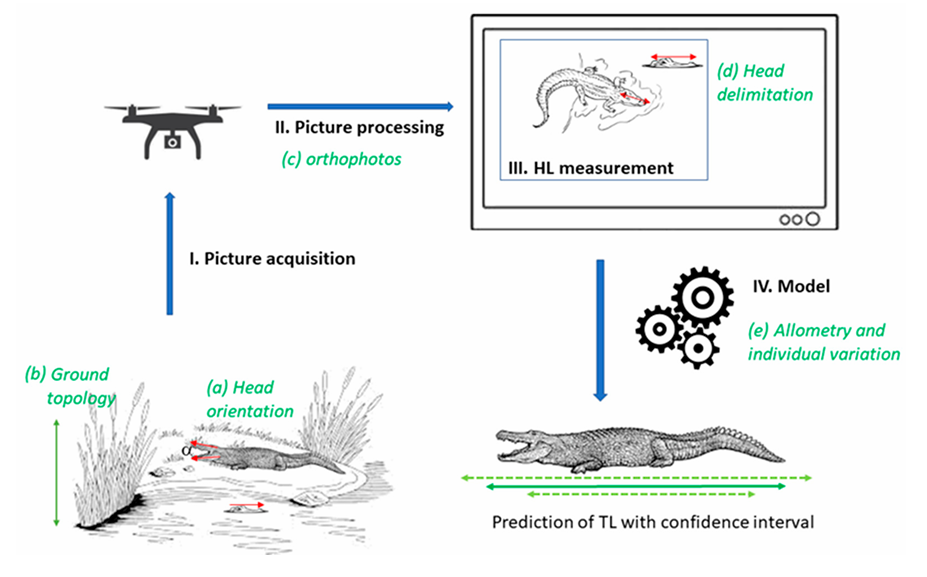
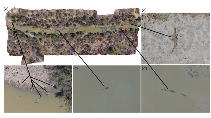
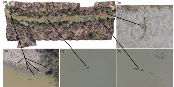
2) Estimating total length of crocodylians from drone-captured images by using a model
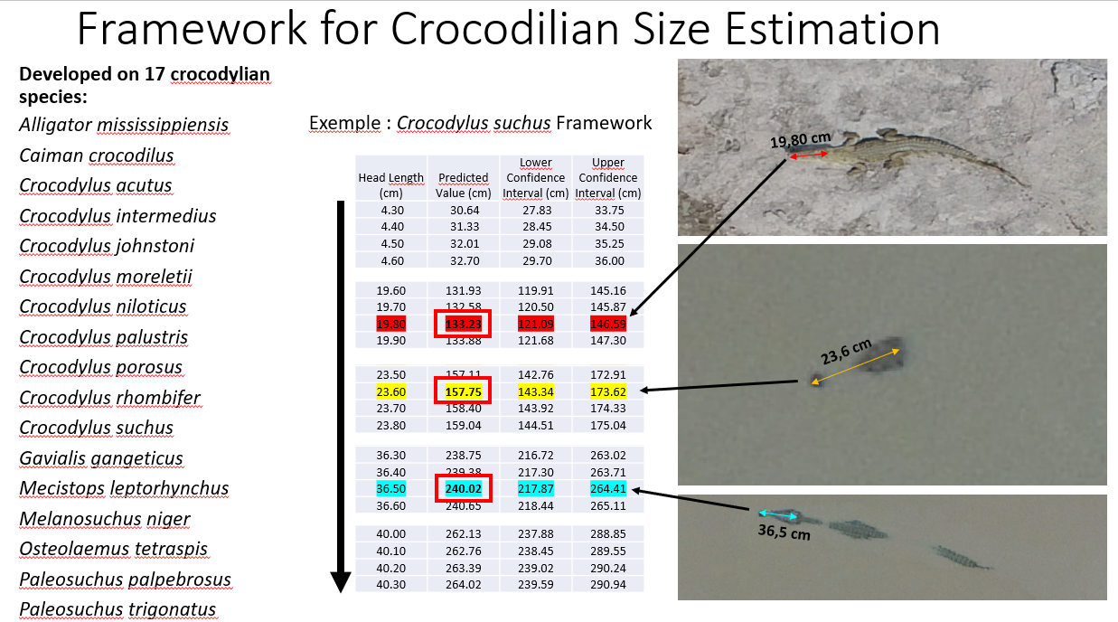
3) Allometric Framework for Crocodilian Size Estimation
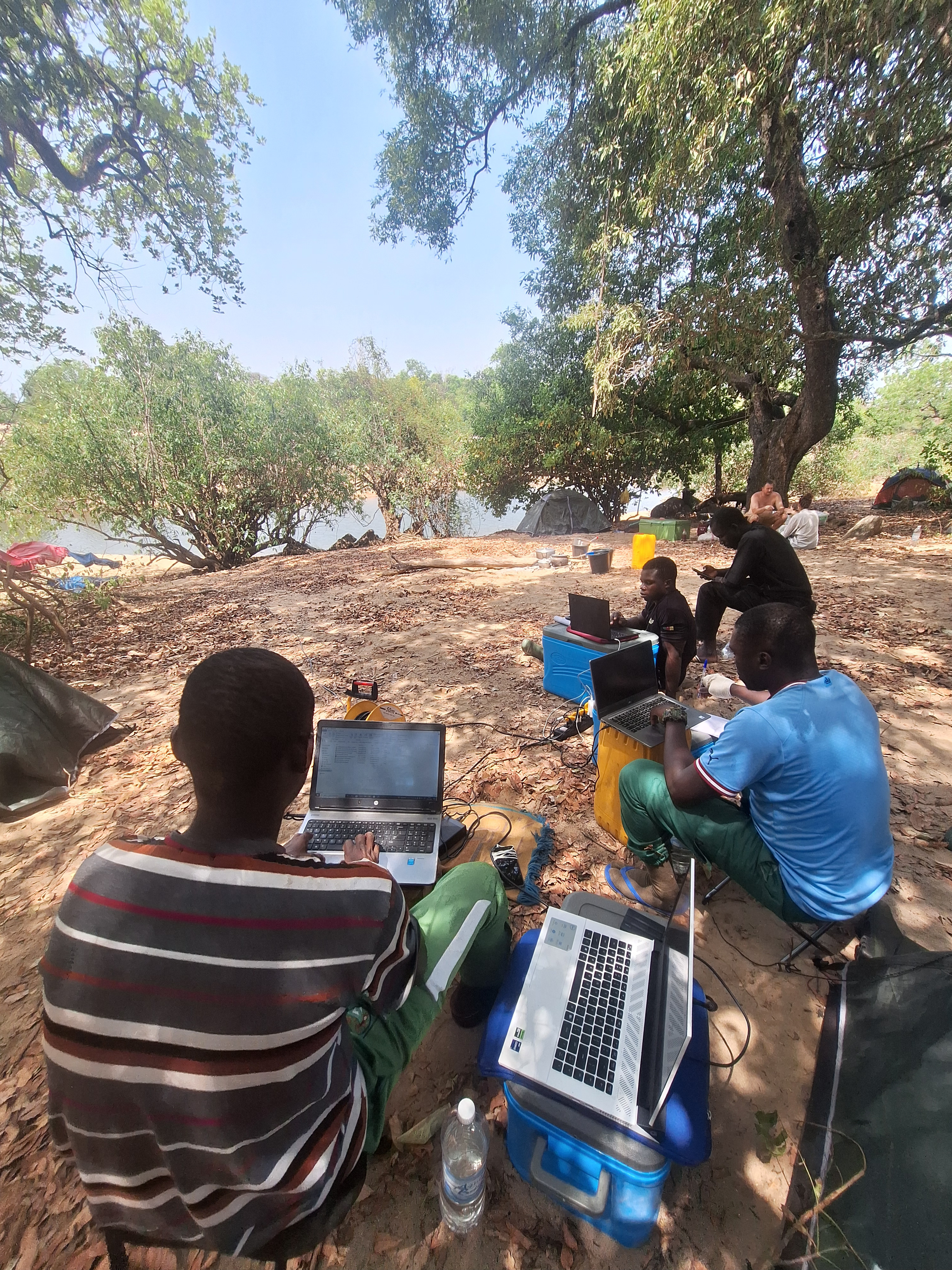
4) Empowering Local Stakeholders through Drone Technology
5) Evolution of on-board technologies and AI integration