The purpose of the Academy was to support participants in developing the skills and experience necessary for leadership in navigating complex systems and fostering agroecological transformation.
A suitable concept to fulfill this purpose was developed over a span of three months (July – September 2023):
Consequently, the purpose was distilled into three key objectives: Learning, Acting, and Networking. These objectives were reflected in the design of each session and supported at three levels: individuals, country teams, and the global cohort.
The methodology of the Agroecology Leadership Academy was based on 7 principles:
- A close connection between the topic of Agroecology (the “What”) and Transformation and Leadership (the “How”)
- A clear focus on transformation skills and mindset
- Transformation initiatives as core learning projects
- In-Country facilitators to support the country teams
- Linking Learning, Acting and Networking
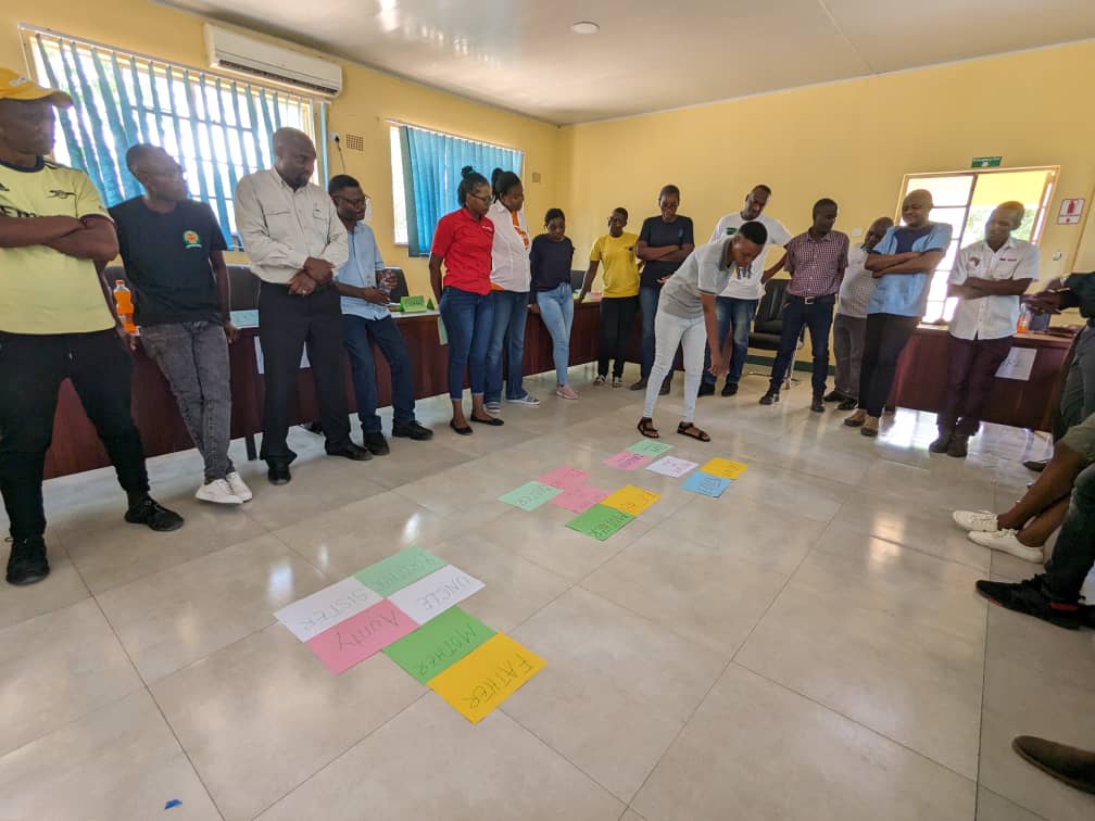
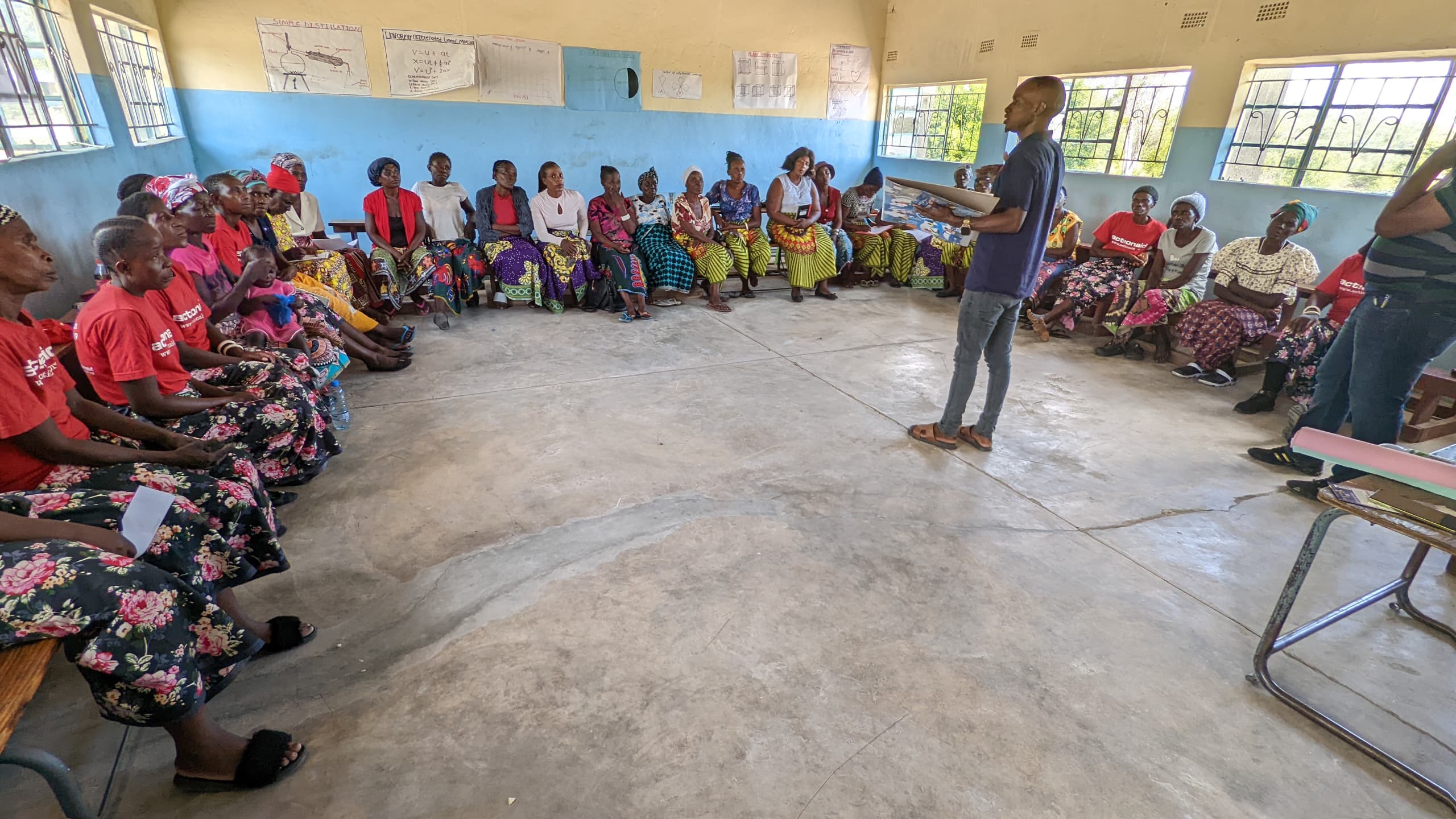
- Systemic, experiential and relational learning
- The strong role of communication
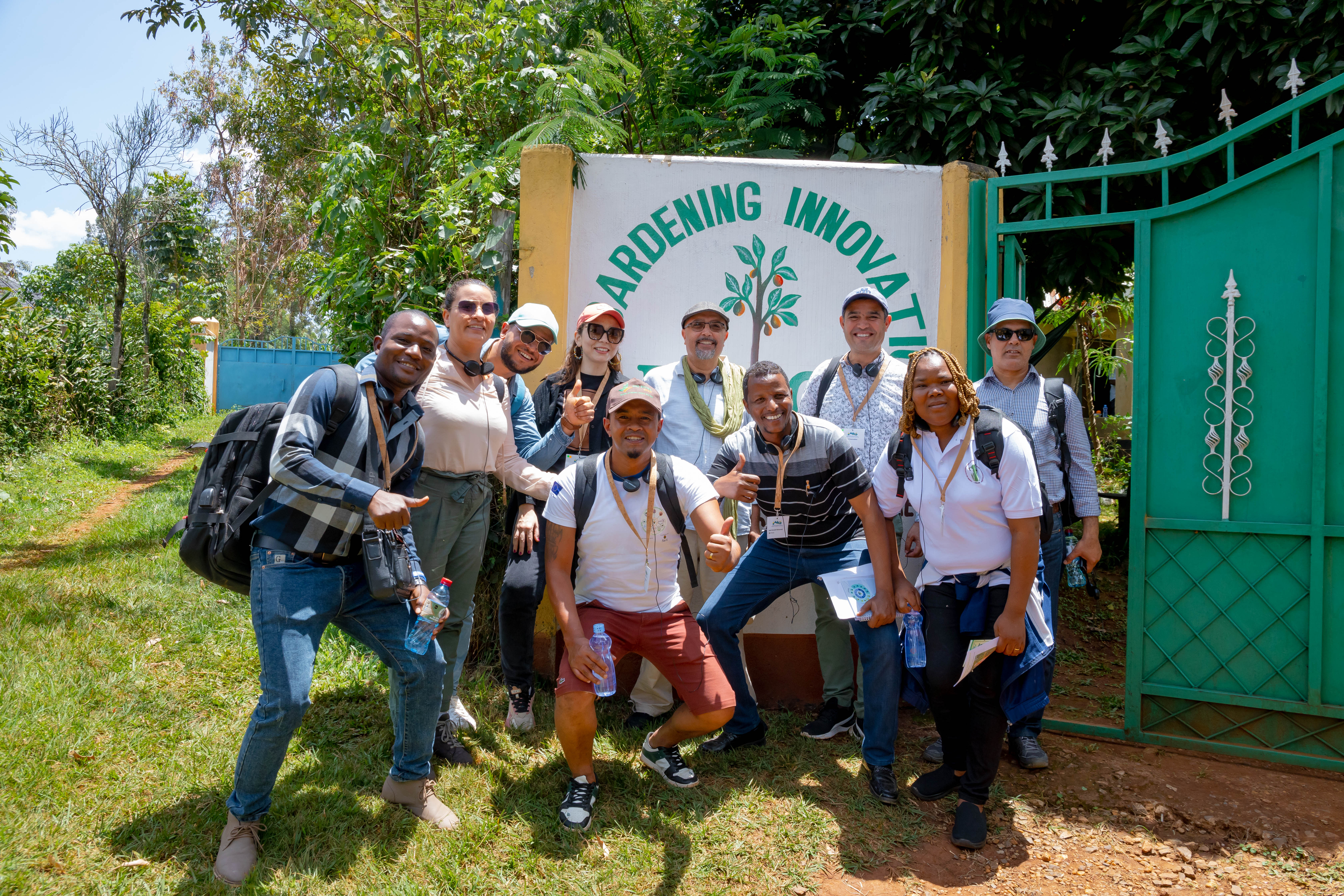
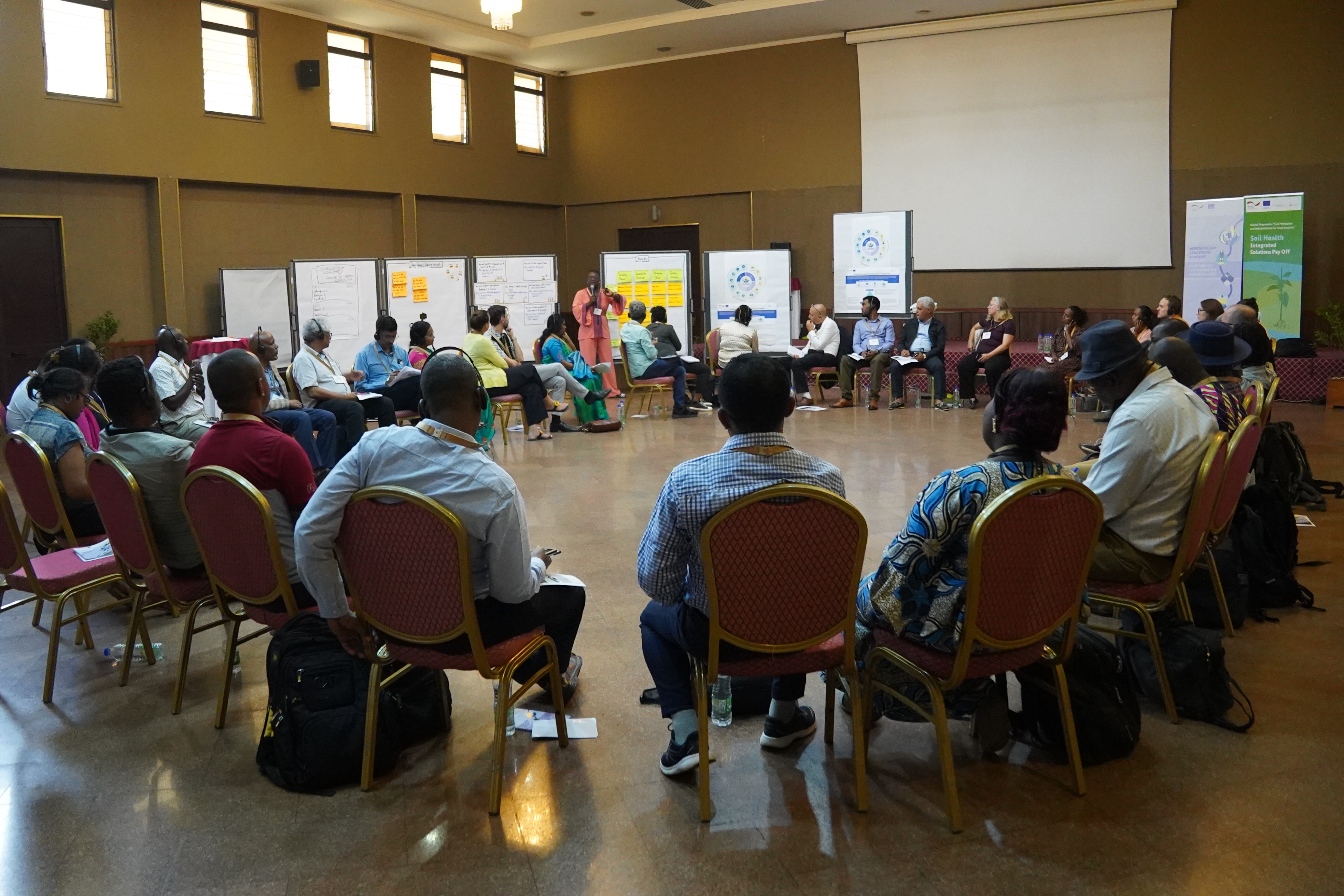
The general structure of the Academy was organised into four phases: Sowing, Growing, Harvesting and Transforming. Various learning formats were implemented throughout these phases, including an online kick-off event, two international in-presence learning events, four international online sessions, and individual workshops for the different country teams. These formats concentrated on the aforementioned levels. While the meetings within the country teams emphasised teamwork at the national level, the international sessions facilitated mutual learning among the global cohort.
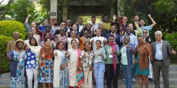
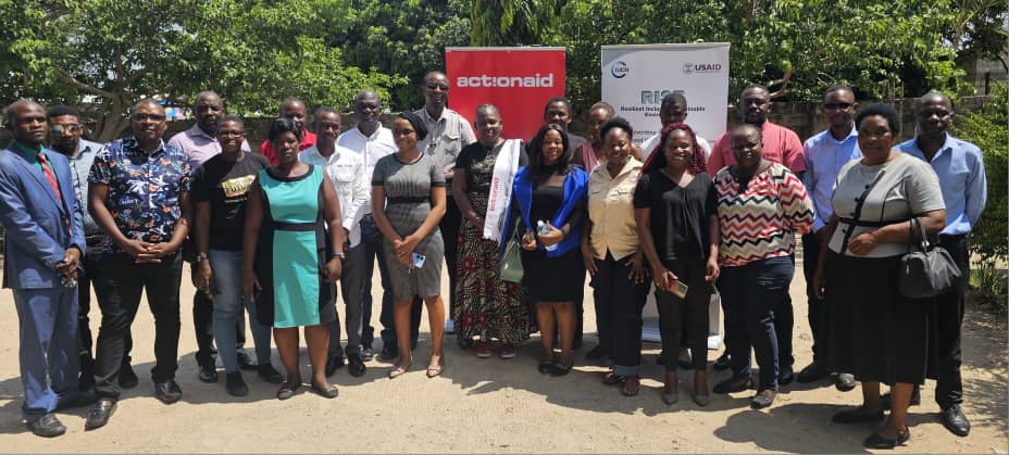
After the concept development phase, the participant selection process commenced. The goal was to assemble a heterogenous group representing diverse stakeholder groups, skills, ages and genders.
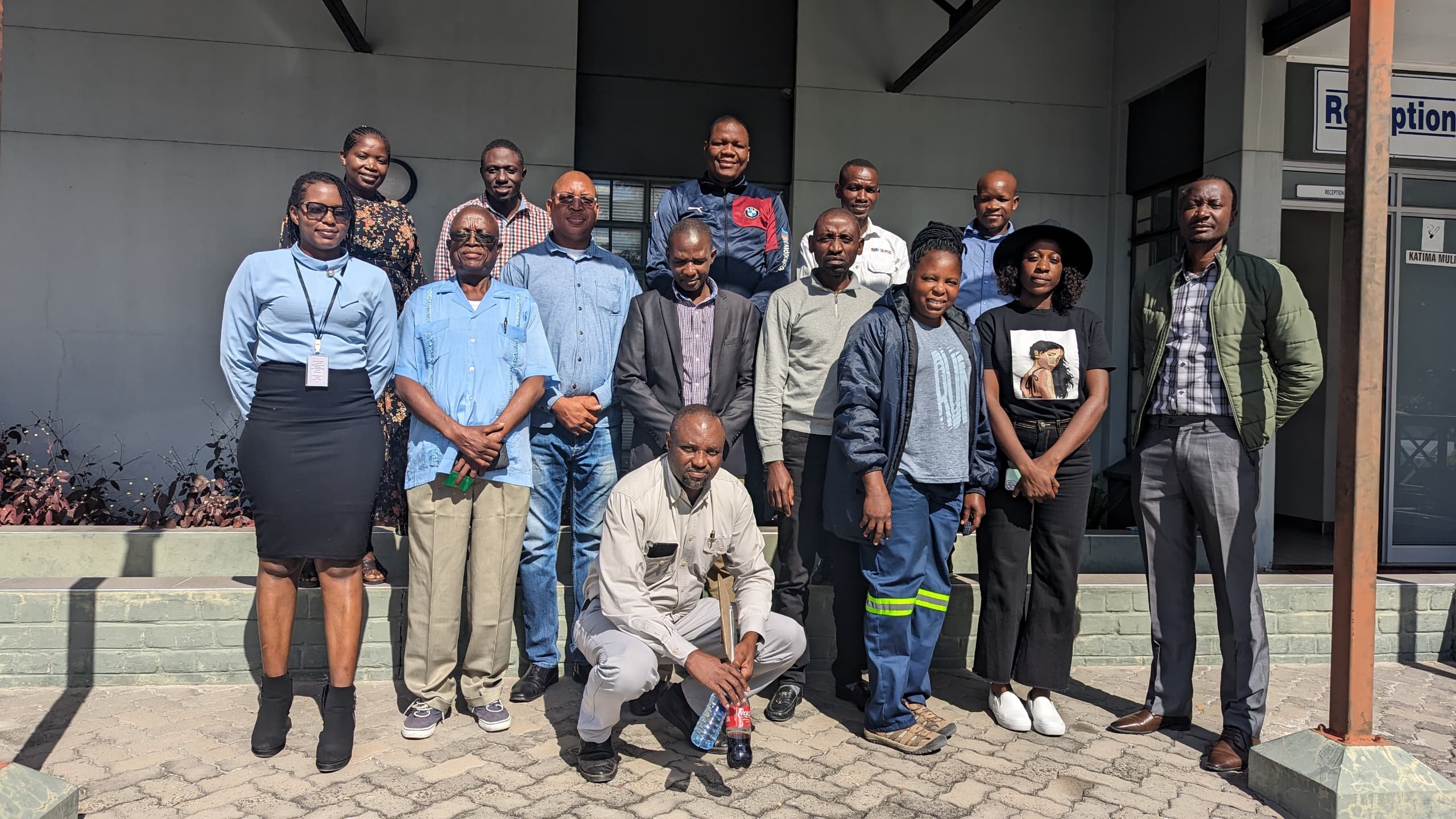
A call for applications was sent out to a pre-defined group of potential participants from agroecology-networks in the respective countries. Following the evaluation of initial applications based on predefined selection criteria, individual selection conversations were conducted to finalise the group composition, with five participants chosen from each country.
In selecting participants, not only individual criteria were considered, but also the need for complementary skills within the group composition. Each participant was expected to contribute something from their personal background that would benefit the group as a whole.
This selection process ensured that different levels of the agricultural and food system were represented - participants included, among others, farmers, founders of agricultural enterprises, university professors, and representatives of ministries of agriculture - as well as ensuring a balanced gender ratio within the group.