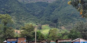
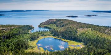
Political will and a mandate for developing a multi-stakeholder initiative to strengthen Inclusive Sustainable Blue Economy in the WIO region
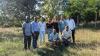
Multi-stakeholder approach
Involving the private sector
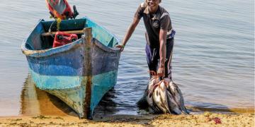
Moving towards implementation and impact on the ground


)")