
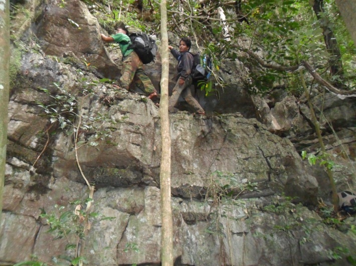
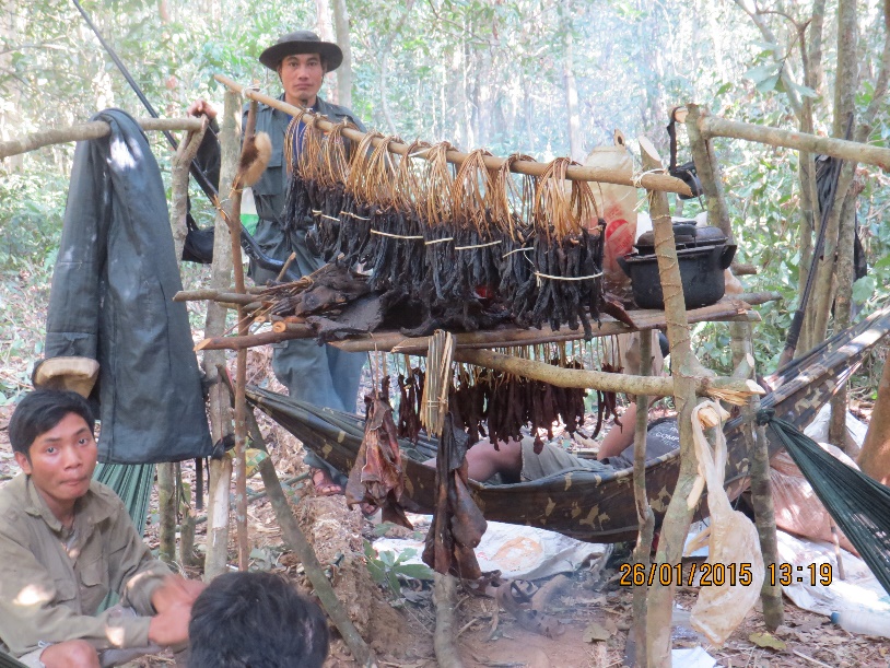
Rangers on the trail, Hin Nam No NPA

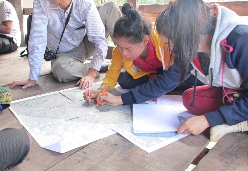
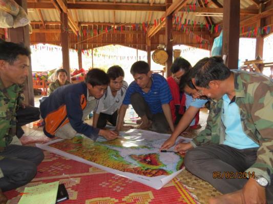
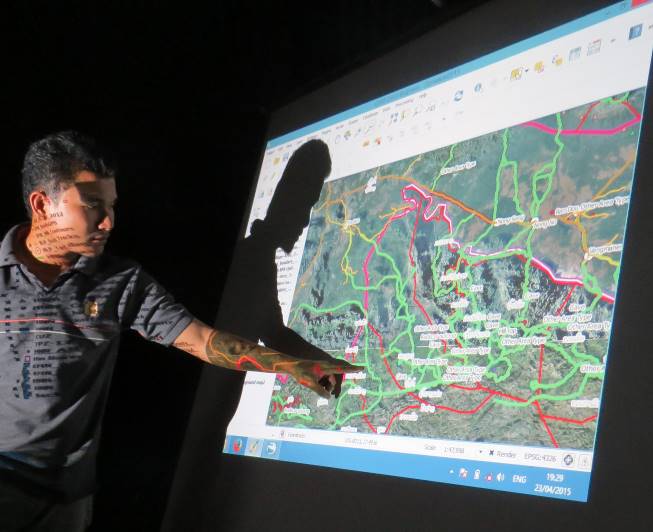
The complex surroundings of Hin Nam No National Protected Area require the PA management unit to co-manage the area with local villagers. This requires a common understanding of the area. The building blocks of village trail mapping, village ranger system, SMART data collection, participatory zoning and scientific biodiversity monitoring, help to gather information, process the data and create zoning and regulations to effectively manage the park by involving villagers and increase PA manpower with village rangers.

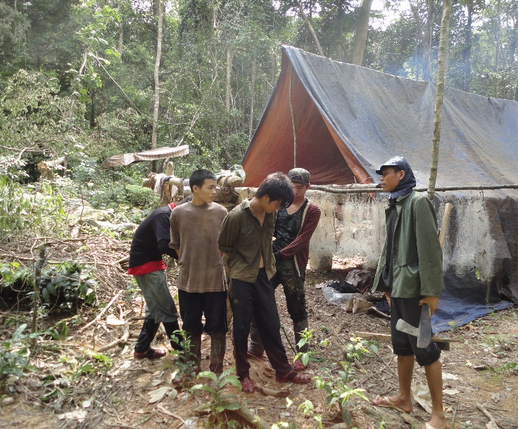
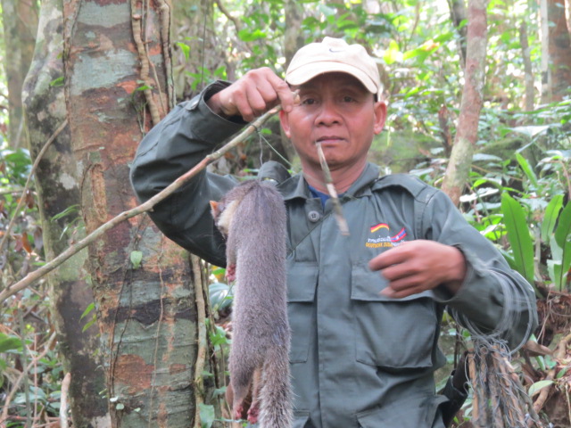
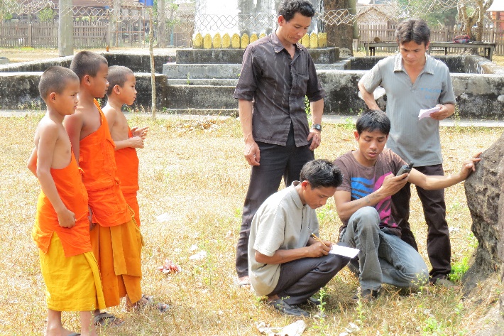
1) Sense of pride of villagers and village rangers because they have the right and obligation to protect the area from outsiders. This has resulted in ownership of the protection objectives. Now even village rangers ask for support from the management to help keep their own neighbors from breaking commonly agreed laws as they cannot uphold the law against village authorities or friends. 2) Diversified income outside agriculture or livestock rearing for the village rangers without their becoming dependent and hereby providing cost effective patrolling without the need for ranger stations and their maintenance. 3) Improved management as local names are known and data on wildlife observations and threats are gathered. The value of the gathered data has resulted in the Head of the Provincial Office of Natural Resources and Environment asking for regular threat updates and anti-poaching trips by combined departments.