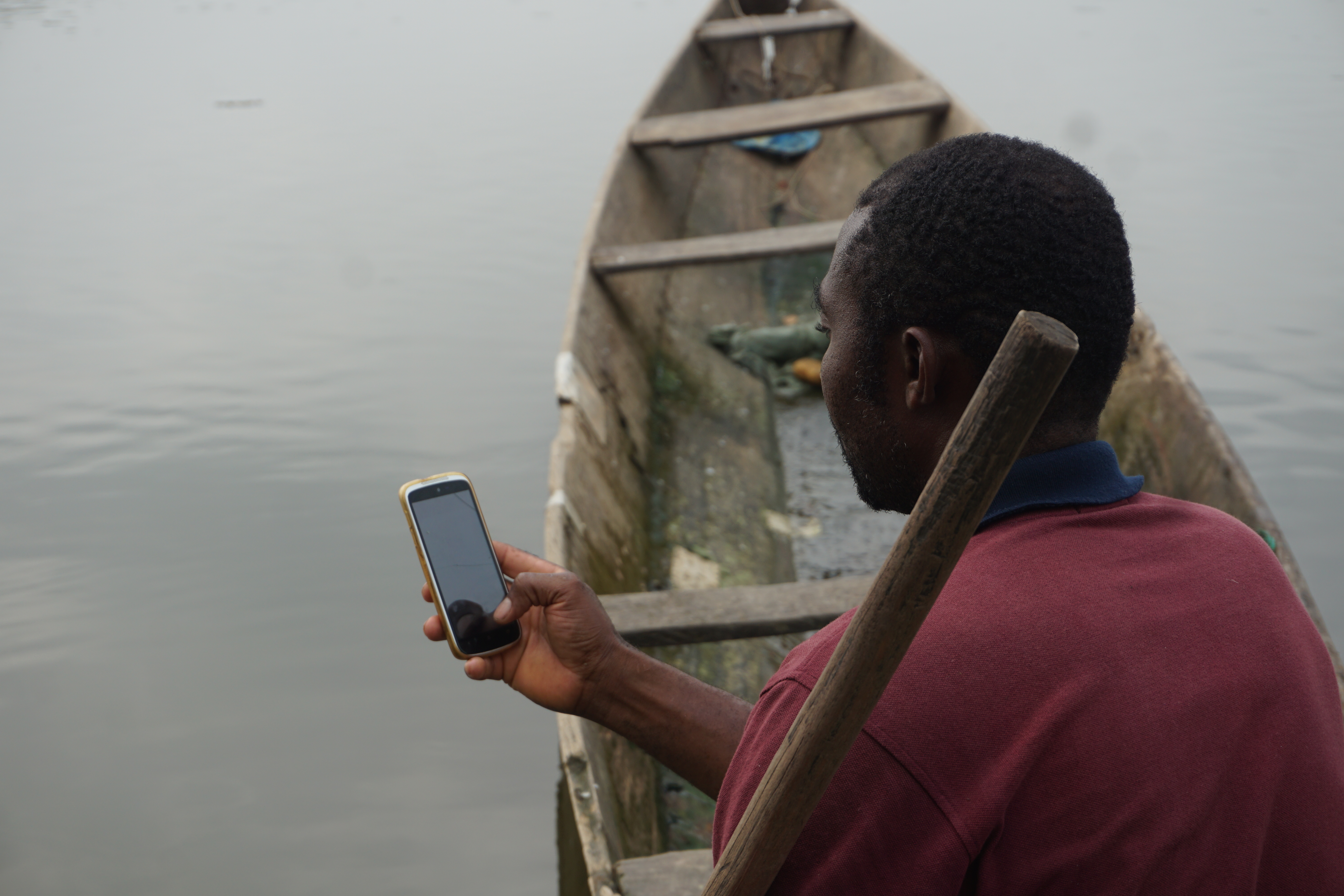
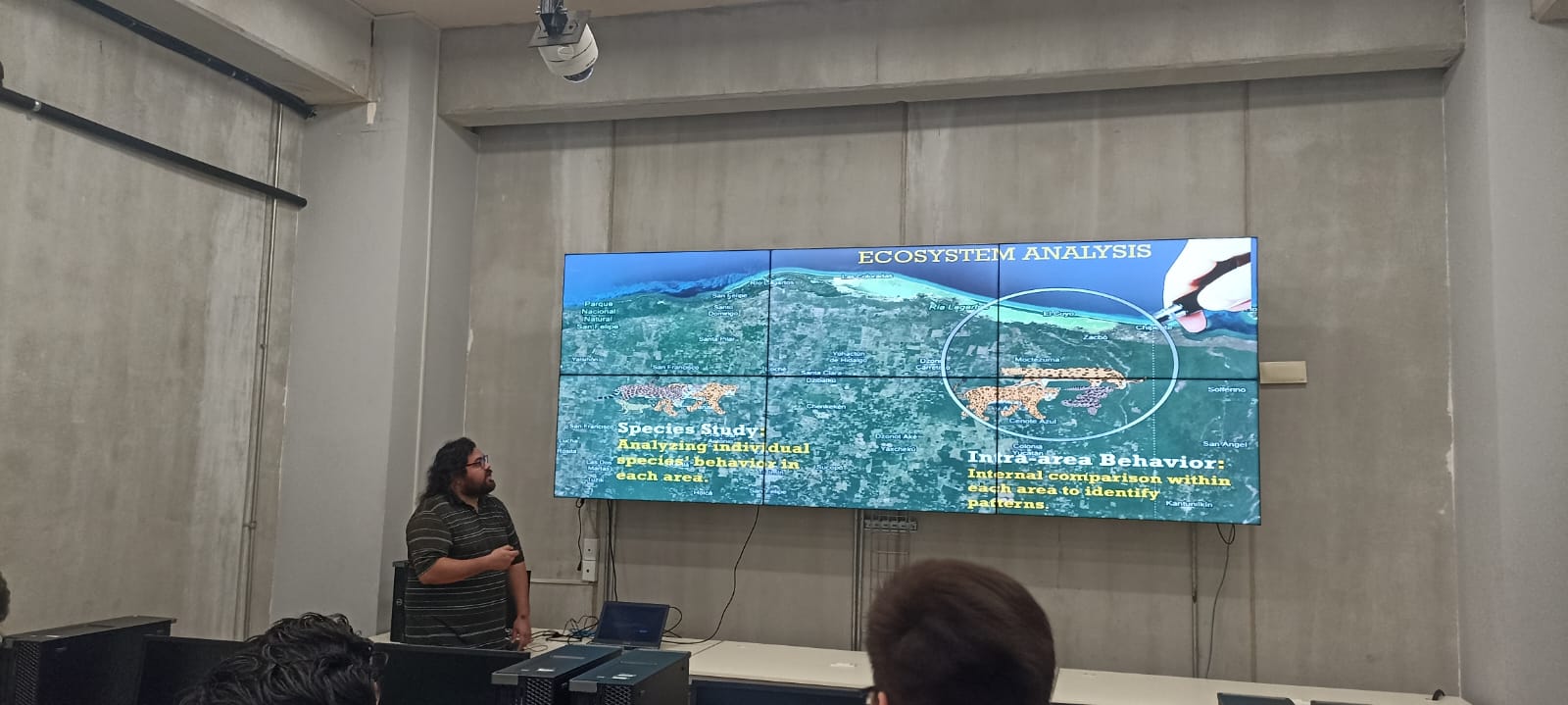
Conserving ecosystems is key to curbing climate change, and maintaining ecosystem services (GBF target 11), which are closely linked to over 50% of the world’s GDP. Over 1 million species face the threat of extinction this century; however, selecting which areas to conserve is challenging with the existing data gap, which is biased towards observations in the global north. Increasing the amount of biodiversity data in the Global South is critical in the conservation of endangered species, found at high density in biodiversity hotspots in the Global South. Amphibians are ideal for acoustic identification due to their diverse vocalizations and are crucial ecosystem indicators (Estes-Zumpf et al., 2022), with over 40% of species at risk of extinction (Cañas et al., 2023). Increasing labeled data for the more than 7,000 amphibian species worldwide would enhance conservation efforts and reduce knowledge gaps in vulnerable ecosystems. By using a citizen science platform to aid in the mitigation of biodiversity loss, we help establish local environmental stewardship of these critical habitats (GBF Target 20).
Other citizen apps have shown the potential that citizen science has on mitigating biodiversity loss. eBird, the largest citizen science project related to biodiversity, has 100 million bird observations from users around the world. These observations help to "document the distribution, abundance, habitat use and bird trends through collected species list, within a simple scientific framework." (Sánchez-Clavijo et. al., 2024).
iNaturalist, another citizen science app, that uses computer vision algorithms for species identification, has also proven successful in mitigating biodiversity loss. To date, the app has over 200,000,000 observations, with 6 million observations per month, globally. On iNaturalist, research-grade observations are shared with GBIF, which in turn uses that knowledge for policy decisions, research, and community building (GBIF, 2023).
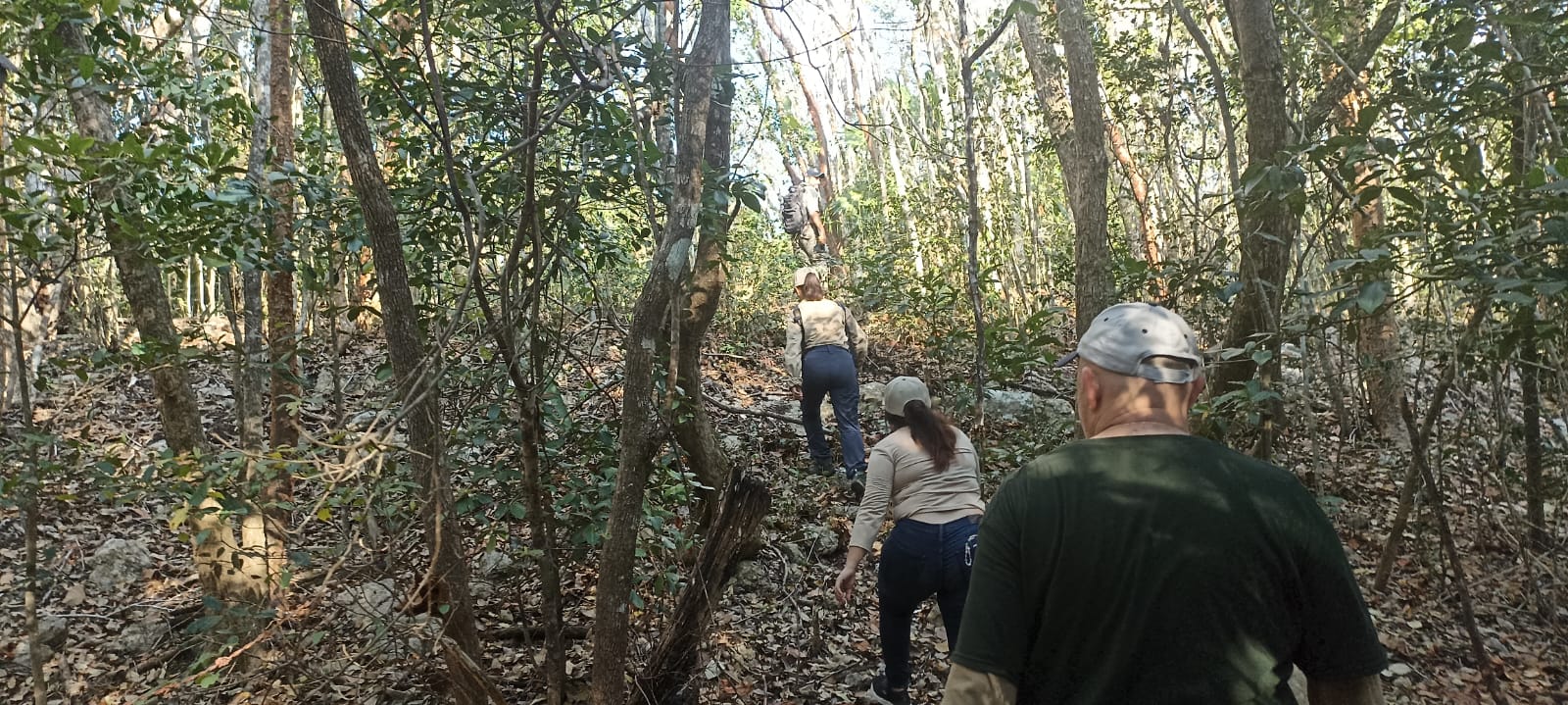
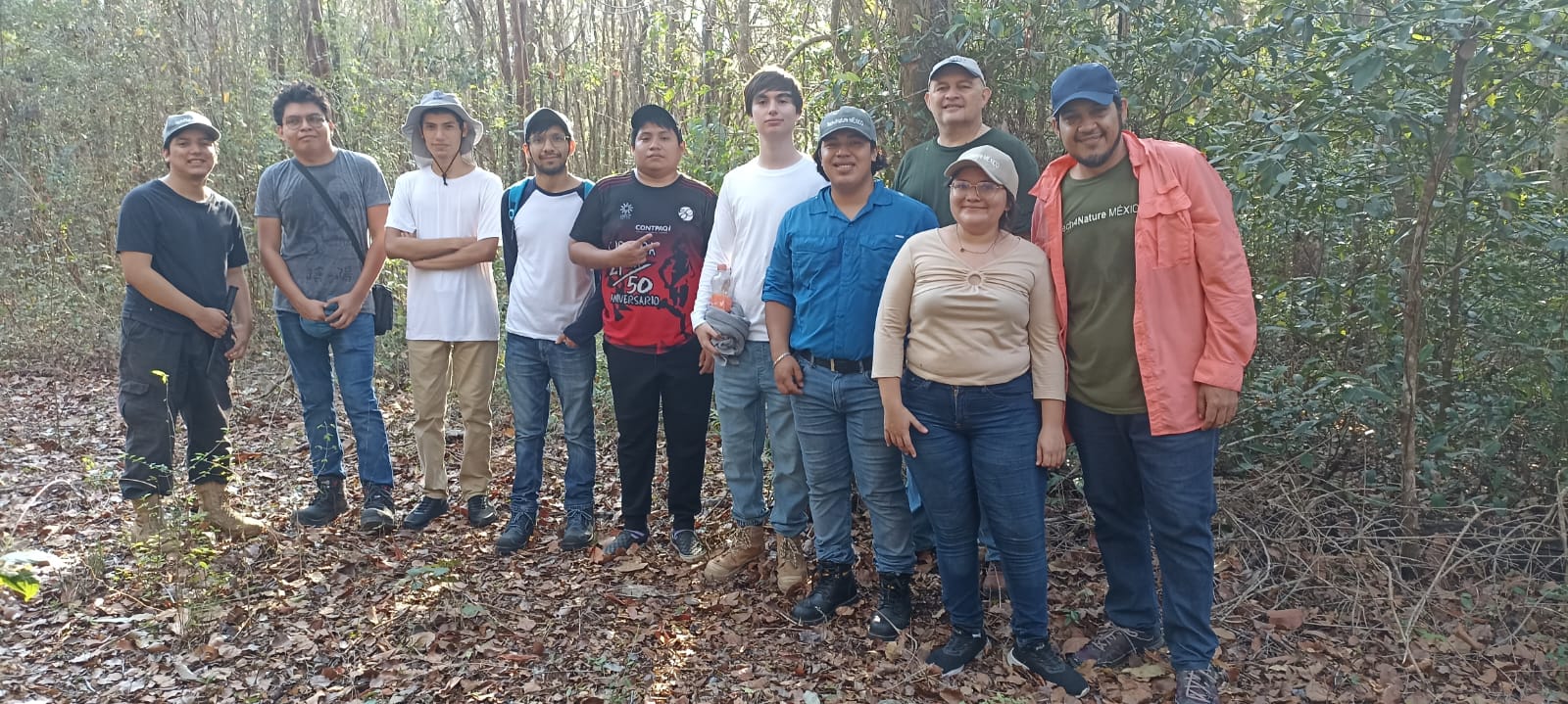
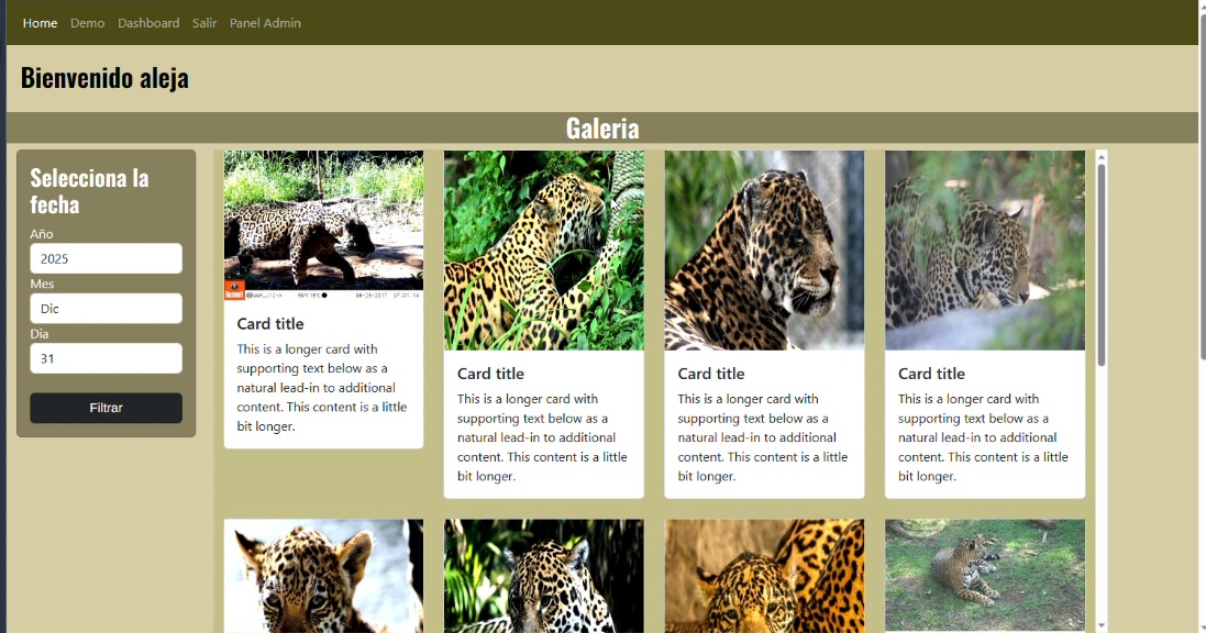
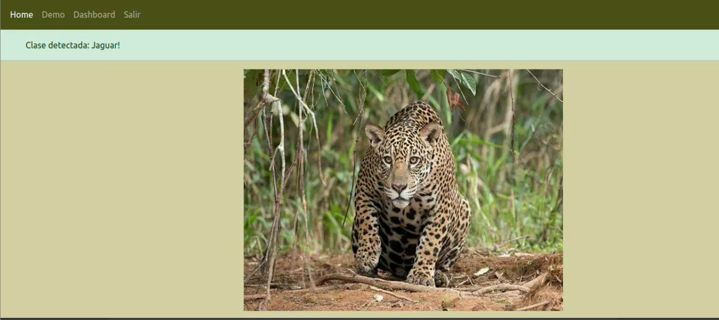
Currently, our app identifies 71 species of frogs and toads, worldwide. Though many of them are identified as least concern (LC) under the IUCN, we do have one IUCN endangered species, the Southern Bell Frog (Ranoidea raniformis). This lack of threatened species included, underscores the need for diverse practitioners to participate in bioacoustic ecological monitoring. Increasing data points on vulnerable species can serve to inform policy decisions using data-driven insights. Local communities and Indigenous Peoples will be a key asset in increasing the number of species included in the app, as their local knowledge allows us to track species in remote regions.
We initially set a goal to decrease data gaps in the Global South. However, getting access to enough calls for rare, cryptic, and endangered species in the Global South to train our model proved to be challenging. Therefore, to improve model performance, we turned our attention to as many species as we could tackle, worldwide. Getting users engaged worldwide will lead to more recordings in data-poor regions like the Global South, allowing us to retrain our model in the future with increased data on endangered, rare, and cryptic species.
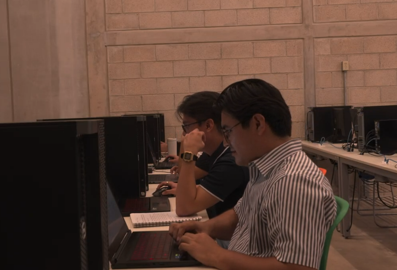
This user engagement perfectly aligns with multiple targets, the most evident one being GBF target 20: Strengthen Capacity-Building, Technology Transfer, and Scientific and Technical Cooperation for Biodiversity. But other targets are key in this building block: by increasing the data points, we will be able to identify invasive alien species, addressing GBF Target 6, as well as protecting wild species from illegal trade, by obscuring their location from users. This is aligned with GBF Target 5, which seeks to "Ensure Sustainable, Safe and Legal Harvesting and Trade of Wild Species."