Scoping Mission and Preliminary Study to Identify and Select Potential Urban EbA Measures in Dong Hoi City
In order to identify the most feasable urban EbA measures with the highest potential to pilot in Dong Hoi city, the first step was to carry out a scoping mission and a preliminary study to collect and analyse data to provide a scientific basis for the consultation process. The objective was to provide a detailed review and analysis of previous studies and information gathered through structured stakeholder engagement via interviews, focus group discussions and stakeholder consultations for a participatory selection of pilot measures with relevant partners.
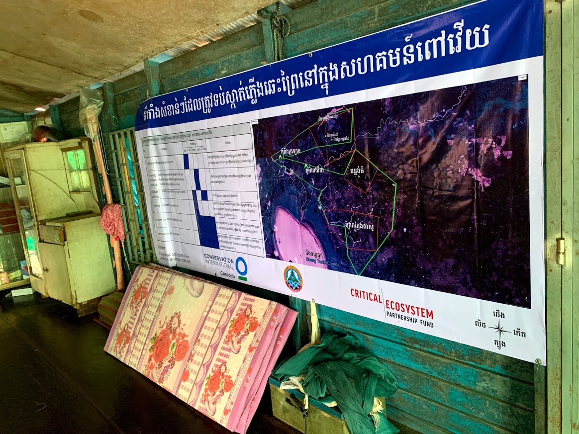
The scoping mission and the preliminary study were conducted to provide further insight into the specific vulnerabilities and the possible adaptation responses for Dong Hoi city. The findings were used to identify a short list of urban EbA measures as well as any outstanding knowledge gaps and/or information needs for the next steps.
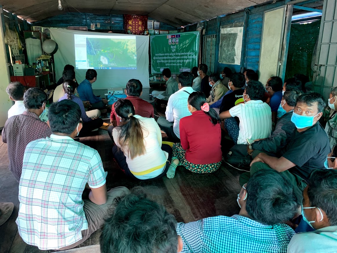
A multi-stakeholder engagement event was held to promote an open dialogue between stakeholders to discuss key issues related to climate impacts and local vulnerabilities. This knowledge exchange among key stakeholders strengthened relationships among key partners, enhanced partners’ understanding of urban EbA measures as well as generated knowledge to fill information and data gaps identified in the preliminary study.
Selection Process
Analysis: The identification, development and assessment of the selected urban EbA measures was based on a functionalistic approach in which the cause and effect of the main hazards compiled during the preliminary assessment and the scoping mission provided the basis for the revision of final measures. These measures, based on the causes of the key problems and their linkages to current and future climate hazards, were meant to take into account short-term and long-term considerations as much as possible.
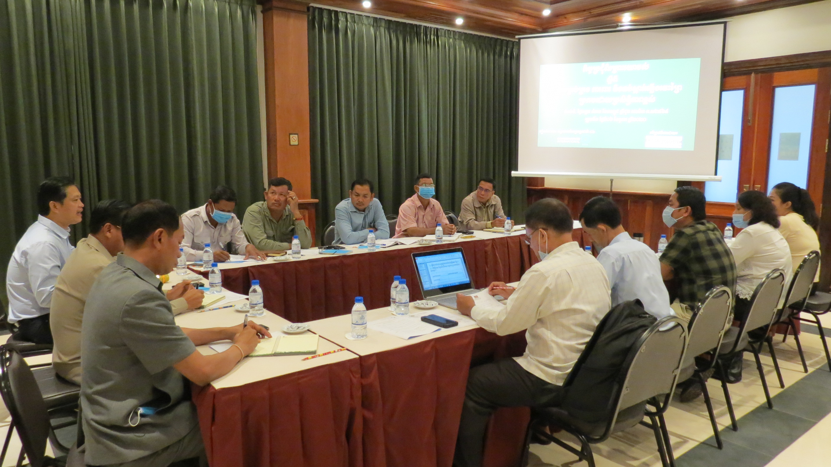
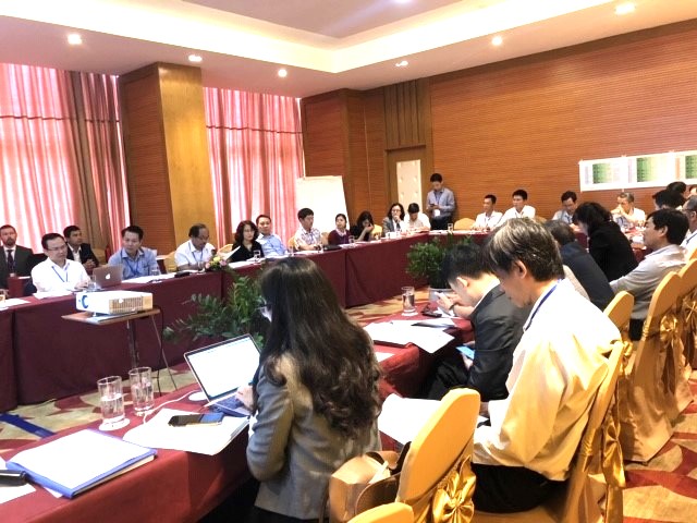
Selection: The selection criteria were based on the Friends of Ecosystem-based Adaptation (FEBA) Assessment Framework for EbA Quality Standards. It was used in a participatory selection exercise during the second multi-stakeholder event and during consultation with key partners. The use of the framework provided a scientific and transparent selection process, based on an internationally endorsed tool.
The final measures, based on this selection process, was defined as: 1) Cau Rao EbA River Park (water retention areas), 2) Rain Gardens (green wall and green roof) and 3) Water Flow Management (SUDS).