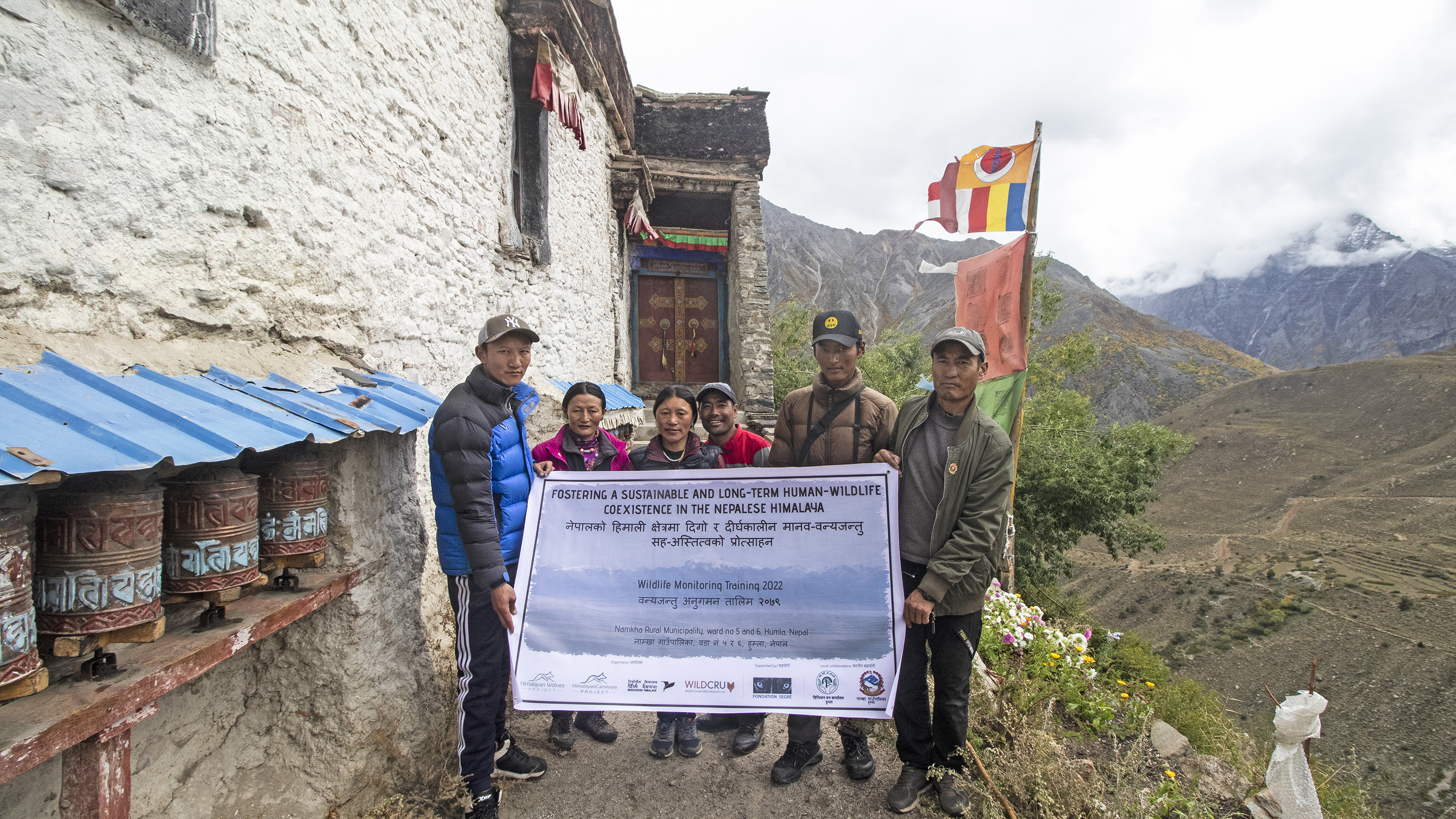
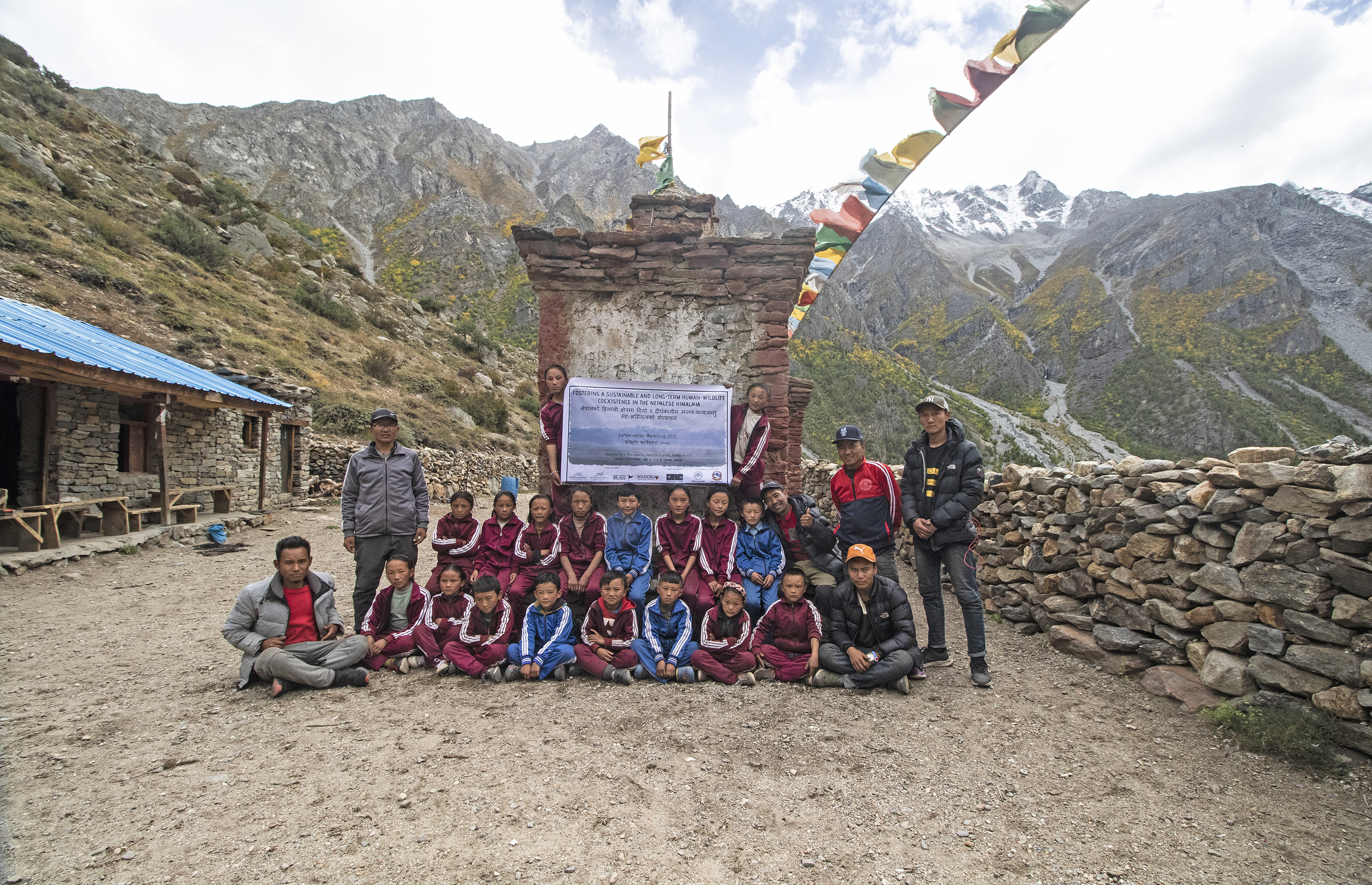
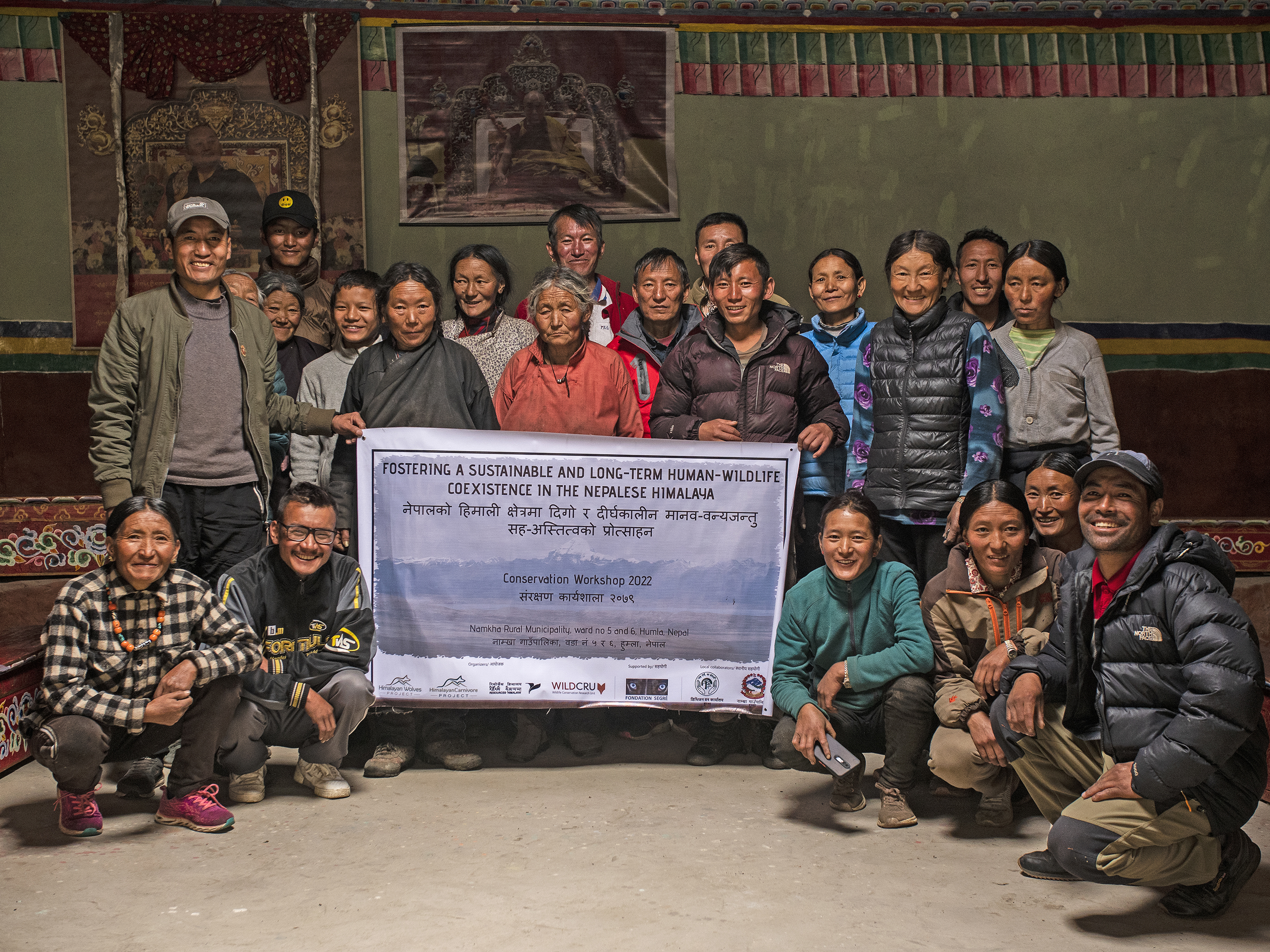
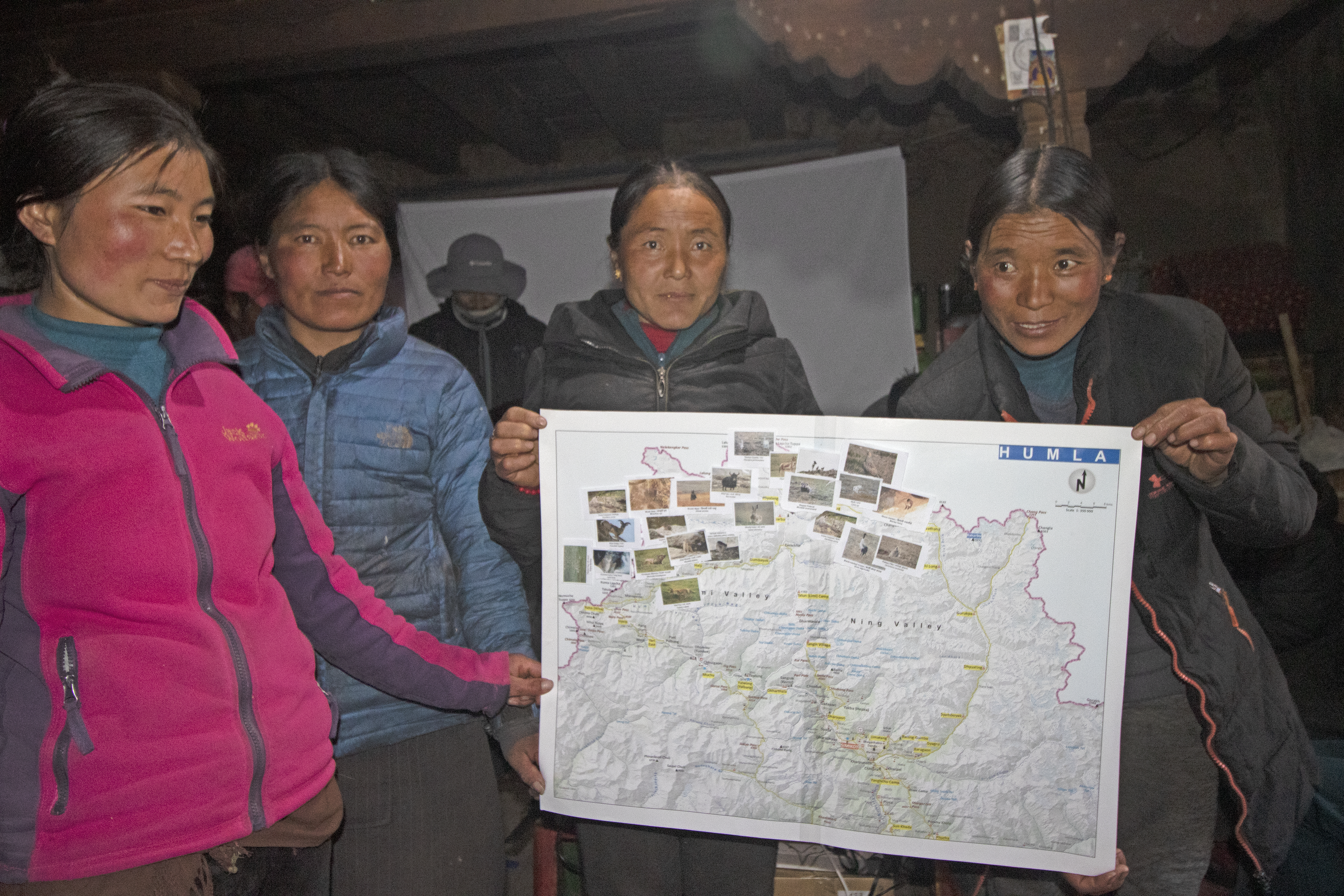
The creation of Community Conservation Groups (CCG) has been fundamental in building local capacity for effective conservation of the Himalayan wolf. These groups are composed entirely of local residents who are trained to participate actively in monitoring and conservation activities. Periodic workshops have been conducted to provide training in species monitoring, data collection, and camera trap management. Through these workshops, local participants gain valuable skills that enable them to contribute to the long-term success of the conservation project.
Community engagement and knowledge transfer are done by periodical workshops and follow-up on monitoring results using an audiovisual presentation. No remote digital platform can be used by local communities so far as there is no internet connection in the territory. The use of biodiversity credits as financial support for this block is currently under study. With this block we address the GBF targets 20, 21 and 22.
A key enabling factor is the active involvement of local residents in the creation and development of CCG. By providing training and ownership, these communities are empowered to become stewards of conservation efforts.
The workshops are tailored to meet local needs, and regular follow-ups ensure that knowledge is retained and applied effectively.
Additionally, the financial benefits generated through their participation in the project foster greater commitment.
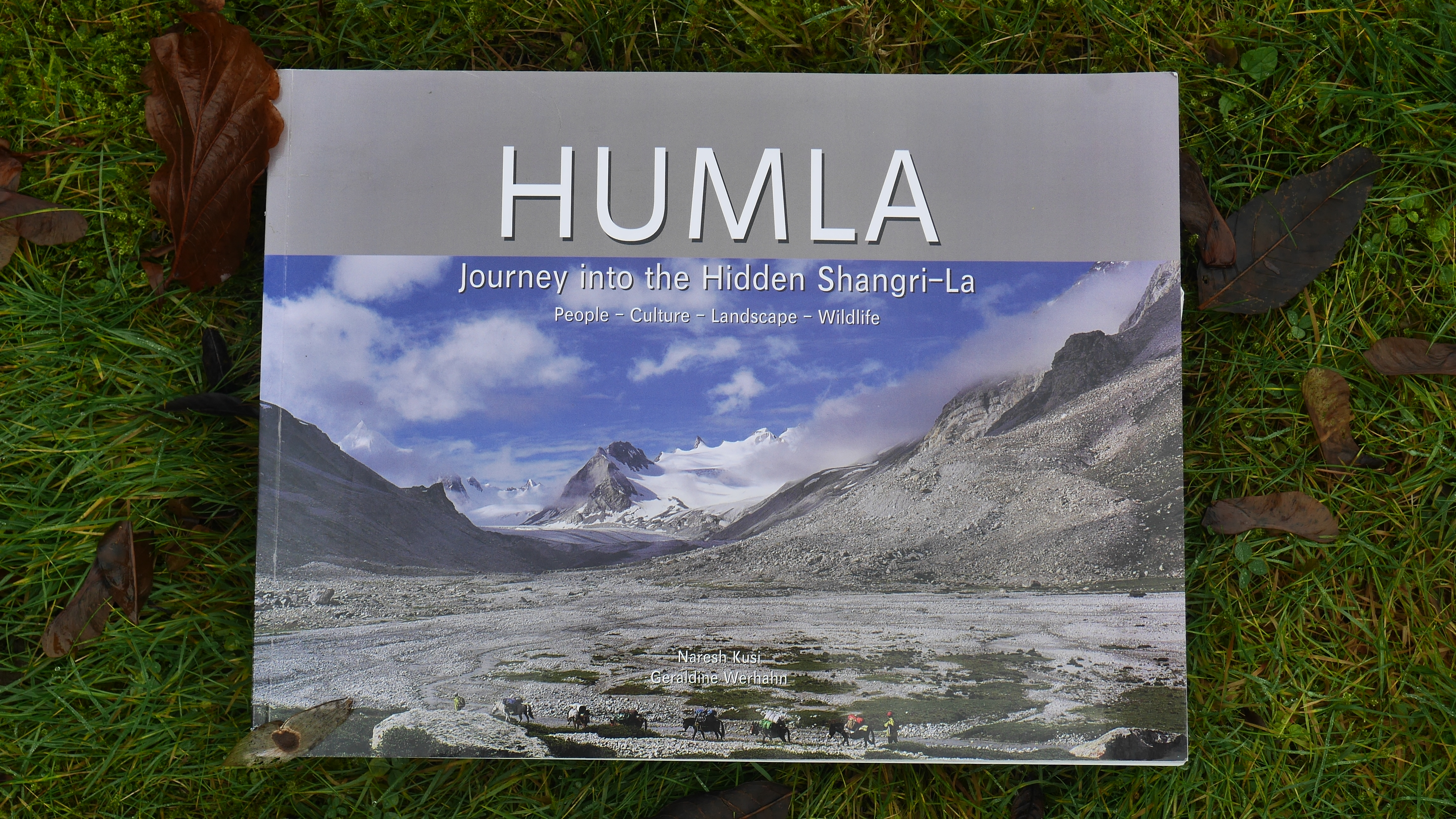
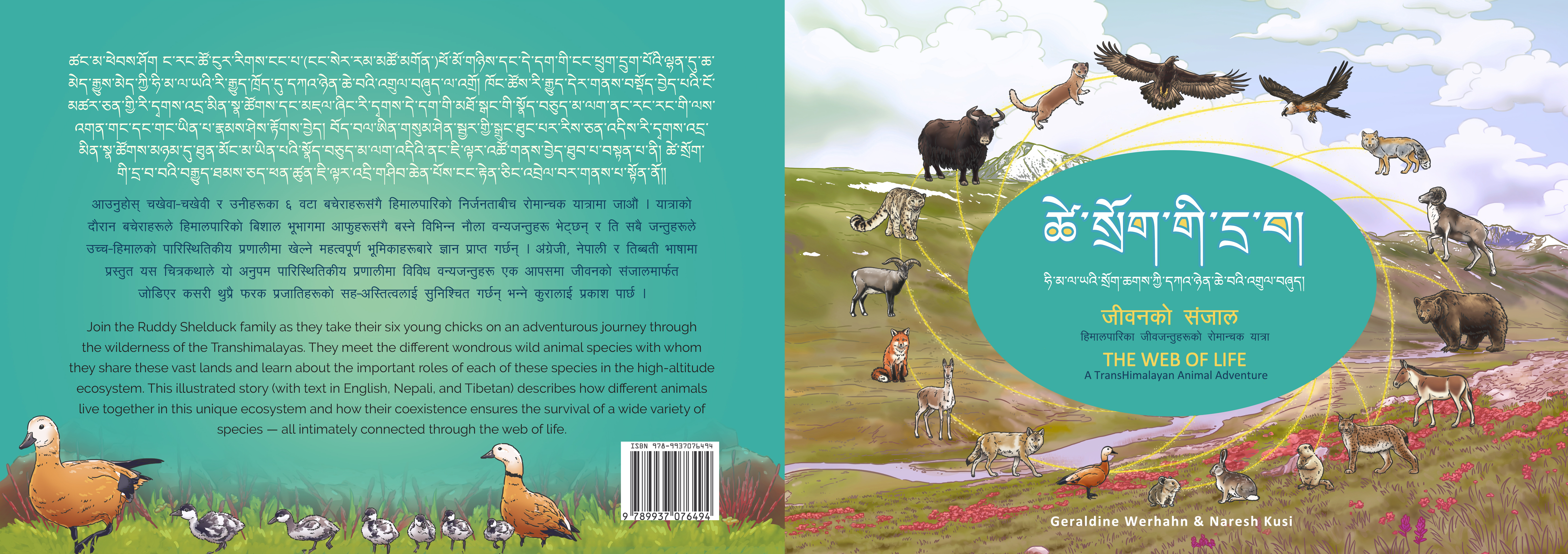
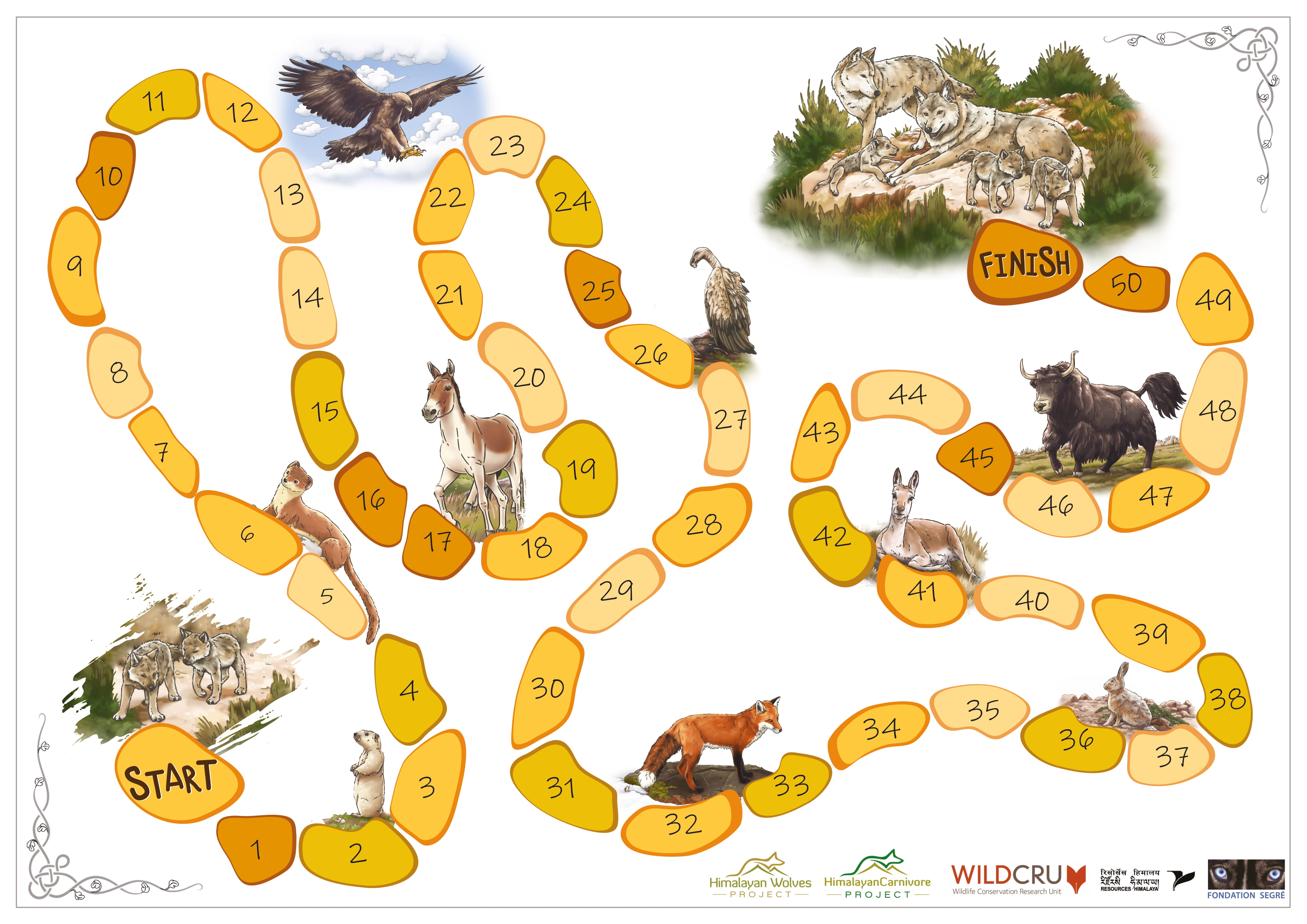
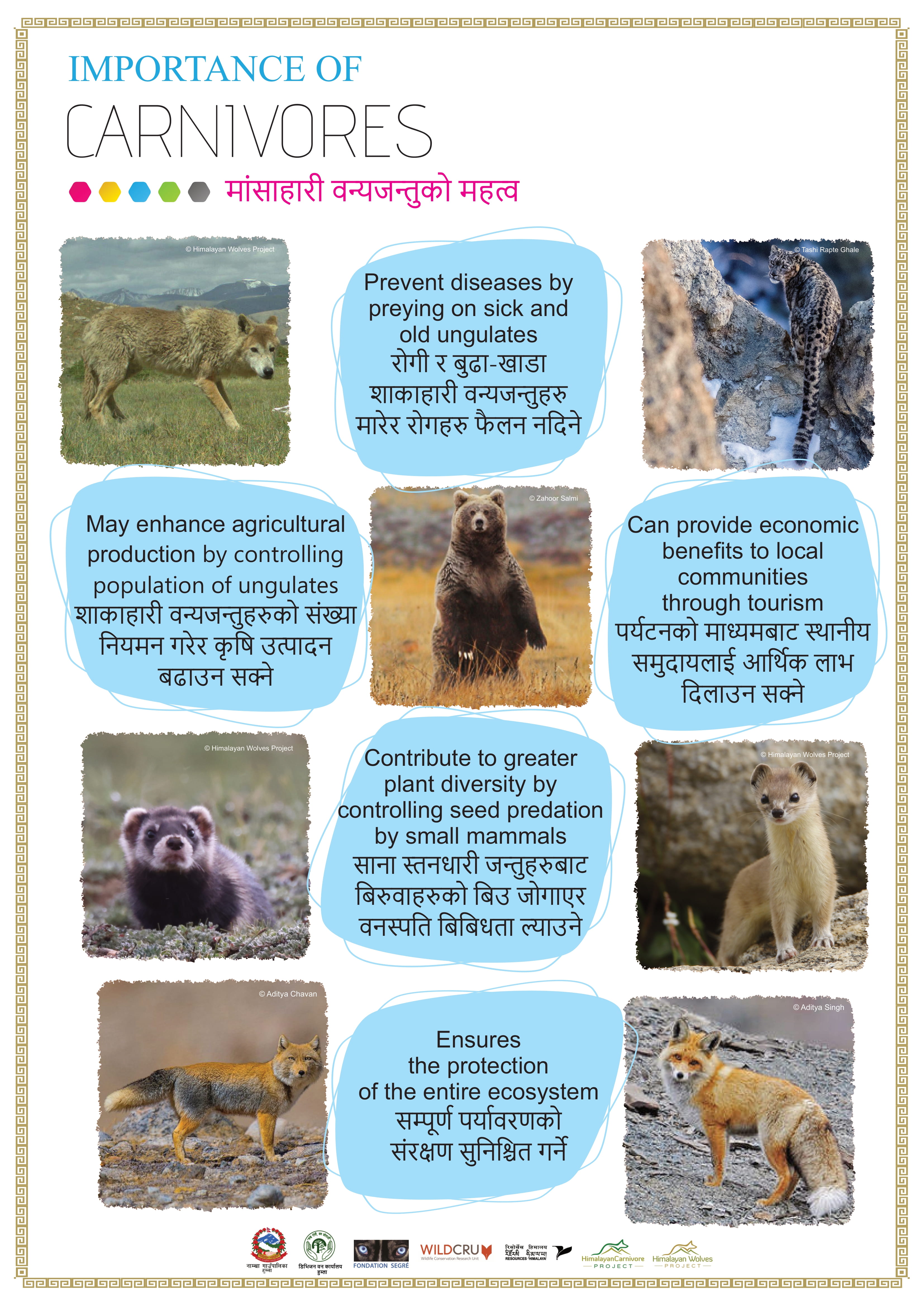
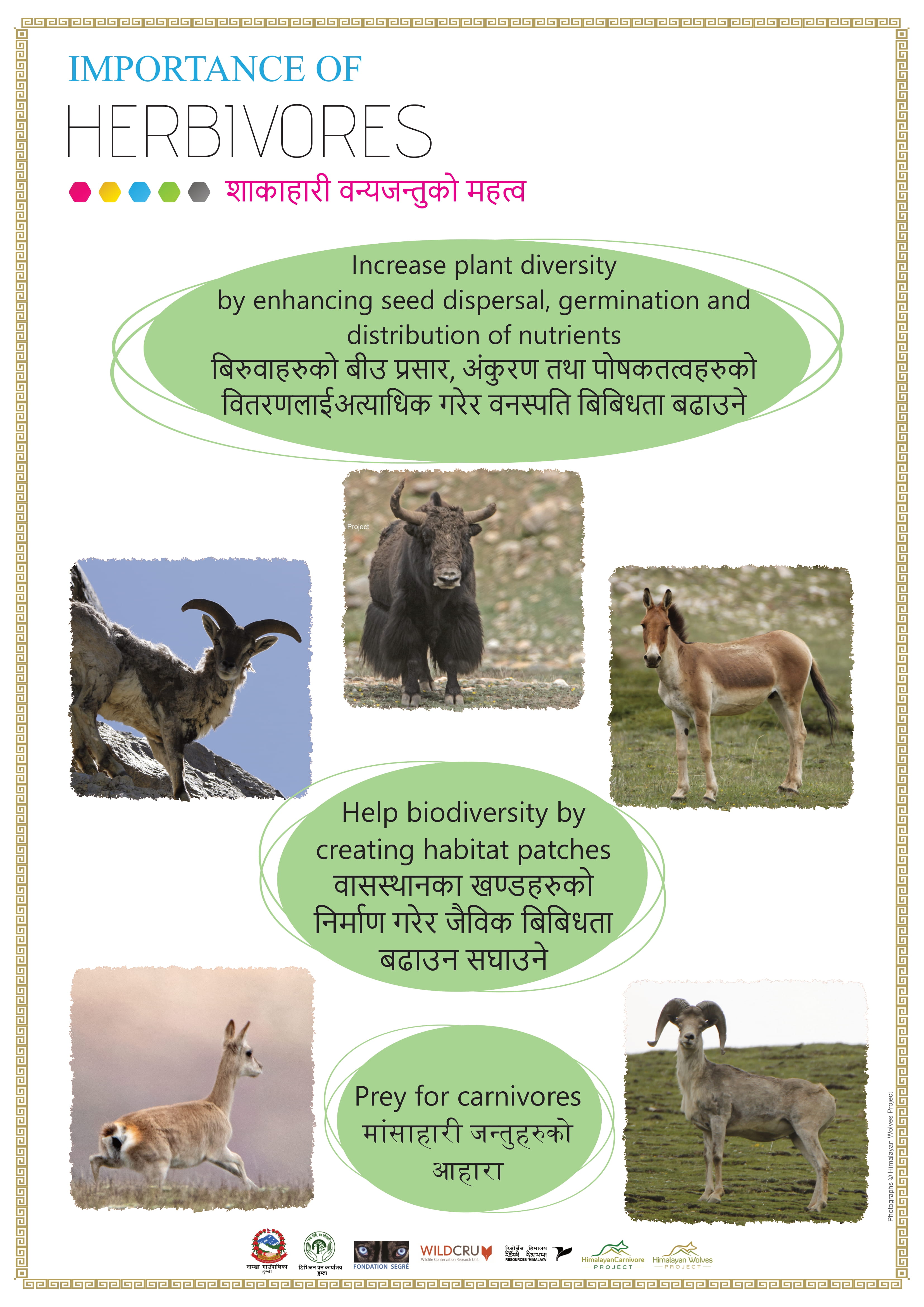
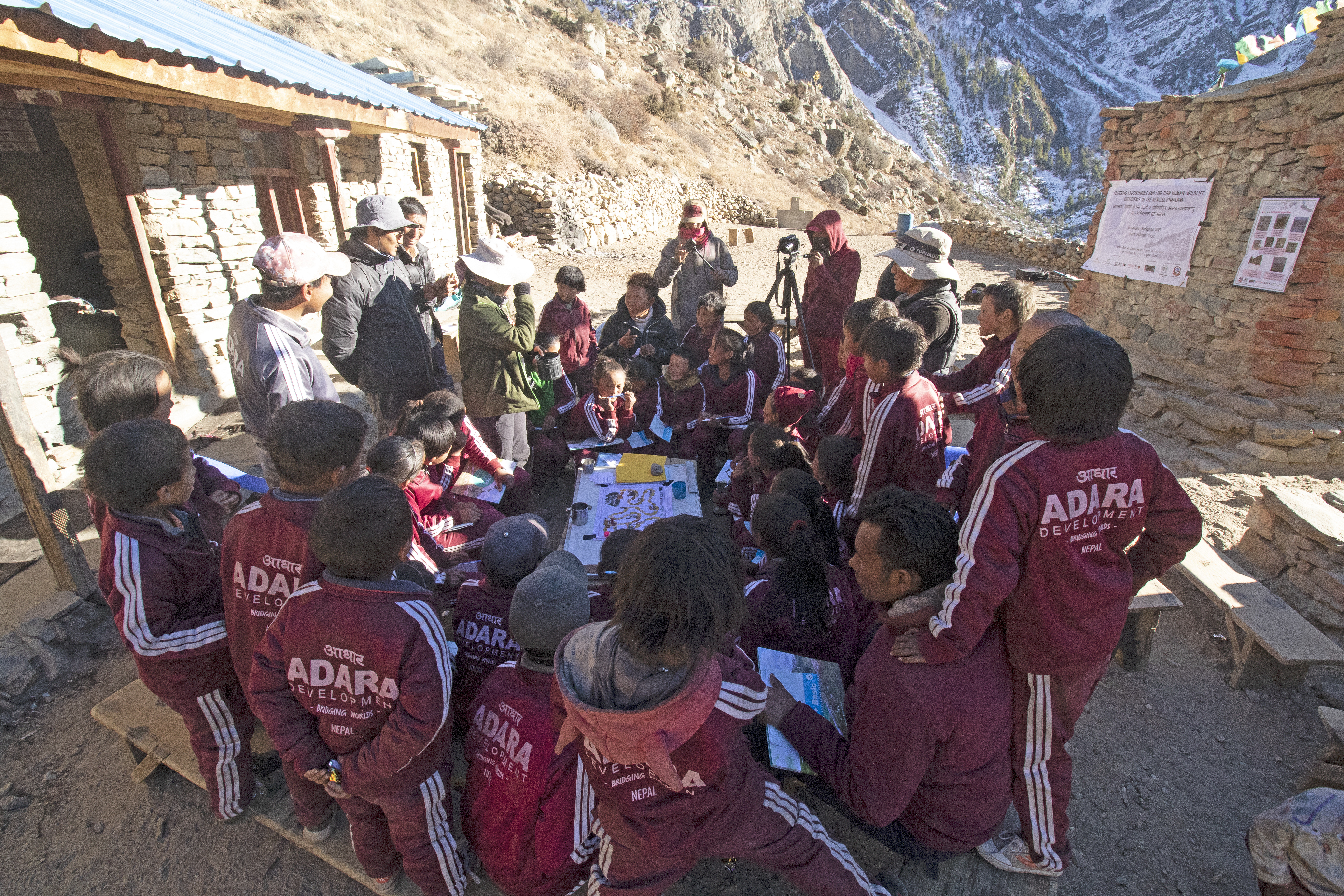
Regular workshops and educational outreach, including the creation of the children’s book The Web of Life: A Transhimalayan Animal Adventure and self-designed conservation games, increased awareness about the role of top predators in the ecosystem.