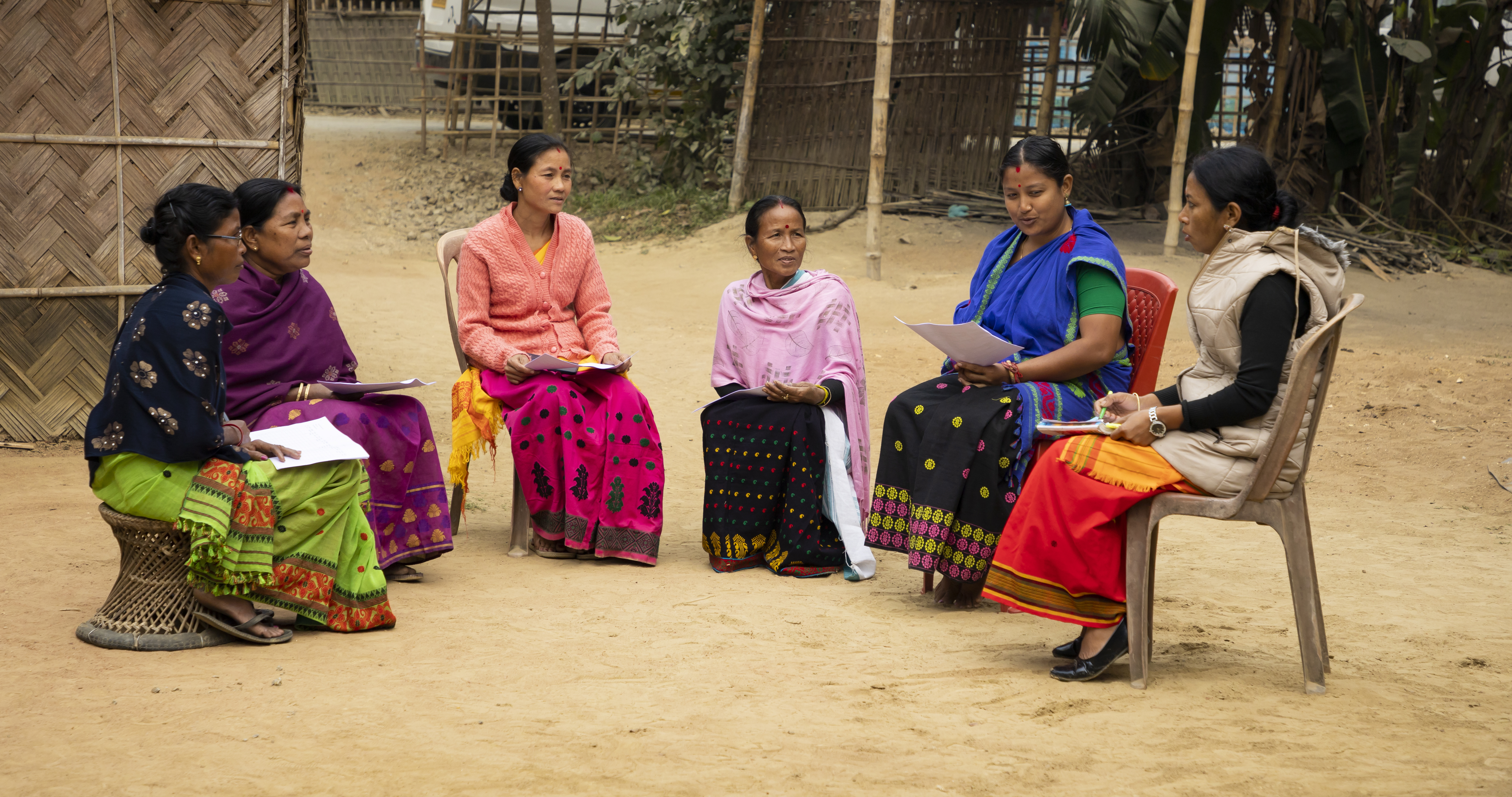
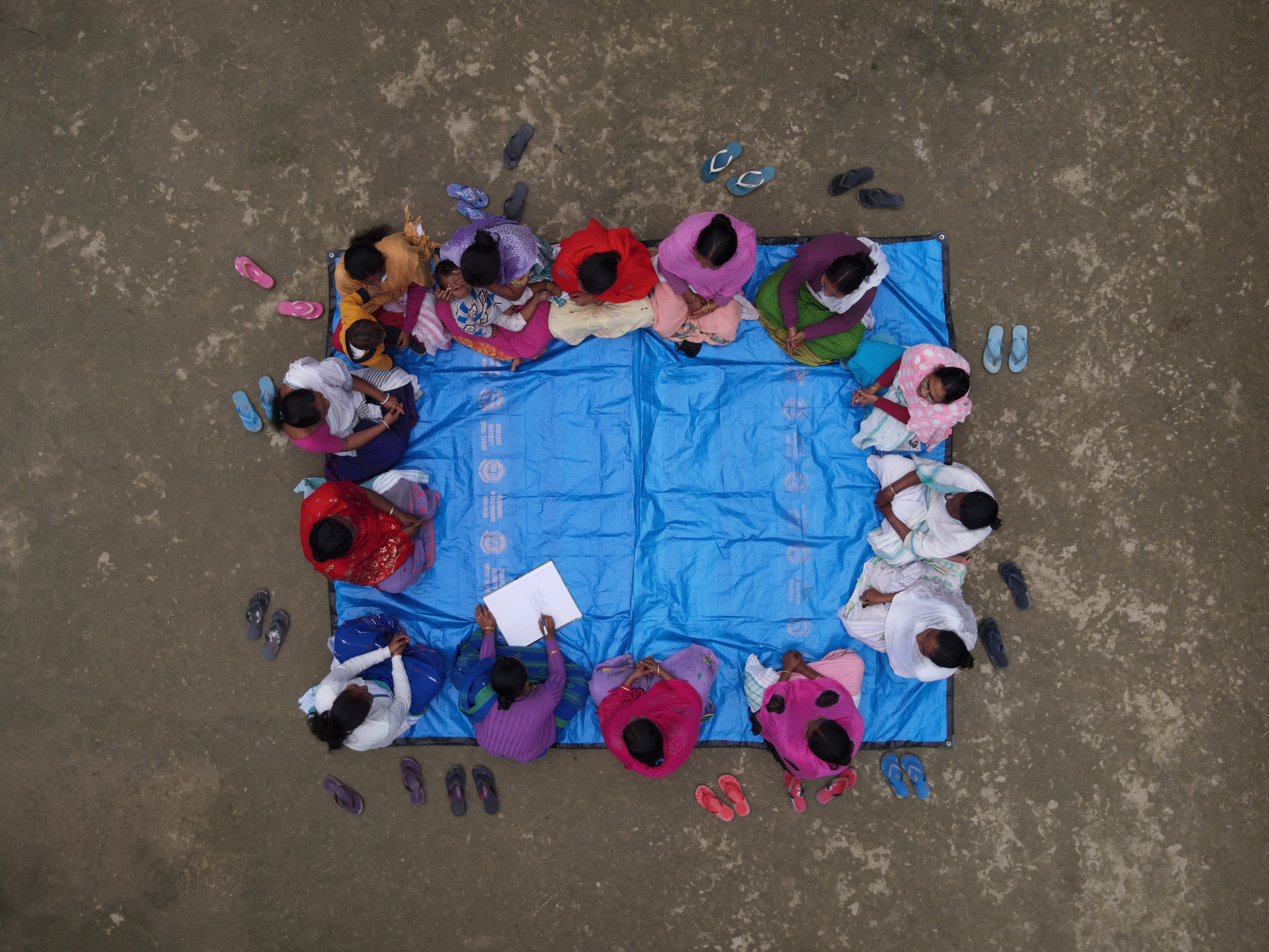
The Community Resource Person (CRP) model in India is a community-driven approach to development and empowerment, particularly in rural areas. It involves identifying and training individuals from local communities to act as extension service providers, advisers, and mobilizers to address various socio-economic challenges and promote sustainable development.
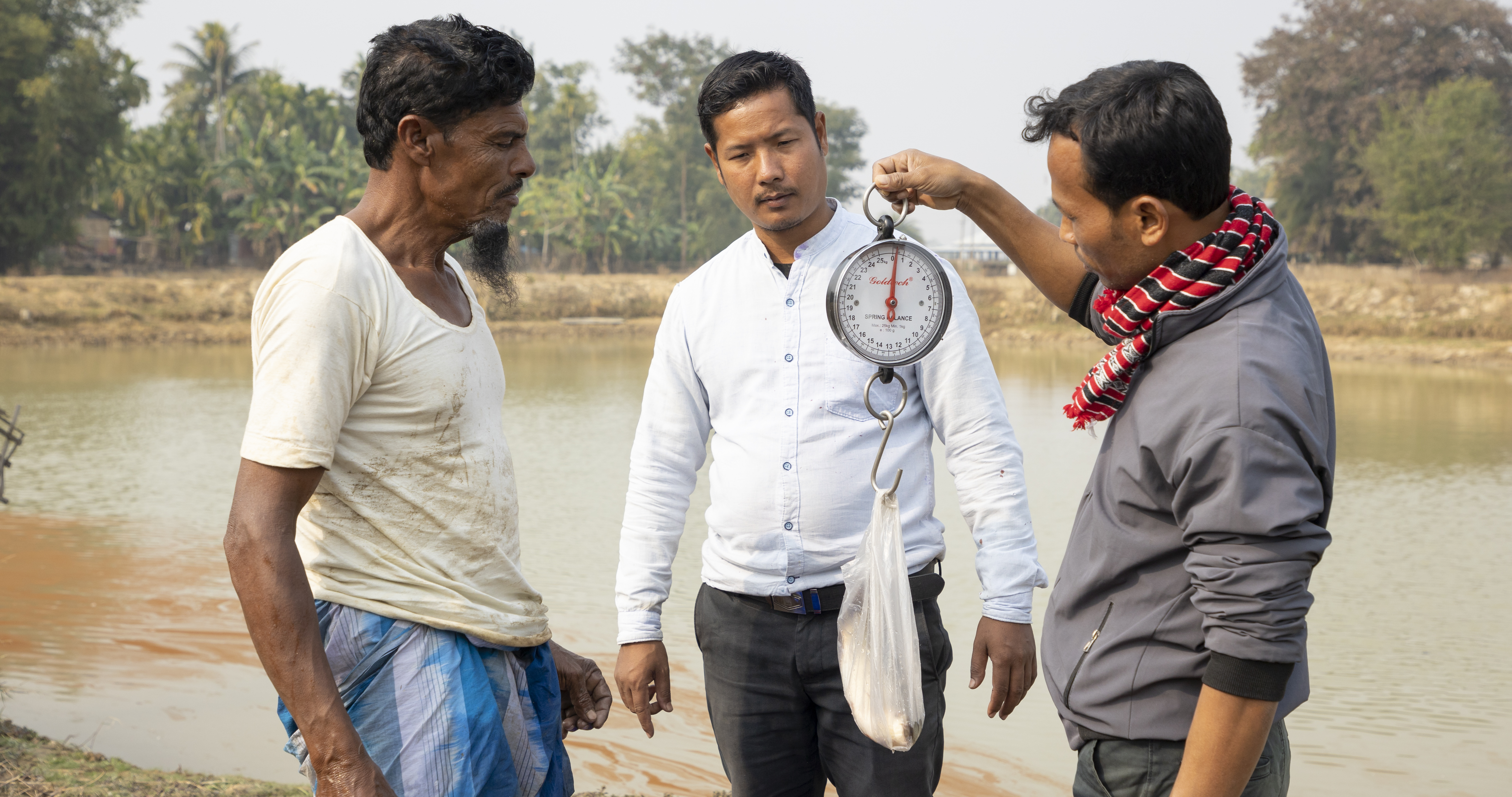
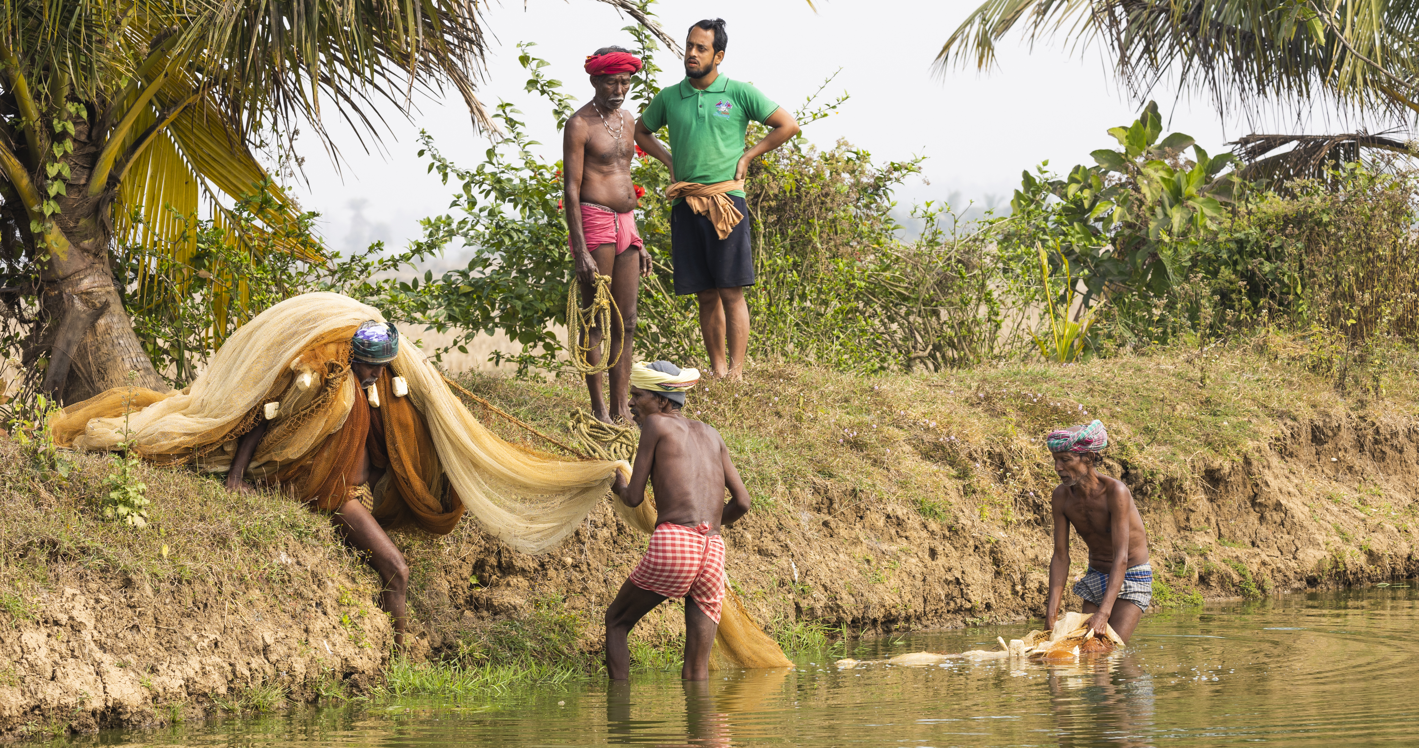
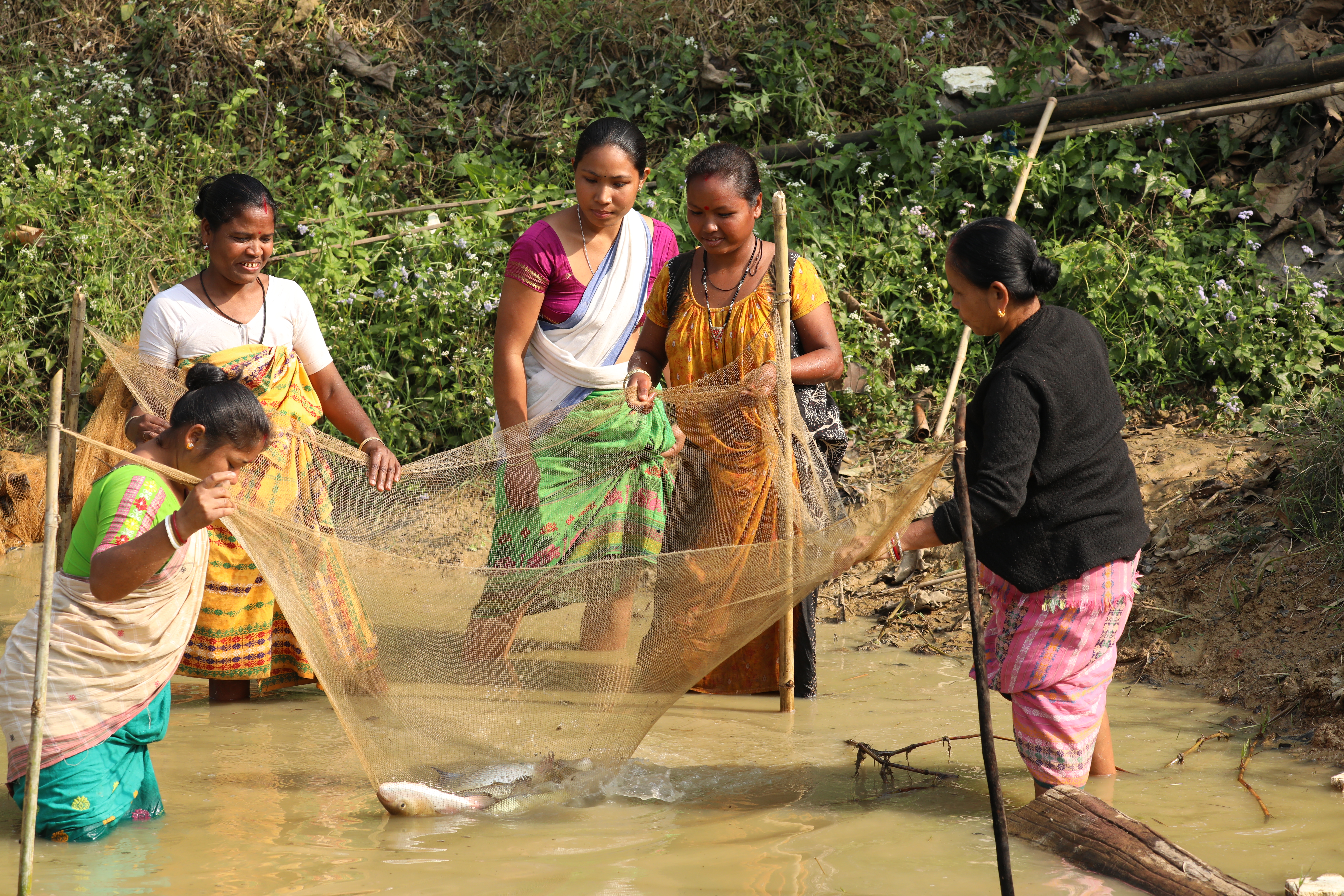
Under the SAFAL project more than 140+ CRP trainers (Train the Trainer, ToT) and 500+ CRPs and have been trained between 2021 and 2023 in Assam and Odisha. CRPs themselves are aquaculture farmer belonging to the local farmer institutions who are supporting up to 25 farmers. Up to now, CRPs are providing trainings and extension and advisory services to more than 7.000 farmers in rural areas on sustainable aquaculture practices to their communities.
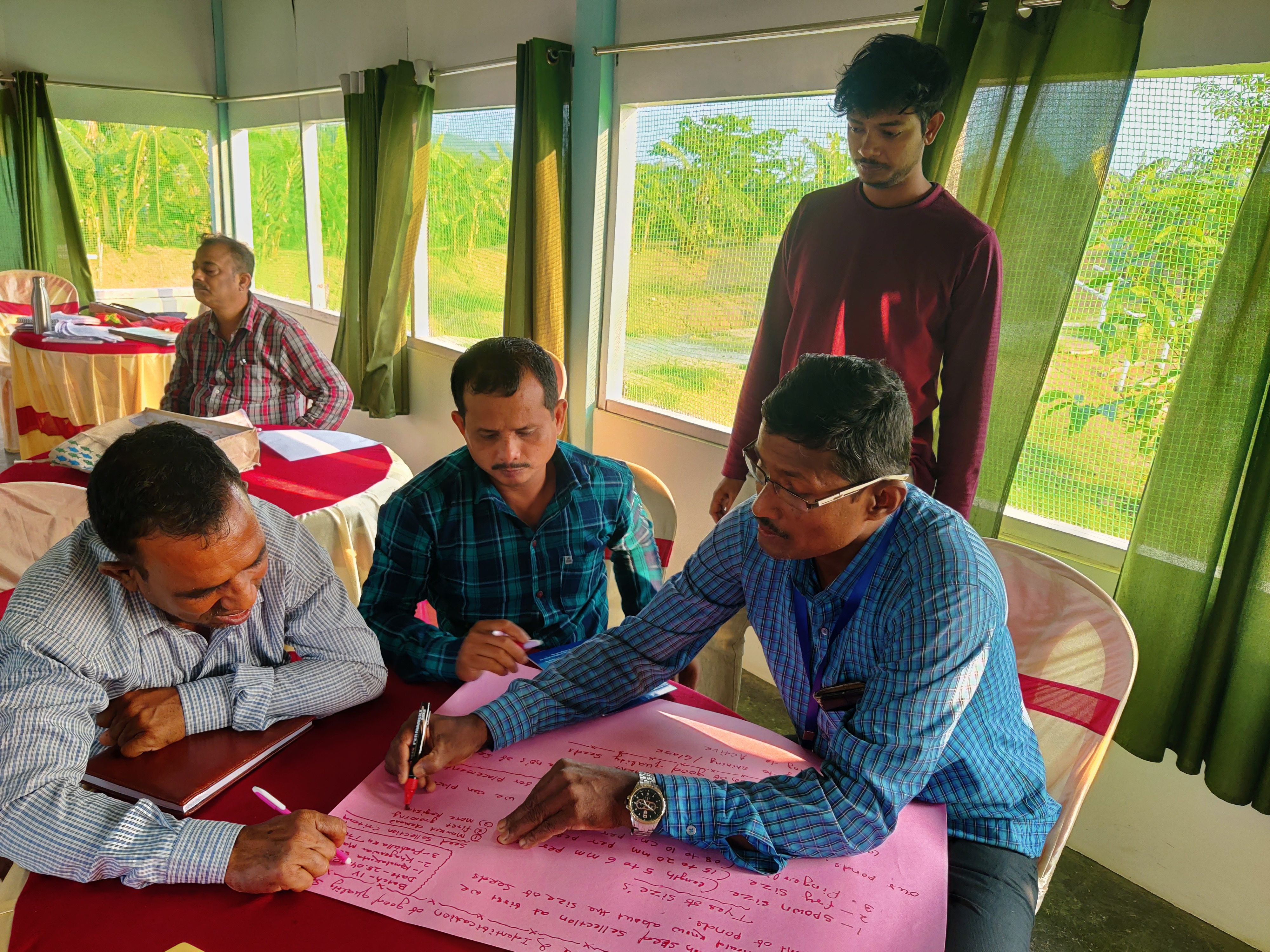
The selection process of CRPs involves several step starting from registration, selection among co-created criteria as well as following recommendations from farmer institutions such as Farmer Producer Organisations (FPOs) and Self-Help-Groups (SHGs) followed by an intensive capacity building course.
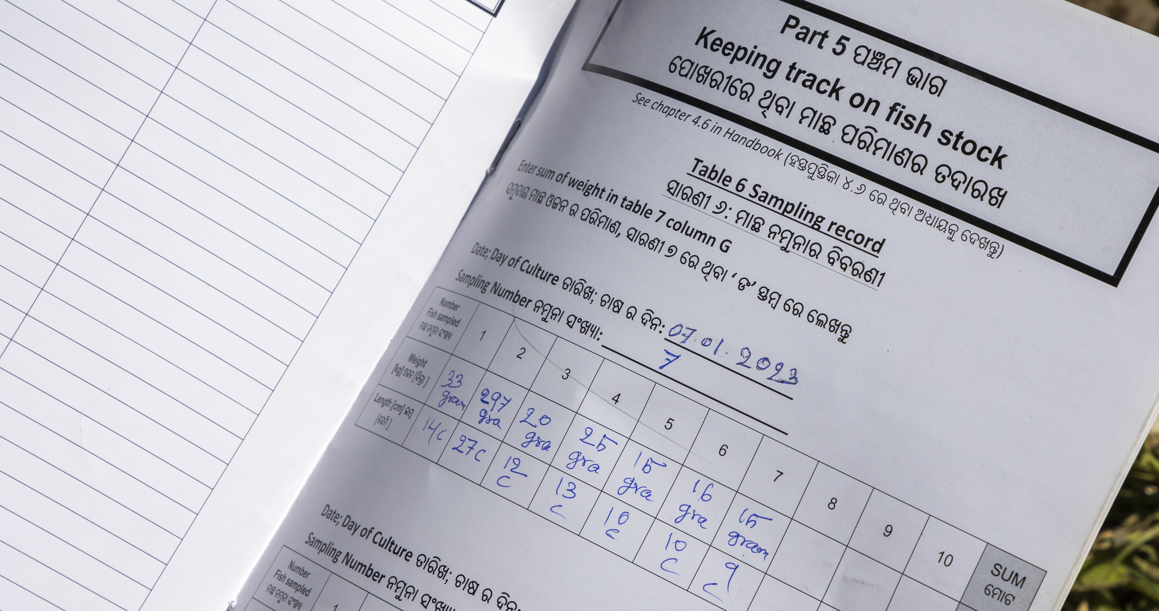
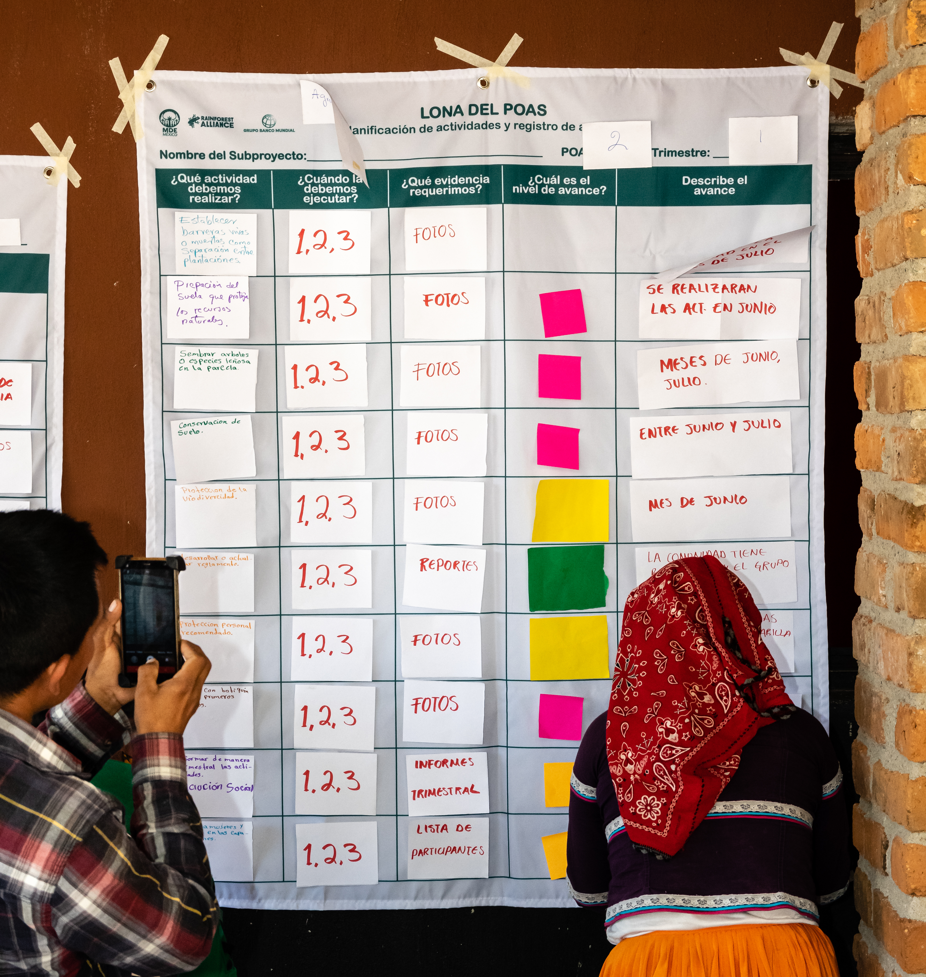
The training, likewise, for CRPs and CRP-to-farmers, are conducted in tailored sessions conducted with the help of Knowledge Products (KPs) and Information, Education & Communication (IEC) material, such as the Farmer’s Handbook, a Training Manual for Trainers, the Farm Record Book and various training material. Those were co-created among scientists, government officials, experts in sustainable aquaculture practices, aquaculture operators and SAFAL technical to fit the exact needs of the local farmers.
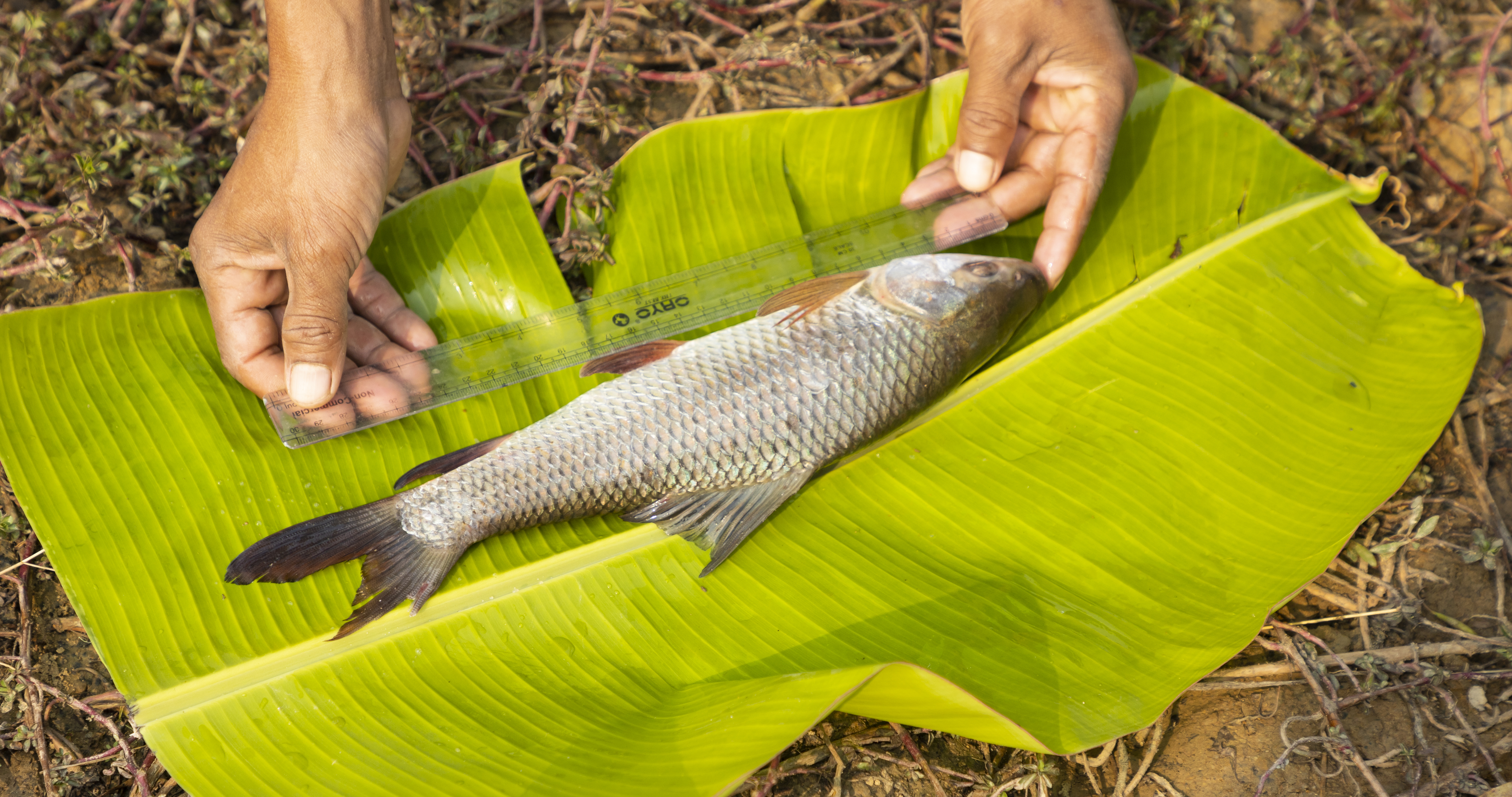
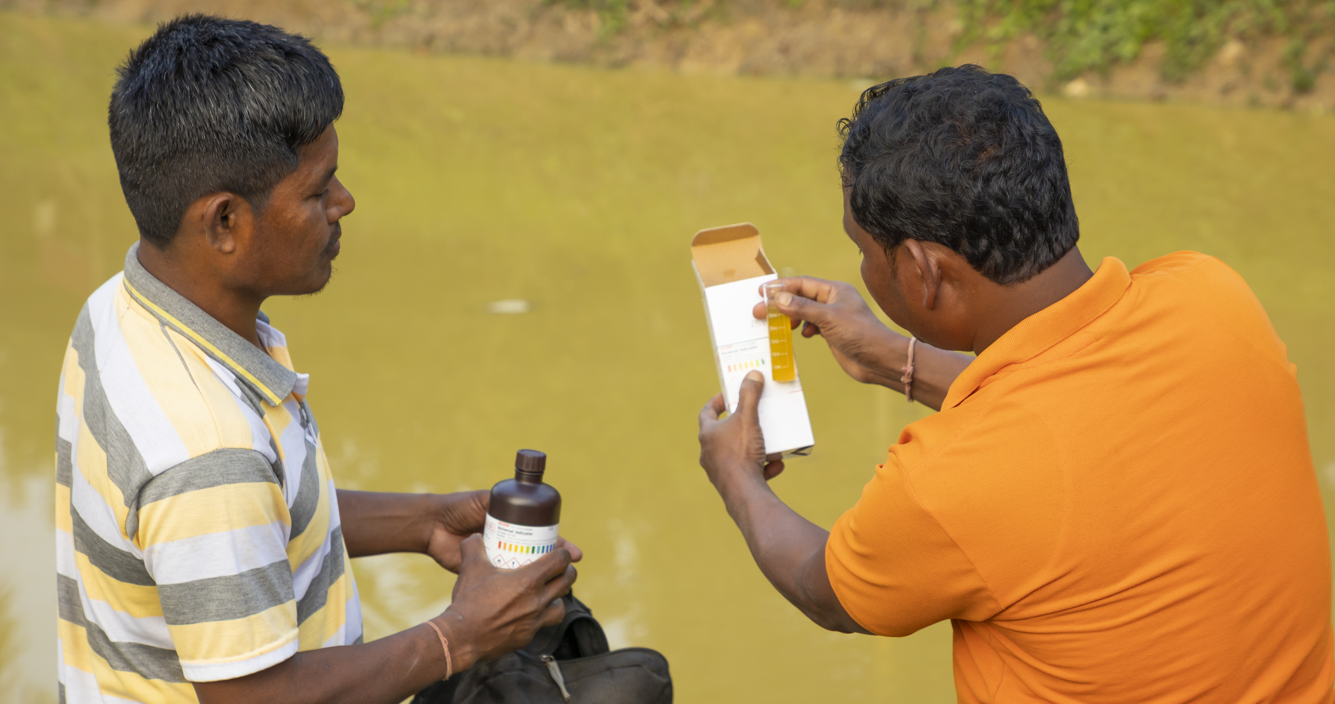
The training cascade contains basic and advanced modules using the didactic methodology for easy adoption of adult learning. The program consists of 30 per cent classroom and 70 per cent hands-on training as well as exposure visits to state-of-the arts hatcheries and research and educational institutions within different states. Making it accessible and inclusive to farmers all over, it is translated into local languages and designed in a way that it can be held in remote and rural areas using flipbooks, posters, and pamphlets to teach without access to electronics.
CRPs are based within their farmer institutions (FPOs, FPCs, SHGs) and are motivated by social, environmental, and financial incentives, including selling goods and services, and facilitating access to finance.
Through this self-financed CRP model, thousands of small-scale farmers are empowered with knowledge and resources. This ground-level approach boosts yields within planetary boundaries while ensuring nutrition and food security.
You can find more information about the training materials (knowledge products and Information, Education & Communication material) and download them in the building block: Knowledge Products and Information, Education & Communication Material.