NoArk's Building Blocks
The building blocks of NoArk's solution are interconnected to create a comprehensive, efficient system for conservation and environmental management. Bio-acoustic and chemical sensors collect critical ecological data, while Edge AI processing ensures rapid, on-site analysis, enabling immediate detection and response. These components are supported by LoRaWAN connectivity, which facilitates reliable, long-range communication in remote areas. The processed data is centralized on the PAMS dashboard, where it is visualized and analyzed for actionable insights, fostering better decision-making.
This system is strengthened by hyperlocal climate data, which enhances precision in risk assessments and planning. Finally, community and stakeholder engagement ensures the data and tools are effectively utilized, promoting collaboration and adaptability. Together, these elements form an integrated solution that empowers conservation efforts, addresses ecological threats, and supports sustainable development.
The purpose of the building blocks in NoArk’s solution is to create an integrated and scalable system for addressing ecological, social, and economic challenges. Each building block plays a unique role and works in harmony with the others to deliver impactful outcomes.
How Each Building Block Works
1. Bio-Acoustic and Chemical Sensors
- Purpose: To monitor ecological and environmental health.
- How it Works: These sensors detect specific sounds (chainsaws, wildlife movement) and measure air and water quality, providing real-time data on biodiversity and pollution levels.
2. Edge AI and IoT Integration
- Purpose: To process data locally for faster decision-making.
- How it Works: Edge AI analyzes data directly on the devices, reducing reliance on cloud processing. IoT connectivity ensures data is transmitted securely and efficiently.
3. LoraWAN Connectivity
- Purpose: To enable cost-efficient, long-range communication.
- How it Works: LoraWAN ensures sensor data is transmitted over long distances with minimal power consumption, making it suitable for remote deployment.
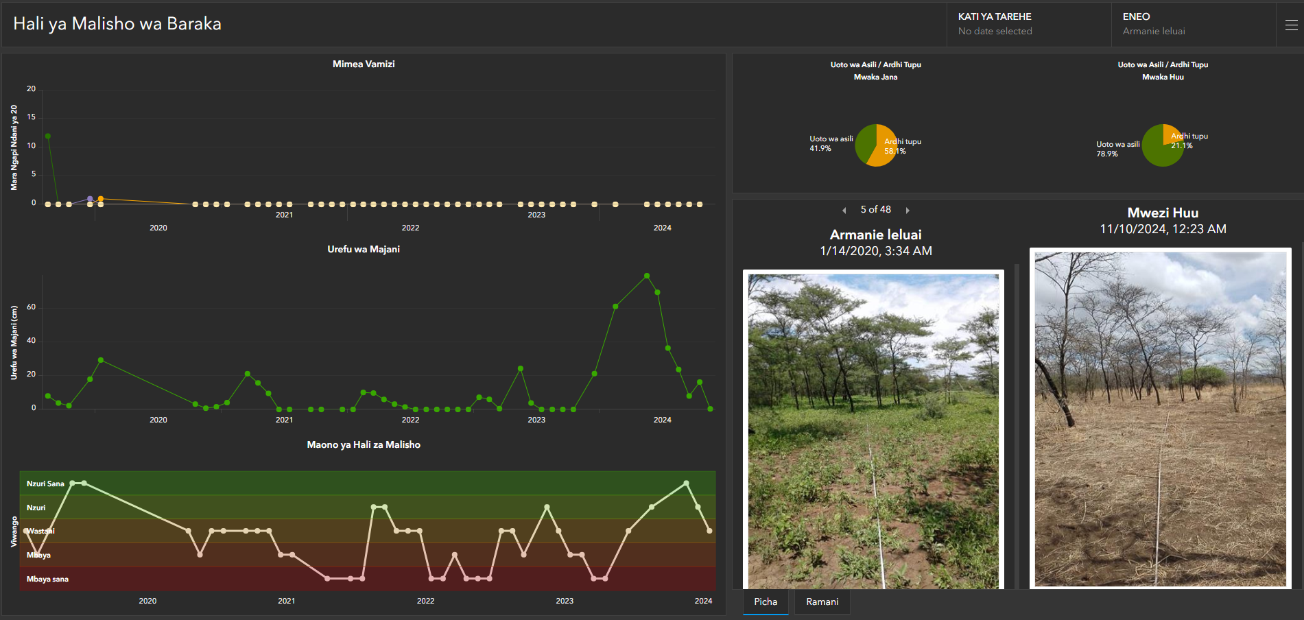
4. PAMS Dashboard
- Purpose: To centralize and visualize data for actionable insights.
- How it Works: The dashboard aggregates data from all devices, providing tools for predictive analytics, real-time monitoring, and decision support.
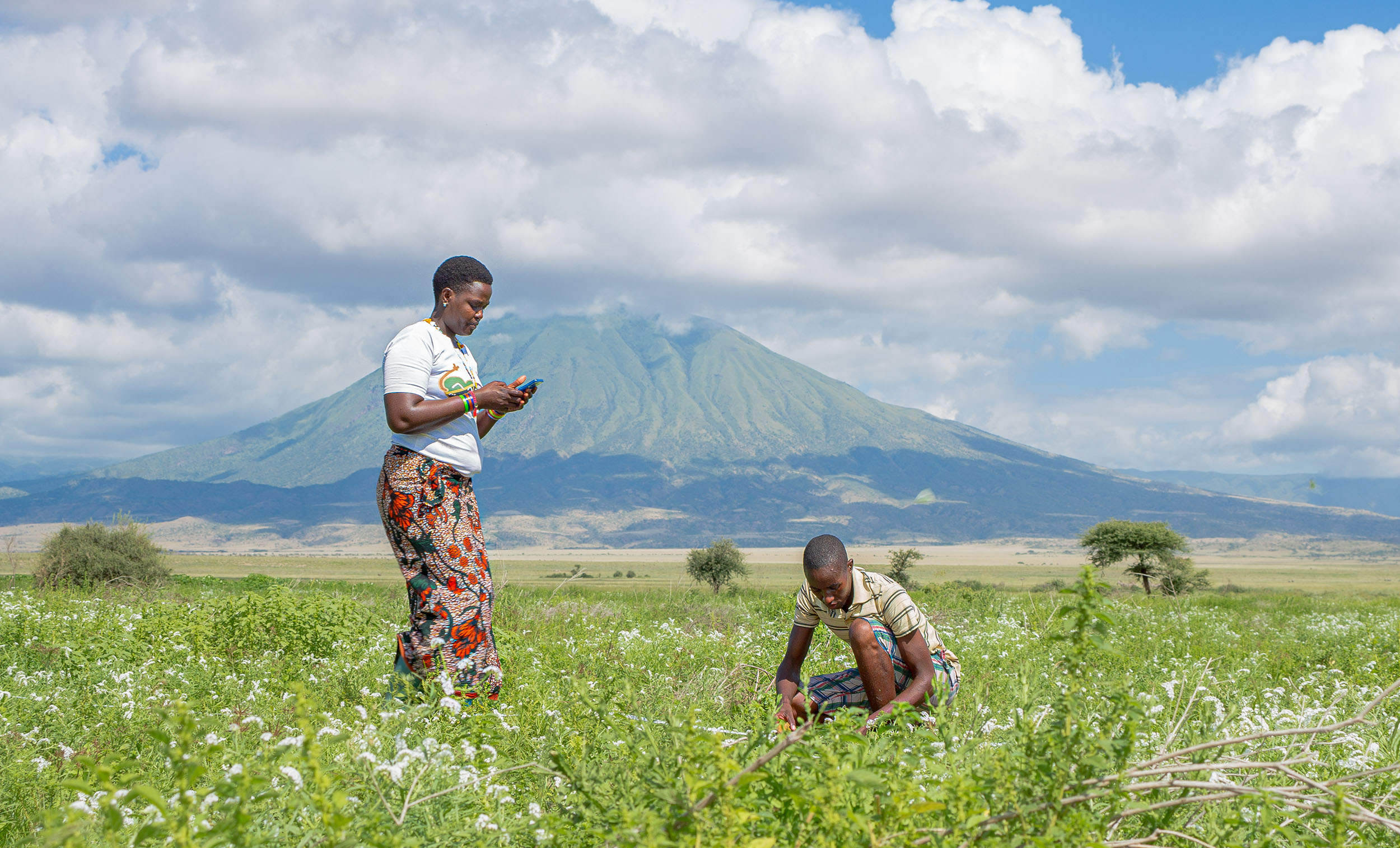
5. Hyperlocal Climate Data
- Purpose: To support precise, localized interventions.
- How it Works: Sensors generate accurate, auditable data that informs risk assessments, conservation planning, and disaster management.
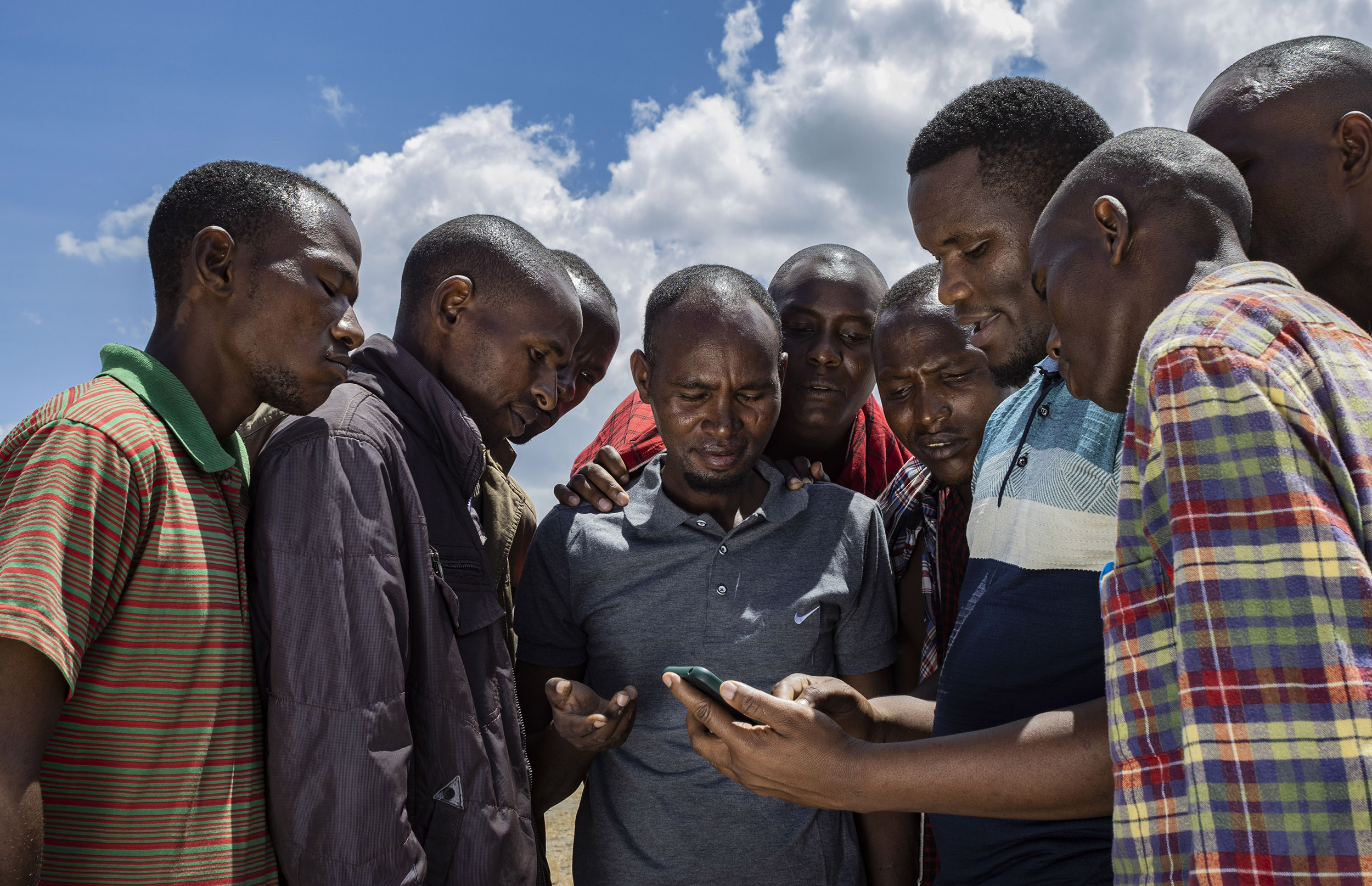
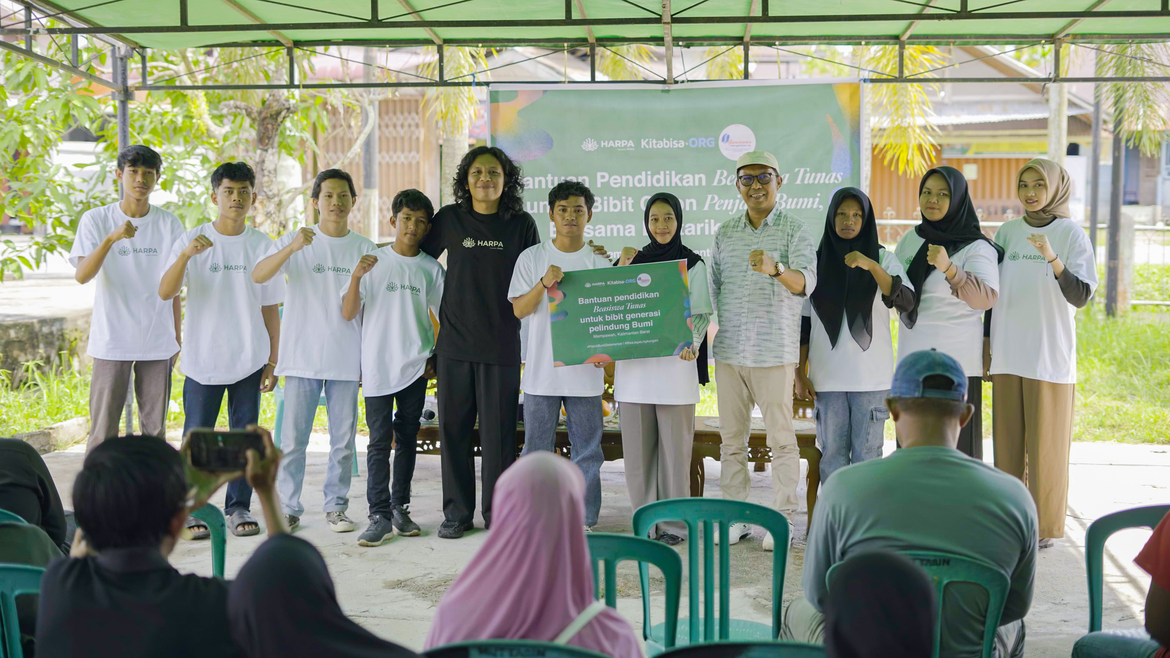
6. Community and Stakeholder Engagement
- Purpose: To ensure effective implementation and adoption of the system.
- How it Works: Partnerships with local communities, researchers, and decision-makers foster collaboration, capacity-building, and long-term sustainability.
Enabling Factors
- Technological Infrastructure: Reliable sensors, robust AI, and IoT technologies enable seamless data collection and processing.
- Partnerships and Collaboration: Engagement with local communities, governments, and research organizations ensures the system is tailored to specific needs.
- Scalability: LoraWAN and modular design allow deployment in diverse ecosystems and scaling to larger projects.
- Sustainability: The system’s low power requirements and stakeholder involvement ensure long-term functionality and impact.
These enabling factors ensure the building blocks work cohesively to deliver a holistic, impactful solution for conservation and environmental management.
Conditions Important for Success
1. Reliable Technological Infrastructure
- High-quality sensors, robust Edge AI, and IoT systems are essential for accurate and timely data collection and processing.
2. Strong Connectivity
- LoraWAN or similar long-range, low-power communication systems are critical to ensure seamless data transmission in remote or challenging environments.
3. Stakeholder Engagement
- Collaboration with local communities, governments, and researchers ensures the solution is contextually relevant, widely accepted, and effectively implemented.
4. Scalability and Modularity
- Designing systems that can scale and adapt to various ecosystems and environmental challenges is key to broader impact and replication.
5. Sustainability Planning
- Developing low-power solutions, clear funding strategies, and community-driven maintenance plans ensures long-term functionality.
6. Capacity Building
- Training stakeholders, including local communities and enforcement agencies, to utilize and interpret the system’s data enhances the effectiveness of the solution.
Lessons Learned
1. Adaptability is Critical
- Each deployment requires customization to address local ecological, social, and economic conditions effectively.
2. Community Involvement Drives Success
- Engaging local stakeholders early fosters ownership, increases trust, and enhances adoption.
3. Robust Data Systems Improve Decision-Making
- Providing accurate, auditable, and traceable data builds credibility with decision-makers and supports informed interventions.
4. Connectivity Challenges Must Be Addressed
- Remote deployments need reliable communication systems like LoraWAN to ensure uninterrupted data flow.
5. Integration of Multi-Sensor Inputs Enhances Impact
- Combining bio-acoustic and chemical sensors with climate data creates a comprehensive understanding of ecological challenges, enabling holistic solutions.
6. Continuous Feedback Loops Improve Performance
- Iterative updates based on field experience and stakeholder feedback optimize system performance and impact.
By meeting these conditions and applying lessons learned, NoArk’s solution ensures effective implementation and significant positive outcomes for conservation and environmental management.