Leveraging diverse expertise from various backgrounds, such as fisheries, technology, and governance, to contribute their expertise and experience. Pooling resources from different stakeholders community, government, technology and knowledge partners including INCOIS and Qualcomm to support the development, implementation, and scaling up of the FFMA. Ensuring the FFMA meets the needs of fishers and other stakeholders, increasing its adoption and impact. All these building a strong foundation for the FFMA's long-term sustainability through shared ownership and commitment.
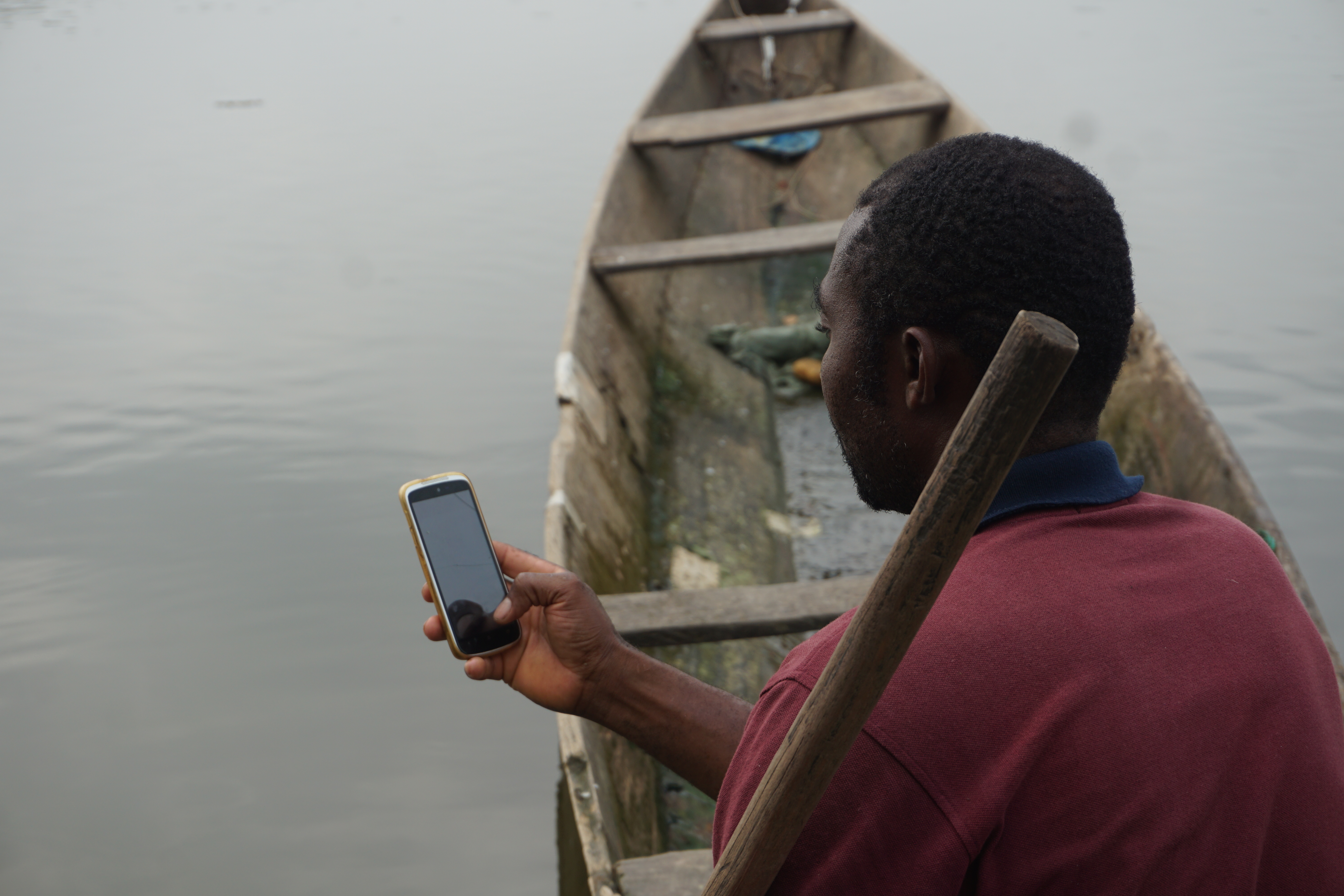
Continuous engagement with the fisher community
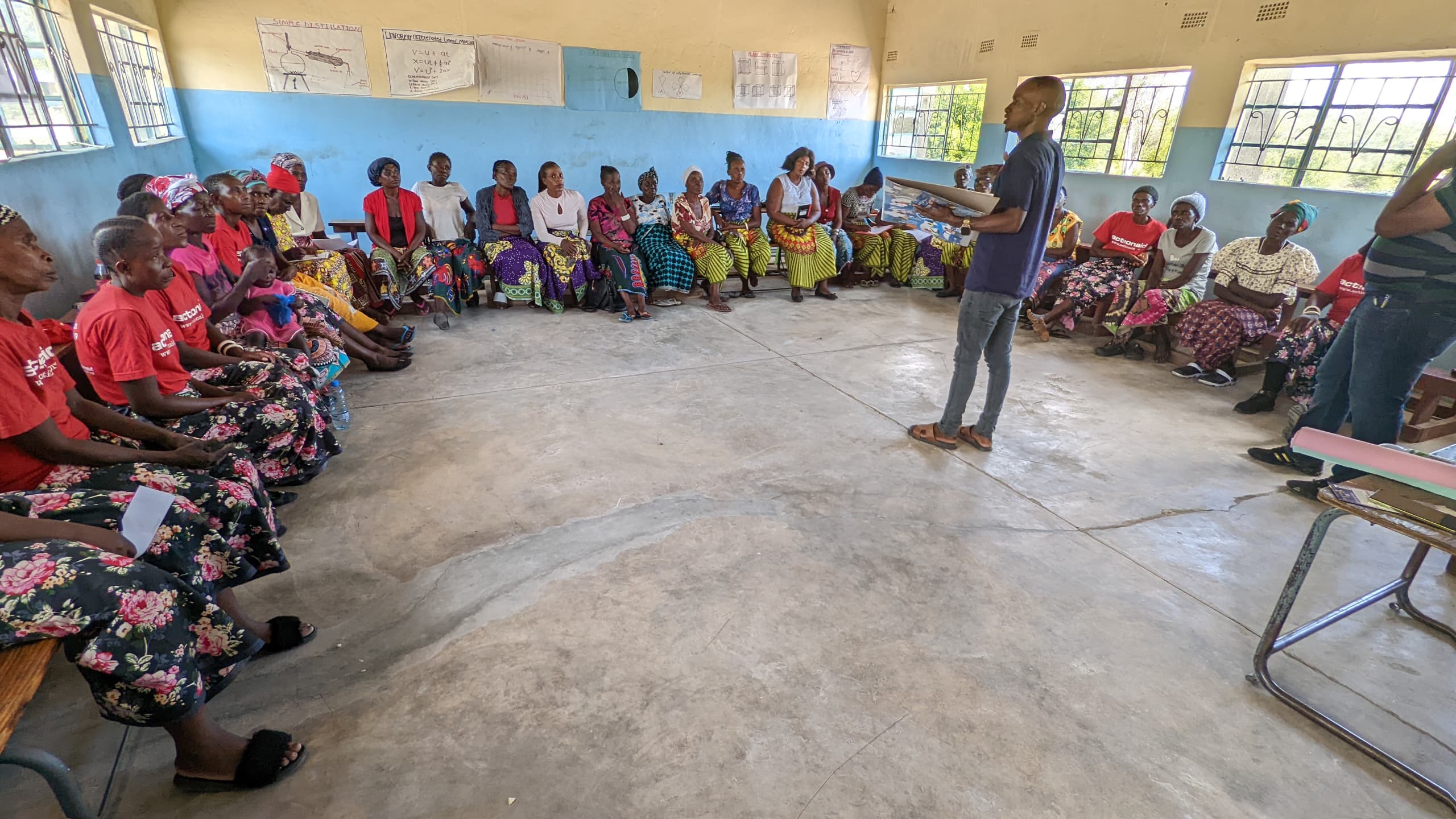
Continuously engage community in development process enables the development of a more user-friendly and relevant Fisher Friend Mobile Application (FFMA) including identifying and addressing specific challenges and requirements, refining the application based on feedback and evolving needs., building trust and encouraging widespread use among fishers.
Engagement with Qualcomm: Sustained support from Qualcomm is also important factor to take application in PAN India
Embedding Fisher Friend within the Fish for All Centre Programme:
MSSRF integrated Fisher Friend into its Fish for All Centre Programme, focusing on sustainable fisheries development. This alignment leveraged existing resources, expertise, and networks, providing a strong foundation for promoting Fisher Friend.
Engagement with INCOIS:
Collaborating with the INCOIS, MSSRF ensured the provision of critical oceanographic data and advisories. This partnership enhanced the app’s accuracy and relevance for fishers.
Engagement with Departments of Fisheries and the Indian Coast Guard:
Closely work with government departments to align Fisher Friend’s services with government priorities. These partnerships also facilitated policy advocacy and integration with existing fisheries initiatives
Partnership with Fisher Associations and Local NGOs:
By partnering with fisher associations and local NGOs, MSSRF leveraged local networks and expertise
Continuous engagement with the fisher community is crucial for developing a user-friendly and relevant application.
Regular feedback and updates are necessary to ensure the application meets evolving user needs.
Collaboration with various stakeholders can enhance the application's impact, sustainability, and reach.
Technology can significantly improve the lives and livelihoods of fishers by providing timely information, improving safety, and increasing efficiency.