Continuously provide agricultural and forestry technology training for farmers in Liziba, encourage and guide villagers to establish characteristic agricultural and forestry cooperatives
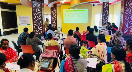
Based on the local natural resource conditions, Liziba Village vigorously develops economic forest industries such as walnuts and chestnuts, cultivates and processes tea, fungus, and edible mushrooms, cultivates traditional Chinese medicinal materials such as Tianma and Chonglou, and engages in beekeeping and chicken farming. Some farmers in Liziba Village spontaneously formed a tea cooperative, registered their own tea brand, and built an online trading platform through e-commerce, promoting the vigorous development of the green economy. Targeted training was provided to village level management and maintenance personnel on fund management, mountain patrol and maintenance, responsibility implementation, safety education, etc., to enhance the villagers' ability and level of independent management and maintenance.
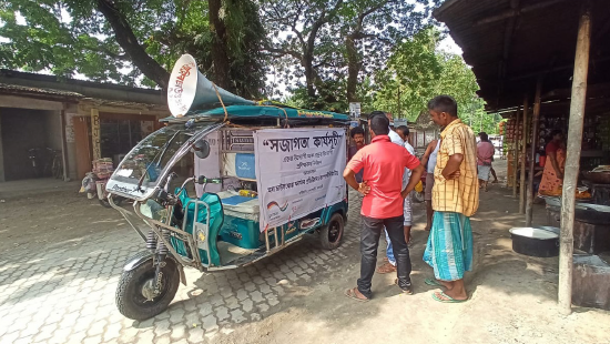
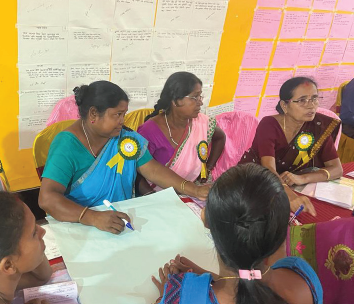
Collaborate with local governments and organizations to promote community participation
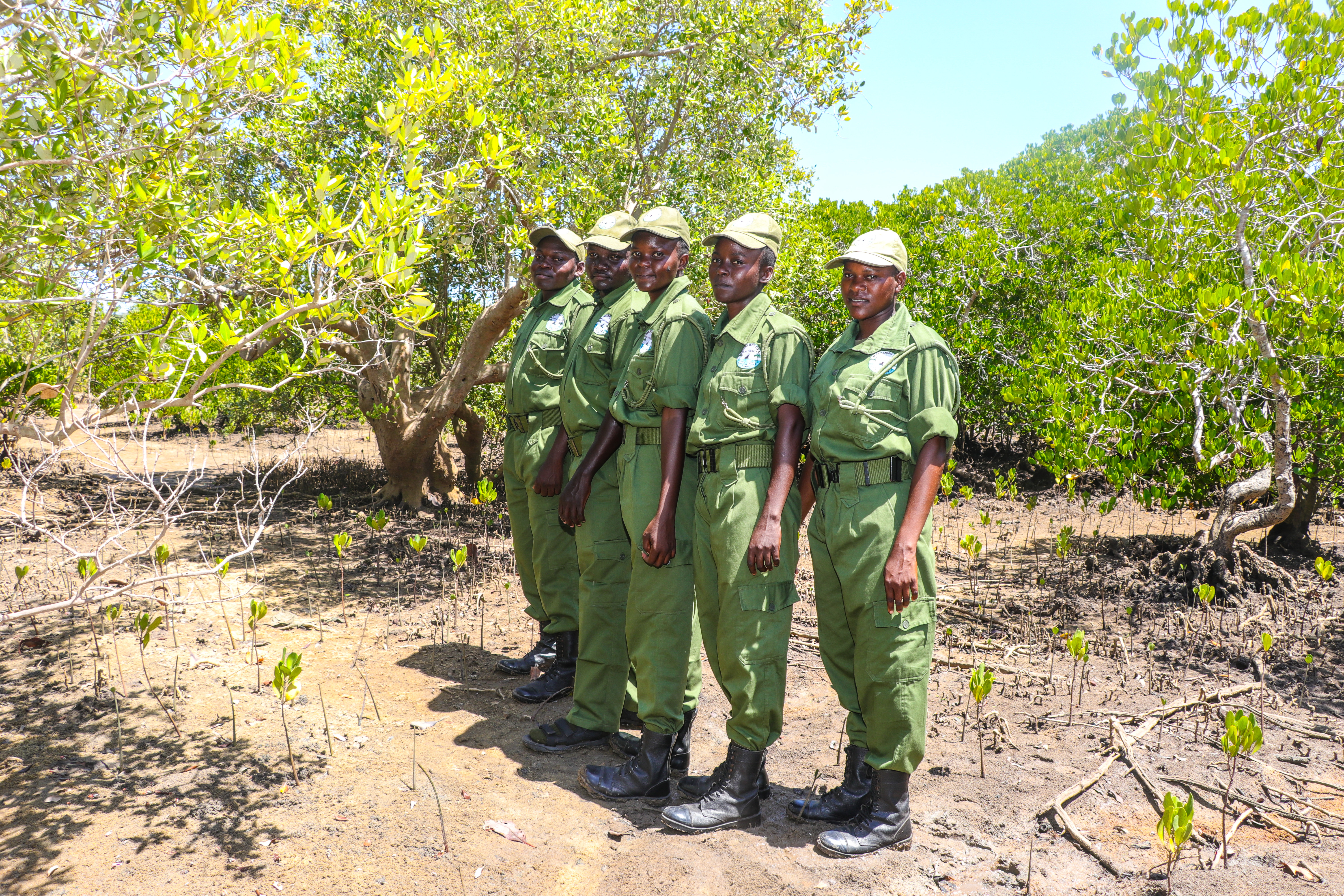
Organize training to enhance villagers' ability and level of self-management and protection
Continuous guidance and follow-up support have achieved long-term imaging
Strong support from the government and forestry related units
Through the continuous efforts of the Protection Bureau and the Liziba community over the years, other villages and communities have been guided to innovate the management and protection mode of the Tianbao collective forest, mobilizing the enthusiasm of villagers. The management and protection measures have been continuously strengthened, resulting in an increase in the area of Tianbao state-owned forests and collective forests, a significant improvement in forest quality, and a dual growth of forest area and accumulation, with significant ecological benefits. The typical case of Liziba Village has been comprehensively implemented in various villages and communities. The people in the jurisdiction of Liziba have benefited from the management and protection of natural forest resources, changed their mindset, and their awareness of ecological protection has significantly increased. Illegal activities such as illegal logging, illegal transportation of timber, illegal purchase of timber, poaching of wild animals, and deforestation and land reclamation have been controlled. The phenomenon of active and spontaneous protection of forest resources, rescue of wild animals, and community patrols and monitoring has been increasing among the nine communities. The edge forest line of the experimental area has shifted from backward movement in the 1980s and 1990s to forward movement, and natural resources and ecological environment have been significantly improved, fully mobilizing the enthusiasm of villagers to love forests and protect forests.