Development of a transdisciplinary plan for managing human–jaguar interactions at the regional scale in the DRMI Serranía de los Paraguas
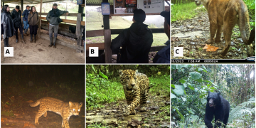
Implementation of community-based monitoring of jaguars and ,mammal diversity using camera traps
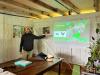
Applying a behavior change approach to address human dimensions related to jaguars in strategic areas where the species is present
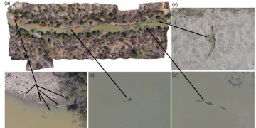
Implementation of adaptive livestock management strategies on farms adjacent to water source protection forests and public and private reserves