

Dado que la GBRMPA nunca había recibido tantas propuestas públicas (más de 10.190 en la primera fase y 21.500 en la segunda, sobre el proyecto de plan de zonificación), se utilizó el siguiente proceso en varias fases para analizar todas las propuestas:
- Los datos de contacto de cada presentación se registraron en una base de datos, se asignó un número de identificación único y se envió una tarjeta de acuse de recibo a quien hubiera realizado la presentación.
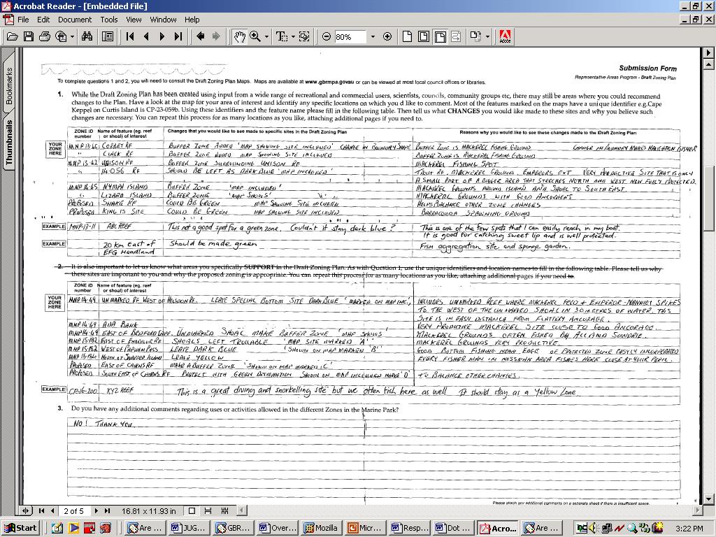
- Todas las propuestas se escanearon individualmente y los archivos electrónicos se guardaron en una base de datos Oracle.
- Personal formado de la GBRMPA analizó cada envío utilizando un marco de codificación compuesto por palabras clave para una serie de temas y atributos. El marco se elaboró a partir de una muestra aleatoria estratificada de envíos basada en el lugar de origen y el sector. La base de datos vinculaba el PDF escaneado con los datos de contacto y la información analítica (es decir, las palabras clave).
- Una función de búsqueda y recuperación basada en las palabras clave permitía a los planificadores buscar y recuperar archivos PDF de propuestas concretas o realizar diversas consultas de toda la información contenida en las propuestas.
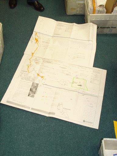
- Muchas de las propuestas contenían información espacial, incluidos unos 5.800 mapas en las fases de presentación formal, que se digitalizaron o escanearon.
La legislación establece un proceso exhaustivo para la participación de la comunidad en el proceso de planificación. El hecho de que los lugareños estuvieran "familiarizados" con dos fases de participación pública y presentaciones escritas gracias a experiencias anteriores con procesos de planificación de la RGC ayudó en este proceso de planificación más reciente. Muchos grupos colaboraron presentando propuestas conjuntas. El jefe de equipo comprobó una muestra de las propuestas analizadas para garantizar la coherencia del análisis en todo el equipo analítico.
- El método de análisis debe tener en cuenta el contenido de las propuestas y no el número de veces que se hace un comentario. El proceso de presentación de propuestas no es un juego de números, sino que se centra en la calidad de los argumentos presentados.
- En la primera fase pública, muchas preguntas abiertas en el formulario de envío dieron lugar a largas y farragosas respuestas, que resultaron difíciles de codificar, al igual que los grandes mapas que también se distribuyeron.
- La segunda fase fue más eficaz, ya que se utilizó un sencillo formulario de dos páginas de tamaño A3 en el que se planteaban preguntas más concretas. No todo el mundo utilizó el formulario, pero facilitó el escaneado y la codificación.
- Se recibieron muchos formularios proforma, fáciles de codificar pero poco útiles.
- Era importante vincular la información espacial con un sistema de codificación cualitativa en el SIG.
- La codificación se basó en siete temas clave y una serie de subtemas, lo que permitió un análisis detallado de cada propuesta y de toda la información facilitada.
- La opinión del público es importante para demostrar que se han tenido en cuenta todos los comentarios.