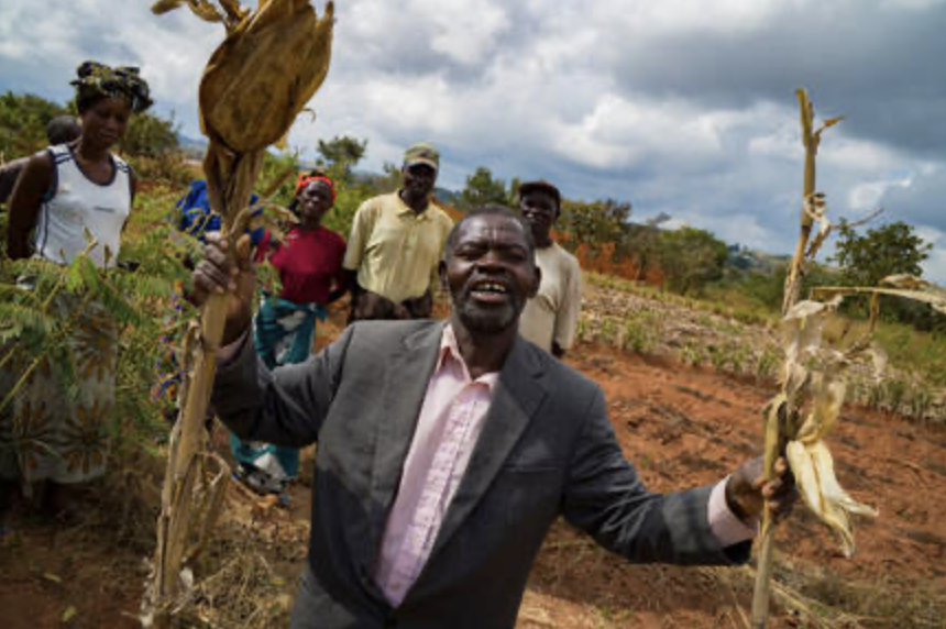
Building Block 1: Empowering Grassroots Communities for Forest Patrol and Lemur Conservation
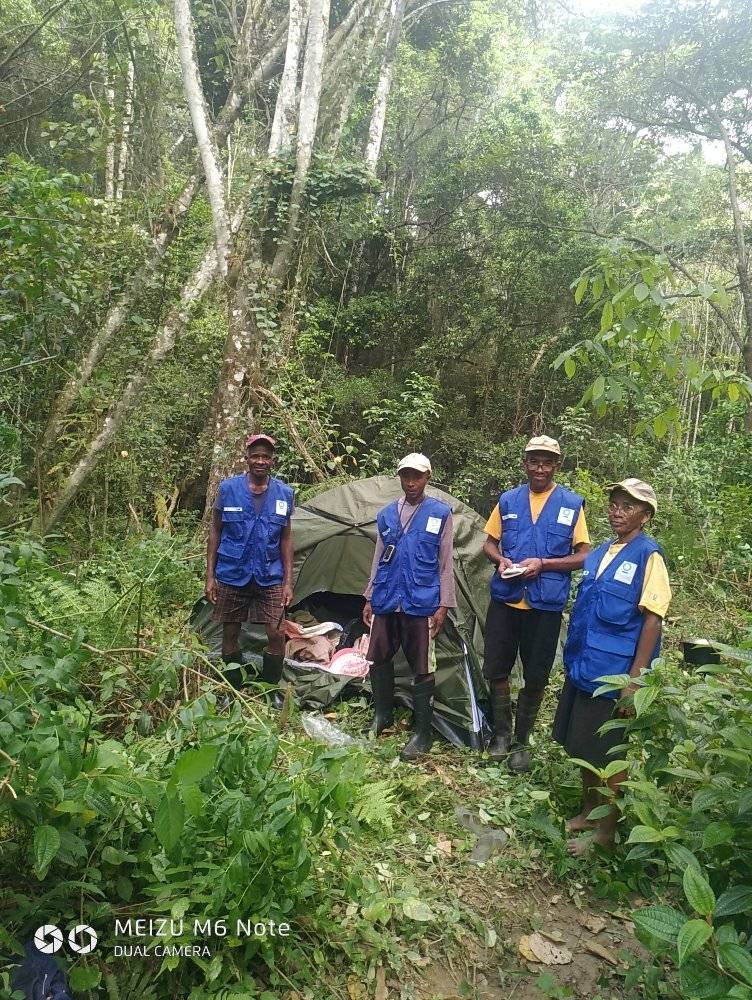
To strengthen the capacity of local patrollers in the Fierenana forest, a targeted training program was implemented to support grassroots communities with practical tools and knowledge for biodiversity monitoring. This initiative focused on lemur conservation and involved both theoretical and field-based instruction. Patrollers were trained in responsible forest navigation, emphasizing the importance of silence, attentiveness to visual and auditory cues, and appropriate behavior to minimize disturbance to wildlife.
A key component of the training was the introduction of four standardized data collection sheets. These tools guided patrollers in documenting transect routes, recording sightings of target species, identifying threats, and noting microhabitat conditions. The transect sheet helped define patrol routes, which followed existing forest trails and were marked every 25 meters with blue flags to aid in spatial referencing. Transects ranged from 1,000 to 4,500 meters and were selected to maximize forest coverage while avoiding deforested areas. To prevent overlap in observations, adjacent transects were spaced at least 250 meters apart.
During patrols, patrollers walked at a steady pace of 1 km/h, recording all visible lemurs along the transect. Observations included species identification, group size, age categories, and, when possible, sex. For each group, the patroller estimated distances to aid in future density calculations. Only visual sightings were counted to avoid duplication from vocalizations. In parallel, patrollers documented threats such as traps, logging, fires, and slash-and-burn agriculture, attempting to quantify their extent in terms of number, volume, or area. Any threats observed were flagged with red markers and dated to avoid repeated reporting in future surveys.
Patrollers also learned to use GPS devices to locate transect starting points and to ensure consistent data collection. Surveys were ideally conducted at the same time each day, starting no later than 7:30 AM, to maintain comparability. Observations of non-target species and off-transect sightings were also recorded to provide a broader ecological context. Each of the nine local community-based organizations (COBAs) was responsible for monitoring two to three transects per month, fostering local ownership and continuity in conservation efforts.
This building block demonstrates how structured training, simple tools, and community engagement can be effectively combined to support conservation goals. It offers a replicable model for other forest ecosystems and species monitoring programs.
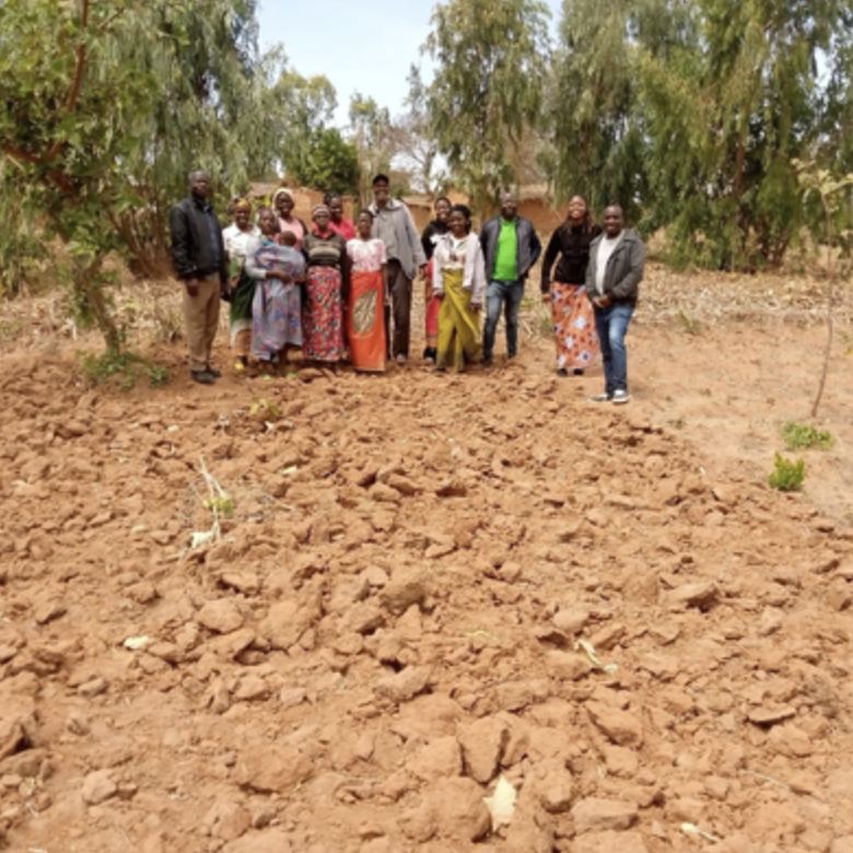
In the commune of Fierenana, there already exists a strong foundation for community-based conservation. The local Community-Based Organizations (COBAs) have been actively engaged in protecting the CAZ Forest in Madagascar, which involves participation from both men and women from the local communities, who are committed to environmental stewardship.
Through a process known as “Management Transfer,” the Ministry of the Environment delegates the management of specific forest areas—particularly buffer zones of the CAZ—to these COBAs. These management contracts are reviewed and renewed every three to five years, depending on performance and compliance. Each COBA operates under a formal structure, including a governing board, internal regulations, and a general assembly, ensuring transparency and accountability.
Currently, at least nine COBAs operate within Fierenana, collectively overseeing a forest area of approximately 7,100 hectares. These groups include around 478 members, with a subset designated as patrollers—individuals physically capable of conducting regular biodiversity monitoring and threat assessments, particularly for lemur habitats. Each COBA is based in a fokontany, the smallest administrative unit in Madagascar, which helps ensure localized engagement and oversight.
To streamline coordination and strengthen collaboration with Conservation International (CI), these COBAs were unified under a single umbrella organization: the Vahitriniala Federation. This federation serves as the primary point of contact for CI throughout the BIOPAMA project and facilitated more efficient contracting and project implementation.
Local governance structures further reinforce these efforts. The commune is led by a mayor, supported by deputies, municipal staff, and council members. At the fokontany level, the Fokontany Chief played a key administrative role, while the Tangalamena—the traditional leader—provided cultural legitimacy and often endorses major decisions. This alignment between formal institutions and traditional authorities helped to create a favorable environment for conservation initiatives, ensuring both administrative support and community buy-in.
The rural commune of Fierenana has shown that environmental awareness is most effectively spread when integrated into all types of community gatherings. Embedding conservation messages into routine meetings—especially those led by local authorities—significantly enhances the reach and impact of awareness campaigns.
Effective communication also depends heavily on the credibility and conviction of the facilitator. When facilitators are genuinely committed and transparent in their approach, they are more likely to gain the trust and cooperation of community members.
However, challenges remain. In some cases, individuals have misused the name of a COBA to gain access to forest areas under the pretense of conservation, only to later convert the land for agricultural use. This highlights the importance of rigorous oversight. The Ministry of the Environment must ensure consistent monitoring of the management transfer process, while COBAs must strictly adhere to the terms outlined in their management agreements. These agreements, co-signed by the Ministry and the COBA president, are essential tools for accountability and must be respected in both letter and spirit.
Another key lesson relates to the confidentiality of patrol schedules. To prevent information leaks that could alert offenders, patrol dates should be communicated discreetly within the team. When offenders are aware of patrol timings, they may avoid detection, undermining conservation efforts. Maintaining operational secrecy is therefore critical to the effectiveness of forest monitoring activities.