The successful implementation and longevity of the MSP relies on several key factors: Establishing a system that maintains transparency and trust among stakeholders is a fundamental prerequisite and the basis of effective collaboration. Transparency can be achieved through open communication and honest sharing of information among the stakeholders. Open communication together with holding stakeholders accountable for their commitments as anchored in the governance framework helps to build trust.
Flexibility is another critical factor MSPs should endeavour in order to adapt to evolving sectoral priorities as well as to stakeholder dynamics. Therefore, the platform should be capable and open to react to changes and new information and accordingly revise its strategy and work plan or include emerging stakeholders. This can be achieved through regular evaluations and adjustments – also regarding the general MSP performance – which contributes to the achievement of its mission.
As MSPs have the long-term purpose of sectoral improvement, members need to recognize that meaningful change may take time and requires sustained efforts. Developing and communicating a clear joint vision helps to keep stakeholders committed to the set goals over the long haul. In addition, creating ownership through the allocation of responsibilities keeps stakeholders engaged and should be considered as an essential aspect in terms of sustainability.
In terms of communication, the development and sharing of a clear strategy to all new members helps to facilitate communication inside and outside the MSP.
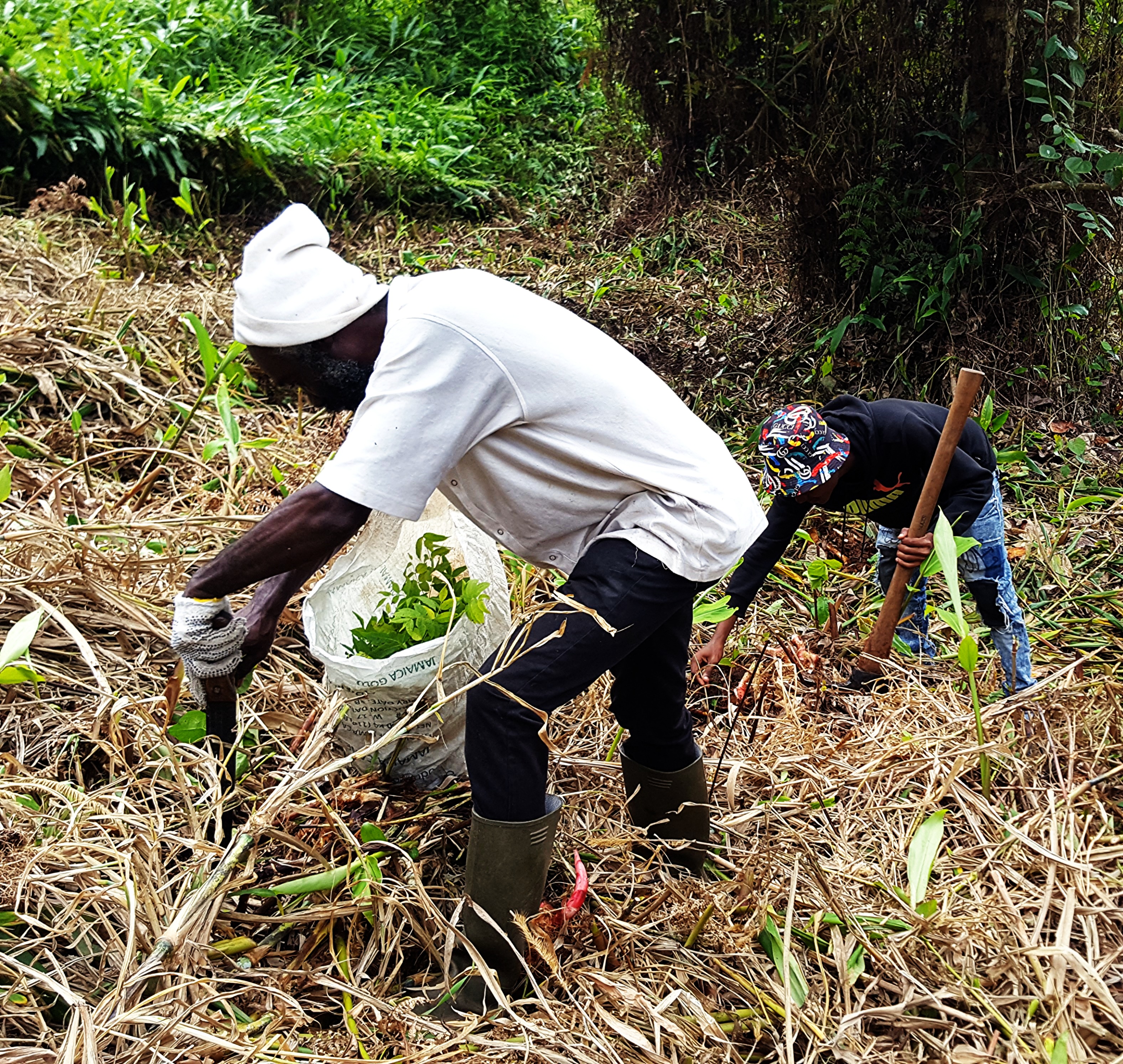
Another important aspect is the promotion and coordination of research and data collection through the MSP with the goal of ensuring evidence-based decision-making and strategies, and to remain the MSP effective in its mission. One example is a feasibility study on authorizing catch and release during the fish ban, aimed at establishing a peak period for tourism. Catch and release is a key activity in tourism, and this study seeks to harmonize evidence-based legislation between tourism and fisheries.
Identifying sustainable funding sources or mechanisms is essential for the long-term viability of MSP, because without adequate financial support, the platform will struggle to maintain its activities. Considering this aspect already in the planning and formation phase of the MSP avoids problems later, especially when the platform is initiated with the financial support of donors that have only limited time and resources for the facilitation.
Avoiding risks
For the successful establishment and management of MSPs, it is also important to consider potential internal risks that exist. One of them being the dominance of powerful stakeholders which marginalizes the voices of smaller or less influential groups. This highlights the importance to implement mechanisms that ensure power balance, especially when developing the governance framework. The rotation of leadership positions and equal say for all members regardless of their size or lobbying power are two possible ways of addressing this.
Another potential risk is the occurrence of conflicting interests due to the wide array of stakeholders engaged. This can slow down consensus building and the joint decision-making. Striking a balance between inclusivity and efficiency is a continual challenge.