Combining a variety of donation options and marketing strategies to promote contributions
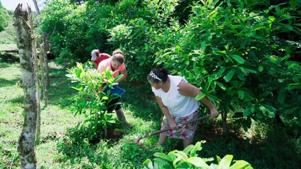
Donors can contribute to the campaign through different packages/amounts: “My Footprint” (one tree for 15 USD), “Family Footprint” (10 trees for USD 150), “Small Business Footprint” (100 trees for USD 1,500), and “Corporate Footprint” (1,000 trees for USD 15,000).
These packages can be purchased on the campaign’s website, that launch to a national account for FUNBAM. It is also possible to contribute by directly making bank transfers to an account in dollars or Costa Rican colones, or quickly donate using SINPE Móvil, the country’s instant mobile money transfer system. Companies and organizations, as well as Embassies made the transfer through this modality under a signed agreement with FUNBAM (the executing agency). Initially, it was also possible to donate through UNDP’s international platform, which was later removed since outreach activities were nationally focused.
Moreover, through a partnership with the corporate hardware store Ferretería EPA, customers in seven physical stores are invited to donate their spare change and complement to plant a tree, reaching those who may not have been initially aware of the campaign.
Finally, for the 1,000-tree corporate package, meetings were arranged with potential partner companies to encourage collaboration. Embassies such as Spain, Italy and others also used this modality.
The effective promotion of the campaign has gone hand in hand with the success of these various donation platforms. The marketing strategy has included social media, Google and TV ads, as well as support from the national television program Más que Notícias through specials and interviews.
The availability of technology, human expertise, and funding to sustain the online donation platform are other enabling factors.