Familiarizing farmers with spelt as bird-friendly and economically viable crop

More farmers need to know about Spelt and its usefulness in food production.  Through outreach and demonstartion it can be a viable option for other agricultural producers to adopt into their rotations, which will diversify their farm income.

Production cost/income of spelt, when compared to the production cost/income of wheat and soy was found to be a much better option for producers to diversify their crops, because of spelt's use in the current consumer market. Spelt has a current market established as both an animal feed and grain for human consumption. 

Unlike hay or grass biofuels, spelt is planted with conventional farm equipment so costs pertaining to obtaining specialized planting or harvesting equipment (like that for warm seasongrass) are not applicable.  Therefore farmers were more apt to try it.

Coastal Realignment

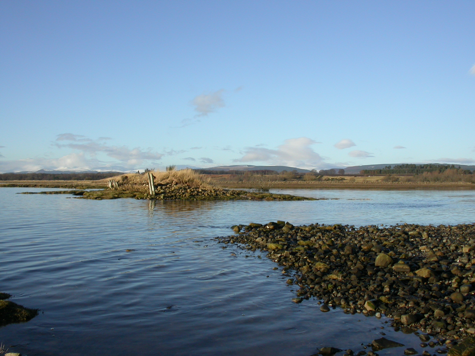
Two 20m breaches in the sea wall were created over two days to allow the tides to come into the area. The secondary sea wall behind the field was raised to 1 in 50 year predicted storm surge height, before the breaches were dug. Other required engineering works, specifically the blocking of culverts to a drainage channel behind the sea wall were also undertaken from the recommendations of the “design and impacts study”.

Prior to the 1950s when the sea wall (that was breached in 2003) was built, the area encompassing “Meddat Marsh Field” was a coastal wetland area. Indeed an Ordnance Survey map form 1872 showed that there appeared to have been some mudflat as well as saltmarsh (shown as ‘liable to floods’ on the map) in that field. Furthermore, prior to the scheme, the field was hard to keep dry and as it had not been ploughed, much of the topography (including relict saltmarsh creeks) was still present.

The Nigg Bay project was the first of its kind in Scotland and therefore there was no experience of the consents required, or the processes required for securing those consents, under the Scottish system. Consequently, the RSPB drew up a long list of potential regulations affected and the relevant agencies were consulted.

“Learning by doing”

The team took into account events during the long implementation (11years for the construction work with 5 years preliminary work) to create a successful EbA solution. In essence, they used adaptive management for their implementation. Indeed, the big flood of 2005, in the middle of their work had a major impact both on the area and on the final implementation of the solution. They also took into account public concerns (see above) towards a final solution that is appreciated by many.

Having space to allow for natural river morphology development through time.

The flood revealed that areas without turf sustained erosion damage. The best protection was to be found where the technical bank protection measures were supplemented by the planting willows or turf. Especially the thin willow rods that develop after cutting back every two to three years provide an exceptionally good hold. Furthermore, many of the new structures that developed due to flood “damage” such as pools, dips and gravel banks are connected now to the River Isar, depending on the discharge, and provide habitats for young fish and macroinvertebrates. At the same time, the biotope character of these areas is enhanced by allowing deadwood to remain after flooding. These small biotopes were maintained and protected with turf and willow. On the surfaces exposed by flooding, thin but richly flowering grass communities of high ecological value developed in the following year.

Balancing trade-offs between different priorities

The interdisciplinary working group “Isar-Plan” was initiated in 1995, with membership from the Munich City and the State Office of Water Management Munich and the “Isar-Allianz”. The group examined the flooding situation, the need for recreational areas at the riverside and the area’s biodiversity. The study included a comprehensive atlas of fauna and flora, existing public uses and spatial qualities, which later were merged into a conflict and value analysis of all aspects in relation to one another.  Based on these findings, development goals were defined. Flood defense measures were chosen that mostly maintained the existing undergrowth on the dykes to conserve ecosystems and have areas for recreation. A sufficient runoff capacity was generated by broadening the main channel bed which simultaneously enables near-natural and flat river bank stabilization.

Hydrological modelling helps to determine what is needed and what is possible for restoring the river and a suitable flow. Furthermore, while most of the river in that area had been canalized, a part near the city had maintained its character so it could serve as a model function of the river. Finally, good cooperation between stakeholders for balancing priorities between flood protection, nature and recreation was essential.

The design of rough ramps enhances natural development of the river regime. With their pools, stone rock steps and the downstream gravel banks and gravel stone islands have an important ecological function and contribute towards the overall morphological development of the river bed. They also provide an attractive site for recreation. Dynamically developing banks are a special feature of the natural river, changing and retreating during high water levels and flood runoff. However, to prevent future erosion, rear-defense protection measures were implemented for safety reasons. In the inner city, the Isar Plan had to deal with several restrictions for the river development due to the existing infrastructure, and deal with the controversial public discussions over two competing restoration designs (see above). A clever compromise between the two designs was reached with reinforcements built below ground and covered with vegetation to provide a naturalized appearance.

Apiculture development

One of the main threats to the area in question is degradation as a result of the cutting of mangrove trees to use for income generating purposes. Apiculture was introduced as an alternative livelihood which will enable the members of the community to use the resources of the mangroves without damning it, thus leaving the mangrove forest intact.


Additionally, the establishment of bee hives in the area will benefit farmers in the surrounding area. Not only will the bees assist with the pollination and ultimate health of the mangrove forest, they will assist with the pollination of crops on farms in the surrounding area. Through this, other community members can indirectly benefit from the introduction of apiculture as an alternative livelihood.

A number of community members were trained in various aspects of beekeeping. From tending to the hives, bee diseases and pests to harvesting honey. These trainings were facilitated through collaboration with tertiary education institutions as well as the Agriculture Division. This enabled the RECCOMM project to utilise capacity that is already available in country and share that capacity/knowledge with the local community.

Given that apiculture does not provide immediate income, the persons involved need to be committed to the task. A wide net needs to be cast to attract the interests of individuals and the process needs to be clear from the onset. This will allow the potential participants to have a clear picture of what would be expected in order for them to succeed at their new livelihood. A venture such as this would require the full support of a committed core group of people to reduce the chances of the group dwindling. The training should also not just involve technical capacities, but also managerial and marketing skills. This will prepare the new beekeepers for the sale and distribution of their product.

Mangrove forest and coastal revegetation

The natural mangrove forest and coastal vegetation of the project area have been severely degraded over the past years due to the unsustainable use of members of the community paired with the adverse impact of aspects of climate change. This degradation therefore increased the coastal communities vulnerability to the impacts of climate change such as hurricanes, storm surges, and coastal flooding. Additionally, coastal (non-mangrove) vegetation were scant which decreased the stability of the shore area (beach).

The replanting of mangrove species  improves the health of the mangrove area and its ecosystem services with respect to coastal protection as well as habitat provision for various flora and fauna.

As non-mangrove but salt tolerant species are necessary for overall beach stability and health of the coastal area, having a source of (preferably local) species to use for revegetation is critical. This requires the support of agencies/NGOs that can provide the relevant support. There is also a need for capacity development for community members on the process of revegetation. They are then able to continue the process on their own, thus leading to the long-term sustainability of the measures.

With the restoration/replanting of vegetation, it is important to have a working knowledge of the dynamics of the surrounding environment. Potential losses due to wave action need to be considered, along with the possibilities of little to no loss if plants are less exposed to wave ore erosion effects of the sea. The highest vegetation loss occurred in sections of the mangrove forest that was nearest to the shore where the high wave energy resulted in a 100% loss of the seedlings. In contrast, those that were planted further away from the shore showed over 90% successful growth. For replication purposes, if a decision is made to revegetate the shoreline area, the seedlings ought to be planted in material such as bamboo which may be sturdy enough to withstand the wave energy. Additionally, community awareness is crucial so that the accidental destruction of the plants are limited.

Establishment of a co-management structure

To build institutional capacity and support implementation and future replication on national level, a co-management structure was established: the Northern Telescope Mangrove Management Board (NTMMB). This ensures that the community joins hands with government officials to manage the project, and also helps to enforce mangrove protection policies in Telescope.

Community ownership of the project is ensured, while the highly-constrained government staff resources are supplemented, thereby supporting long term protection of the mangroves.

NTMMB is comprised of five members from the local community and one member from the St. Andrew Development Organisation (SADO), as well as members from the Ministry of Tourism and Culture and three Divisions of the MoALFF (Agriculture, Lands, Forestry, and Fisheries), and the Environment division of the Ministry of Education, Human Resource Development, and the Environment. Monthly board meetings are held.

The community members of the NTMMB have received training regarding establishing and operation of a community based organization. Since Co-Management means a joint board with government and authorities, also technical capacity building was important, including on mangrove planting, management and monitoring.

Well established entities are needed for the development of a co-management component. There ought to be clear guidelines, set beforehand, which speak directly to what would be expected of the entities involved in the co-management process. These guidelines should indicate which parties are responsible for certain areas regarding the management of the area, public relations to monitoring to leveraging funds. Given that the community representatives are interacting with the area more frequently than the government representatives, there should be a regular reporting mechanism. This would provide an effective communication channel through which all parties are aware of actions regarding the project area.


In the event that there are no existing bodies for the establishment of a co-management structure, capacity development efforts need to be explored for the potential creation of the required entities.
Implementation and monitoring

Contractual agreements with German enterprises RISTIC GmbH and ALNATURA have been achieved in 2015 resp. 2016 (50.000,00 US$ each). FUNDECODES, the Conservation Credit Unit (CCU) selling organization ASEPALECO and Costa Ricas National Protected Area Authority (SINAC) are responsible for the implementation of the restoration and conservation project and contractually agreed to 10 year objectives. FUNDECODES is reporting annually to the CCU buying company RISTIC GmbH. The whole process is monitored annually by Globale Conservation Standards (GCS).

  • FUNDECODES has been supported by GIZ in developing a marketing strategy to sell CCU at national and international level
  • GIZ provided coaching by demand to implement marketing and MRV to GCS, Ristic GmbH  

After 3 years of taylor made technical and financial GIZ support to the whole process, nowadays FUNDECODES has achieved full owenership and responsibility to manage the process by itself.

Recovery of rituals associated with the conservation and use of water

According to the worldview of Andean peoples like the Quispillaccta, the local world (or Pacha) is a living being populated by living beings and deities of all kinds. Everything that accompanies us in this world is perceived and conceived alive and a person with whom humans interact and talk. Water is a person with its own knowledge, and in moments of high emotionality it is Yakumama (Mother Water), and thus the relationship is conceived in terms of reciprocity.

The revitalization of collective rituals aims at recreating the human, with high sensitivity and capacity for open and continuous conversation, because only then will we be able to create the harmony that is convenient for all others (humans, nature and deities), and also let ourselves be raised by others. A ritual activity is nothing but a collective and collaborative action among all. It means that humans do ayni (cooperation, solidarity, mutual support) with nature and with the deities, which is what yarqa aspiy (cleaning of water channels) shows us: humans in reciprocal action with the water that celebrates its “birth”. Rituals for permission, visits to “water breeding” sites and rituals for calm waters are held in rainy years with the Yachaq (wise persons).

  • The presence of the Yachaq (wise persons with regard to water) and the families considered curious, since the “breeding of water” is an ancestral practice recovered from the collective memory in this place.
  • The local strengths, promoted by a local team (ABA) that interacts with the community with motivating impacts.
  • Dialogue of knowledge, strengthening confidence in the population’s own way and cultural affirmation.
  • The value of (traditional) knowledge and wisdom for adaptation to climate change is reinforced and practices and activities for “water breeding” is strengthened. Ritual practices for water breeding became revalued - to call for rain, to dispatch rain, when there is excess, as well as to cope with climatic phenomena such as icy hail, etc.
  • Reciprocity not only serves to help families in agricultural production, but also provides guidance in all aspects, for example, in the health of the family, in the marketing of products, in the education of children, etc.
  • One aspect that hinders the implementation of this component is the tendency towards an extractive view of water: The modern conception of water as a merely physical resource to be exploited through "irrigation projects" introduced to the communal agenda, hinders trust in their original believes. This has required a long process of communal reflection on it.
Taking care of the farms and landscape

This includes the recovery and conservation of the diversity of cultivated plants and the knowledge related to their cultivation. In the surroundings, the fields and fences are created for animal breeding and to protect degraded areas. Also, practices were developed to increase the vegetation cover and to improve the infiltration and retention of humidity and the runoff in areas adjacent to the lagoons. These include:

  • fencing areas without vegetation cover and sowing of native grasses in the communal grasslands,
  • silvopastoral practices with fences to control overgrazing in hill areas and communal meadows,
  • construction of terraces,
  • afforestation and reforestation,
  • closings with living fences,
  • use of organic material,
  • protection and conservation of emergent water springs,
  • planting of plants that "call water",
  • creation of ponds,
  • celebrating the maintenance of water springs and dikes.

Ponds are created through construction of stone dikes with clay cores at the point of convergence of natural drainage or natural vessels in order to store the water that needs to filtrate and recharges the groundwater. (MINAGRI, 2015, b).

Traditional knowledge systems are part of projects that aim at cultural affirmation. It is essential to restore the "mutual aid" groups Ayllus led by the Umas (leaders), mobilizing groups of common interest and enhancing the inherent abilities and roles of women, men, youth, children and the elderly for the recovery of the Andean peasant agriculture which cares for the water, the climate and the territory.

This experience responds to a living and holistic worldview of the Andean peoples, which implies a different way of acting and relating to the territory and its elements. This is what we call mutual accompaniment, which is distinct and very different from the way of intervening in a development project or an irrigation project. It is important to highlight three key elements in relation to the water issue, which must be taken into account when implementing these measures in communities and with indigenous people:

  • Take into account the living or "bio-cultural" dimension of the Andean territory. The living dimension of water or personalization of water based on the Andean worldview, local water culture, knowledge and “water breeding” secrets.
  • The focus of traditional agriculture, biodiversity in the farm and its dispersion in the territory.
  • Reciprocity or social support, community foundation and communal dynamics.